Browse / Netherlands / North Brabant / Bosschenhoofd
Bosschenhoofd
North Brabantvillage

Bosschenhoofd
Total population
2,343
Demographic figures from CBS Netherlands. Overview below cites Wikipedia and may reference a different year.
City facts
Facts from Wikidata (CC0).
Overview
Bosschenhoofd is a village in the municipality of Halderberge in the province of North Brabant in the Netherlands. The village is also known as Seppe, a name used by the nearby Seppe Airport. Seppe was derived from Jacobus Sep who ran an inn. Before the municipal reorganization of 1997, Bosschenhoofd belonged to the municipality of Hoeven.
Read more on WikipediaHistory & geography
History
The village was first mentioned in 1740 as Bossenhooft, and means "destination (of the peat ships) of Oudenbosch". Bosschenhoofd started during the peat excavation of the area, and became the replacement harbour for Oudenbosch after 1621. Bosschenhoofd was home to 269 people in 1840. The Catholic Sacred Heart of Jesus Church was built in 1928. It was severely damaged during World War II, and rebuilt in 1946. Seppe Airport was built in 1949. In 2008, it was privatised and has been renamed Breda International Airport. In 1975, the village was officially named Bosschenhoofd.
Excerpted from the corresponding Wikipedia article (CC BY-SA).
Geography
Coordinates & boundaries from the US Census TIGER/Line shapefiles.
Climate
Air quality
Walkability
Amenities nearby
Wildlife & biodiversity
Earthquake history
Photos
Sights & places nearby
Notable people from here
Nearby places in North Brabant
- Etten-Leur4 mi away · pop. 43,027
- Roosendaal4.2 mi away · pop. 67,390
- Schijf4.4 mi away · pop. 1,580
- Noordhoek5.7 mi away · pop. 1,030
- Stampersgat5.7 mi away · pop. 1,189
- Nispen6.5 mi away · pop. 1,576
- Oudemolen7 mi away · pop. 205
- Klein Zundert7.4 mi away · pop. 2,335
- Achtmaal7.6 mi away · pop. 1,625
- Effen8 mi away · pop. 810
- Langeweg8 mi away · pop. 870
- Heerle8.3 mi away · pop. 1,757
Geography & sun
Elevation, sunrise/sunset and daylight from Open-Meteo. Solar climatology from NASA POWER.
Nearby airports
Public attention
Pageview totals from the Wikimedia Pageviews API.
Books about this place
Recent natural events nearby
Ground air-quality sensors
Recently spotted species


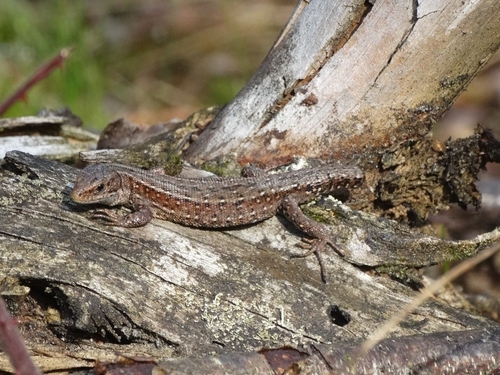



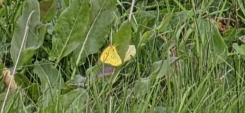


Research-grade observations from iNaturalist (within ~15 mi).
Events
Gallery
Sources
- • Wikipedia
- • Wikidata
- • iNaturalist
- • Open-Meteo / sunrise-sunset.org
- • Wikipedia Pageviews API