Browse / Netherlands / North Brabant / Breda
Breda
North Brabantcity

Breda
Total population
150,008
Demographic figures from CBS Netherlands. Overview below cites Wikipedia and may reference a different year.
City facts
Sister cities
Facts from Wikidata (CC0).
Overview
Breda is a city and municipality in the southern part of the Netherlands, located in the province of North Brabant. The name derived from brede Aa and refers to the confluence of the rivers Mark and Aa. Breda has 185,072 inhabitants on 13 September 2022 and is part of the Brabantse Stedenrij; it is the tenth largest city/municipality in the country, and the third largest in North Brabant after Eindhoven and Tilburg. It is equidistant from Rotterdam and Antwerp.
Read more on WikipediaHistory & geography
History
In the 11th century, Breda was a direct fief of the Holy Roman Emperor, The city of Breda obtained a municipal charter in 1252. After that Breda had the rights to build fortifications. The city constructed brick walls and Roman-style gates. In 1327, Adelheid of Gaveren sold Breda to Duke Johannes III of Brabant. In 1350, the fief was resold to Johannes II of Wassenaar (d. 1377). In 1403, the heiress of his line, Johanna of Polanen (1392–1445), married Engelbert I of Nassau (1370–1442; his sarcophagus is in the Grote Kerk in Breda). Through her, the city came into the possession of the House of Nassau, where it remained until 1795, passing to William I of Orange (1533–1584), stadtholder of Holland, Zeeland, and Utrecht and leader of the Dutch revolt. Thus, the baron of Breda was also Count of Nassau in the Holy Roman Empire, Prince of Orange, and (the main) stadtholder in the Dutch Republic (from 1572 to 1650, 1672–1702, 1747–1795). Breda remained part of the barony of Breda until it was captured by French revolutionary forces in 1795. The acquisition of the city by the House of Orange-Nassau marked its emergence as a residentiestad (residence city). The presence of the Orange-Nassau family attracted other nobles, who built palatial residences in the old quarters of the city. The most impressive one, built by the Italian architect Thomas Vincidor de Bologna for the first Dutch prince, was the first renaissance-style palace built north of the Alps. In the 15th century the city's physical, economic and strategic importance expanded rapidly. A great church was built in Brabantine Gothic style with an elegant tower, called Grote Kerk (main church) or also Onze Lieve Vrouwe Kerk (Church of Our Lady). In 1534 Henry III of Nassau-Breda rebuilt the modest medieval…
Excerpted from the corresponding Wikipedia article (CC BY-SA).
Geography
Coordinates & boundaries from the US Census TIGER/Line shapefiles.
Climate
Air quality
Walkability
Amenities nearby
Wildlife & biodiversity
Most-observed species
- Great TitParus major Linnaeus, 1758 · Aves20,938
- Common ChaffinchFringilla coelebs Linnaeus, 1758 · Aves20,822
- Common BuzzardButeo buteo (Linnaeus, 1758) · Aves20,438
- Eurasian BlackbirdTurdus merula Linnaeus, 1758 · Aves19,671
- Common ChiffchaffPhylloscopus collybita (Vieillot, 1817) · Aves19,053
- Eurasian Blue TitCyanistes caeruleus (Linnaeus, 1758) · Aves18,759
- Gray/Purple HeronArdea cinerea Linnaeus, 1758 · Aves18,202
- MallardAnas platyrhynchos Linnaeus, 1758 · Aves18,186
Citizen-science & research observations from the Global Biodiversity Information Facility (GBIF).
Earthquake history
Most recent
- M 2.9 — 2018-05-251 km S of Reppel, Belgium
- M 2.9 — 2013-01-200 km WNW of Brachterbeek, Netherlands
- M 4.2 — 2011-09-083 km ENE of Heijen, Netherlands
- M 2.8 — 2008-08-120 km SSW of Wessem, Netherlands
- M 2.6 — 2007-02-072 km SE of Montfort, Netherlands
- M 2.9 — 2007-02-072 km ESE of Montfort, Netherlands
Events from the USGS Earthquake Catalog (global) (FDSN Event Web Service).
Photos
Sights & places nearby
Notable people from here


People born within ~10 km, from Wikidata (CC0). Click any name for their Wikipedia article.
Nearby places in North Brabant
- Ulvenhout2.9 mi away · pop. 4,794
- Effen3.2 mi away · pop. 810
- Molenschot4.7 mi away · pop. 1,245
- Den Hout5 mi away · pop. 1,185
- Oosterhout5.3 mi away · pop. 49,483
- Galder5.3 mi away · pop. 1,265
- Etten-Leur6.2 mi away · pop. 43,027
- Langeweg6.3 mi away · pop. 870
- Oosteind6.6 mi away · pop. 1,254
- Hooge Zwaluwe6.7 mi away · pop. 1,709
- Zevenbergschen Hoek7.2 mi away · pop. 1,615
- Hulten7.7 mi away · pop. 315
Geography & sun
Elevation, sunrise/sunset and daylight from Open-Meteo. Solar climatology from NASA POWER.
Nearby airports
Public attention
Pageview totals from the Wikimedia Pageviews API.
Books about Breda
Search results from Open Library.
Recent natural events nearby
Ground air-quality sensors
Recently spotted species
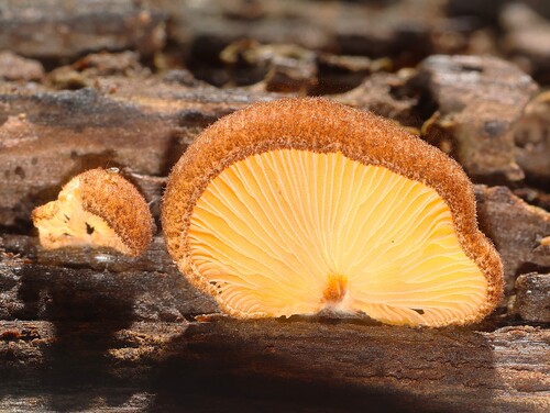
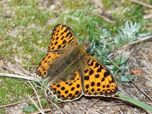
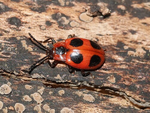
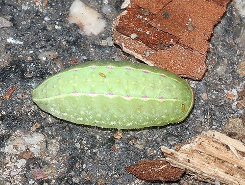
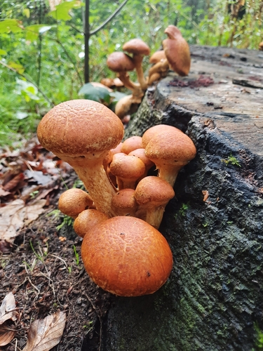
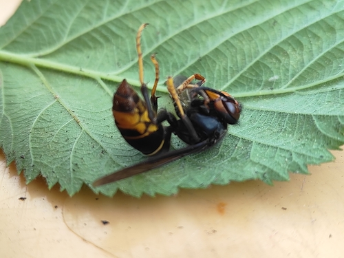
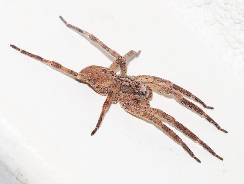
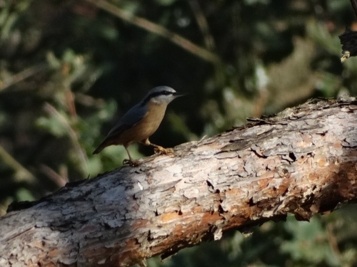
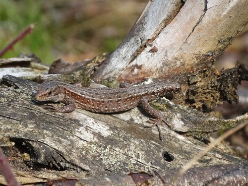
Research-grade observations from iNaturalist (within ~15 mi).
Events
Notable, recurring, and historical events associated with Breda, sourced from Wikidata.
- SMWCon Fall 2022Oct 26, 2022recurring event edition
Conference of the Semantic MediaWiki Community October 2022, Breda, Niederlande
Source: Wikidata (CC0).
Gallery
Official Identifiers
CBS — Statistics Netherlands
- CBS code
- 0758
- Population (Wikidata)
- 184,126
- Wikidata
- Q9822
Gemeente codes via Wikidata P382
Sources
- • Wikipedia
- • Wikidata
- • USGS Earthquake Catalog (global feed)
- • GBIF (Global Biodiversity Information Facility)
- • iNaturalist
- • Open-Elevation
- • Open-Meteo / sunrise-sunset.org
- • Wikipedia Pageviews API
- • Open Library
- • CBS — Statistics Netherlands, municipality code via Wikidata P382
- • CBS — Statistics Netherlands — Gemeente codes via Wikidata P382