Browse / Netherlands / South Holland / Brielle
Brielle
South Hollandtown

Brielle
Total population
13,407
Demographic figures from CBS Netherlands. Overview below cites Wikipedia and may reference a different year.
City facts
Overview
Brielle, also called Den Briel in Dutch and Brill in English, is a town and historic seaport in the western Netherlands, in the province of South Holland, on the north side of the island of Voorne-Putten, at the mouth of the New Maas. The former municipality covered an area of 31.14 km2 (12.02 sq mi) of which 3.59 km2 (1.39 sq mi) was water. In 2021 its population was 17,439.
Read more on WikipediaHistory & geography
History
Brielle is a very old, fortified town. Its name is derived from the Celtic word brogilo (meaning "closed area" or "hunting grounds"). The oldest writings about Brielle indicate that the current location is the "new" Brielle. Den ouden Briel (Old Brill) must have been situated somewhere else on the Voorne-Putten Island. It grew into a town of prestige in the 14th century. In 1330, Gerard van Voorne, independent Lord of Voorne and Viscount of Zeeland, granted town rights to Brielle. This gave the town governmental and jurisdictional powers and certain trading rights, such as the right to trade fish and collect port taxes. The town was for a long time the seat of the Lords of Voorne, until this fiefdom was added to the County of Holland in 1371. It had its own harbour and traded with the countries around the Baltic Sea. Brielle even had its own trading colony in Sweden. During the Eighty Years' War between the Netherlands and Spain, the Capture of Brielle on April 1, 1572, by Protestant rebels, the Watergeuzen, marked a turning point in the conflict, as many towns in Holland then began to support William of Orange against the Spanish Duke Fernando Álvarez de Toledo, 3rd Duke of Alba who was sent to pacify The Netherlands. This event is still celebrated each year on April 1 and the night before (known as Chalk Night (kalknacht) when the town is defaced with chalk - and now also white paint). Dutch students are taught a short rhyme to remember this fact, which rhyme refers to April Fools' Day: {| |Op 1 april verloor Alva de bril. Op April zes verloor Alva zijn fles | On April 1st, Alva lost his glasses On April 6th Alva lost his bottle |} In Dutch, "de bril" is the word for "the glasses," and closely rhymes with Den Briel; as does "Fles" which stands for the town of…
Excerpted from the corresponding Wikipedia article (CC BY-SA).
Geography
Coordinates & boundaries from the US Census TIGER/Line shapefiles.
Climate
Air quality
Walkability
Amenities nearby
Wildlife & biodiversity
Most-observed species
- Eurasian CootFulica atra Linnaeus, 1758 · Aves36,192
- MallardAnas platyrhynchos Linnaeus, 1758 · Aves28,806
- Gray/Purple HeronArdea cinerea Linnaeus, 1758 · Aves28,656
- Common ChiffchaffPhylloscopus collybita (Vieillot, 1817) · Aves26,941
- Eurasian BlackbirdTurdus merula Linnaeus, 1758 · Aves26,570
- Black-headed GullChroicocephalus ridibundus (Linnaeus, 1766) · Aves25,856
- Graylag GooseAnser anser (Linnaeus, 1758) · Aves25,768
- Eurasian OystercatcherHaematopus ostralegus Linnaeus, 1758 · Aves25,572
Citizen-science & research observations from the Global Biodiversity Information Facility (GBIF).
Earthquake history
Most recent
- M 2.9 — 2008-10-1119 km WNW of Egmond aan Zee, Netherlands
Events from the USGS Earthquake Catalog (global) (FDSN Event Web Service).
Photos
Sights & places nearby
Notable people from here


People born within ~10 km, from Wikidata (CC0). Click any name for their Wikipedia article.
Geography & sun
Elevation, sunrise/sunset and daylight from Open-Meteo. Solar climatology from NASA POWER.
Nearby airports
Public attention
Pageview totals from the Wikimedia Pageviews API.
Books about Brielle
Search results from Open Library.
Recent natural events nearby
Ground air-quality sensors
Recently spotted species
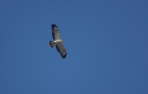
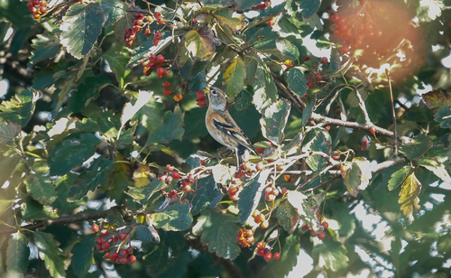
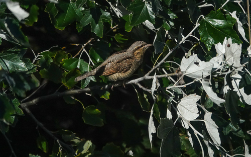
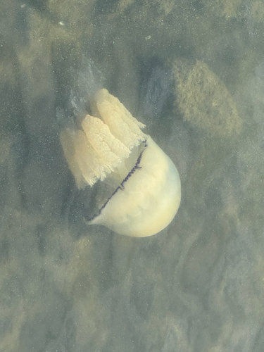
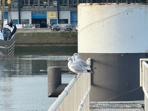
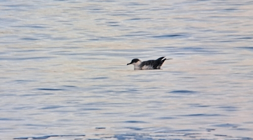
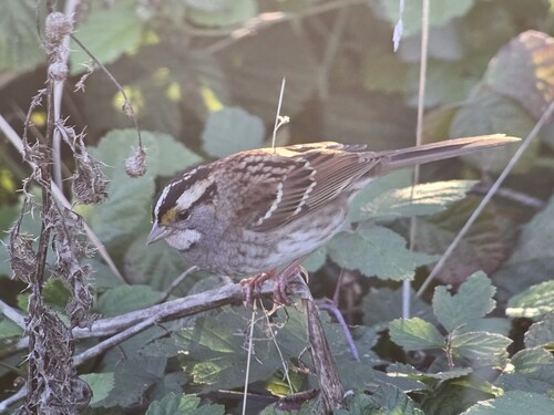
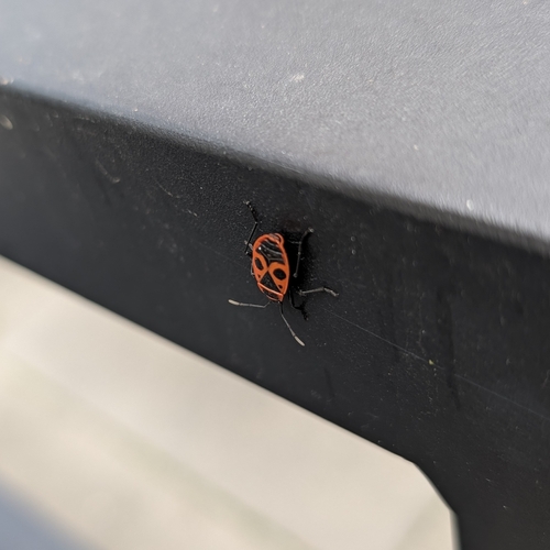
Research-grade observations from iNaturalist (within ~15 mi).
Events
Gallery
Official Identifiers
CBS — Statistics Netherlands
- CBS code
- 0501
- Population (Wikidata)
- 17,439
- Wikidata
- Q462663
Gemeente codes via Wikidata P382
Sources
- • Wikipedia
- • Wikidata
- • USGS Earthquake Catalog (global feed)
- • GBIF (Global Biodiversity Information Facility)
- • iNaturalist
- • Open-Meteo / sunrise-sunset.org
- • Wikipedia Pageviews API
- • Open Library
- • CBS — Statistics Netherlands, municipality code via Wikidata P382
- • CBS — Statistics Netherlands — Gemeente codes via Wikidata P382