Browse / Netherlands / Utrecht / De Bilt
De Bilt
Utrechttown

De Bilt
Total population
10,795
Air quality index
Demographic figures from CBS Netherlands. Overview below cites Wikipedia and may reference a different year.
City facts
Overview
De Bilt is a municipality and town in the province of Utrecht, Netherlands. It had a population of 43,384 in 2021. De Bilt houses the headquarters of the Royal Netherlands Meteorological Institute (KNMI).
Read more on WikipediaHistory & geography
Geography
Coordinates & boundaries from the US Census TIGER/Line shapefiles.
Climate
10-year averages from ERA5 reanalysis (Open-Meteo).
Air quality
Current readings from Open-Meteo Air Quality API (Copernicus CAMS European reanalysis).
Walkability
Amenities nearby
Wildlife & biodiversity
Most-observed species
- Eurasian BlackbirdTurdus merula Linnaeus, 1758 · Aves60,376
- Great TitParus major Linnaeus, 1758 · Aves57,543
- Common Wood-PigeonColumba palumbus Linnaeus, 1758 · Aves55,461
- MallardAnas platyrhynchos Linnaeus, 1758 · Aves55,259
- Eurasian CootFulica atra Linnaeus, 1758 · Aves51,720
- House SparrowPasser domesticus (Linnaeus, 1758) · Aves48,565
- Eurasian MagpiePica pica (Linnaeus, 1758) · Aves47,800
- Common ChaffinchFringilla coelebs Linnaeus, 1758 · Aves47,251
Citizen-science & research observations from the Global Biodiversity Information Facility (GBIF).
Earthquake history
Most recent
- M 4.2 — 2011-09-083 km ENE of Heijen, Netherlands
- M 2.9 — 2008-10-1119 km WNW of Egmond aan Zee, Netherlands
- M 2.9 — 2001-09-251 km NE of Oirlo, Netherlands
- M 3.4 — 2001-09-1010 km W of Wijk aan Zee, Netherlands
- M 3.8 — 2001-09-097 km W of Egmond aan Zee, Netherlands
Events from the USGS Earthquake Catalog (global) (FDSN Event Web Service).
Photos
Sights & places nearby
Notable people from here


People born within ~10 km, from Wikidata (CC0). Click any name for their Wikipedia article.
Nearby places in Utrecht
- Groenekan1.5 mi away · pop. 1,870
- Bosch en Duin2.5 mi away · pop. 1,635
- Huis ter Heide3.4 mi away · pop. 2,610
- Den Dolder3.4 mi away · pop. 4,395
- Soesterberg4.5 mi away · pop. 6,470
- Hollandsche Rading4.7 mi away · pop. 1,592
- Oud-Zuilen4.8 mi away · pop. 620
- Lage Vuursche5.2 mi away · pop. 285
- Houten5.7 mi away · pop. 46,050
- Tienhoven5.8 mi away · pop. 1,745
- Austerlitz6.2 mi away · pop. 1,475
- Maarssen6.2 mi away · pop. 38,560
Geography & sun
Elevation, sunrise/sunset and daylight from Open-Meteo. Solar climatology from NASA POWER.
Nearby airports
Public attention
Pageview totals from the Wikimedia Pageviews API.
Books about De Bilt
Search results from Open Library.
Recent natural events nearby
Ground air-quality sensors
Recently spotted species
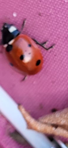
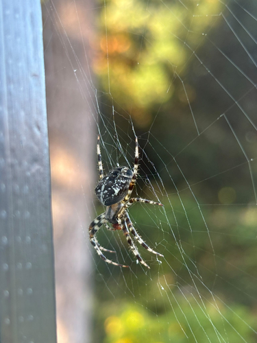
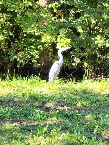
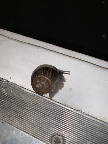
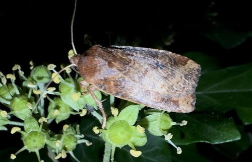
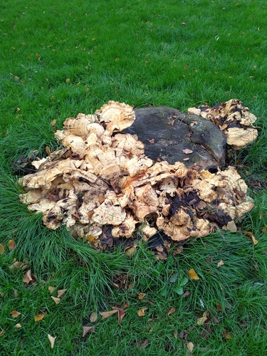
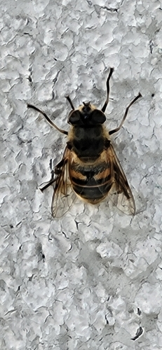
Research-grade observations from iNaturalist (within ~15 mi).
Events
Gallery
Official Identifiers
CBS — Statistics Netherlands
- CBS code
- 0310
- Population (Wikidata)
- 43,384
- Wikidata
- Q10035
Gemeente codes via Wikidata P382
Sources
- • Wikipedia
- • Open-Meteo (ERA5 reanalysis)
- • Wikidata
- • Open-Meteo Air Quality (CAMS)
- • USGS Earthquake Catalog (global feed)
- • GBIF (Global Biodiversity Information Facility)
- • iNaturalist
- • Open-Meteo / sunrise-sunset.org
- • Wikipedia Pageviews API
- • Open Library
- • CBS — Statistics Netherlands, municipality code via Wikidata P382
- • CBS — Statistics Netherlands — Gemeente codes via Wikidata P382