Browse / Netherlands / Utrecht / De Meern
De Meern
Utrechttown

De Meern
Total population
21,316
Demographic figures from CBS Netherlands. Overview below cites Wikipedia and may reference a different year.
City facts
Facts from Wikidata (CC0).
Overview
De Meern is an urbanized village in the Dutch province of Utrecht. It is a part of the municipality of Utrecht, and is located 6 km west of the inner city of this town.
Read more on WikipediaHistory & geography
History
De Meern lies in the region of a disappeared branch of the river Rhine. This river branch served as the northern border of the Roman Empire. On the river bank the Roman army built a walled camp, a so-called castellum. This happened in the first century after Christ. Also in other places in the Netherlands castella were built. The castellum in De Meern is unique within the Netherlands because of the Museum Hoge Woerd with numerous archeological objects found in the soil of De Meern. This museum is housed in a rebuilt version of the castellum on the same site as the former real castellum. Within the museum a complete Roman ship can be viewed. This ship was excavated in 1997 when a new residential area in De Meern was prepared. It was found underground, at the bottom of the former river Rhine. After a many years lasting preservation process to prevent oxidation the ship was moved to the new built Museum Hoge Woerd. In De Meern many objects from the Roman times and the Middle Ages are found, among which several ships, roads, pottery and currency. Most of these items (especially the big ones) have been put back into the ground for perfect preservation, since the riverclay prevents them from rotting. (It hardly lets oxygen through). Nevertheless, many objects found in the soil of De Meern can be viewed in the local Museum Hoge Woerd. A village 'De Meern' did not yet exist in the Roman times. In the 11th century there came farmers to the new 'polders' on the west of Utrecht. Round the year 1200 a dike called Meern was built. A bridge called Pons Maerne, in Dutch language: Meernbrug, was mentioned in a document from the year 1301. This bridge gave access to the dike Meern. Near the Meernbrug a chapel was founded. In the 15th century the village De Meern arose around this…
Excerpted from the corresponding Wikipedia article (CC BY-SA).
Geography
Coordinates & boundaries from the US Census TIGER/Line shapefiles.
Climate
10-year averages from ERA5 reanalysis (Open-Meteo).
Air quality
Walkability
Amenities nearby
Wildlife & biodiversity
Earthquake history
Photos
Sights & places nearby
Notable people from here


People born within ~10 km, from Wikidata (CC0). Click any name for their Wikipedia article.
Nearby places in Utrecht
- Oud-Zuilen3.5 mi away · pop. 620
- Nieuwegein3.7 mi away · pop. 61,869
- Maarssen4 mi away · pop. 38,560
- Groenekan5.7 mi away · pop. 1,870
- Lopikerkapel6.2 mi away · pop. 1,160
- Tienhoven6.3 mi away · pop. 1,745
- Houten6.5 mi away · pop. 46,050
- Hoef en Haag7.3 mi away · pop. 815
- Nieuwersluis8.1 mi away · pop. 475
- Lopik8.4 mi away · pop. 8,038
- Bosch en Duin8.8 mi away · pop. 1,635
- Loenen aan de Vecht8.9 mi away · pop. 4,390
Geography & sun
Elevation, sunrise/sunset and daylight from Open-Meteo. Solar climatology from NASA POWER.
Nearby airports
Public attention
Pageview totals from the Wikimedia Pageviews API.
Books about De Meern
Search results from Open Library.
Recent natural events nearby
Ground air-quality sensors
Recently spotted species
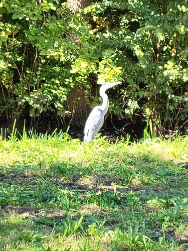
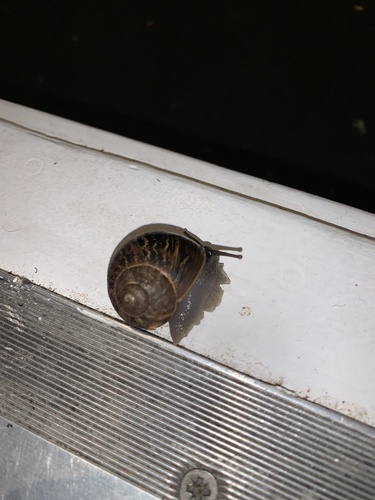
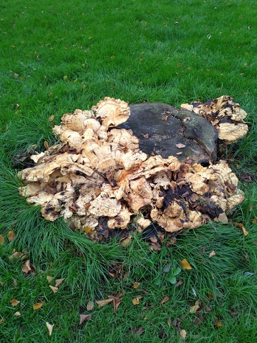
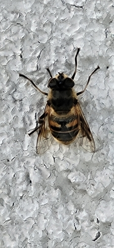
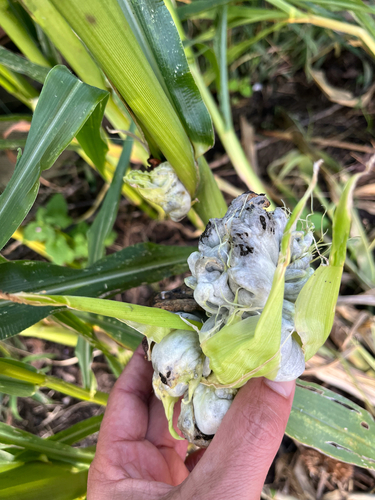
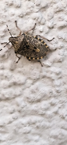
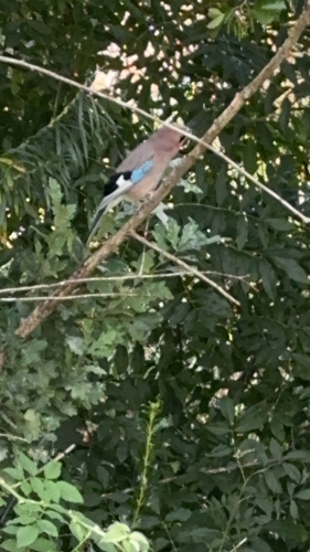
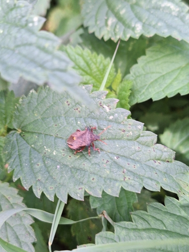
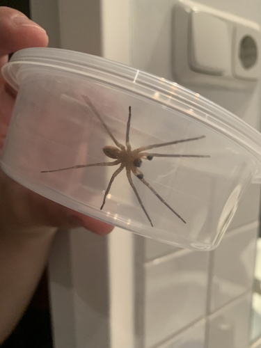
Research-grade observations from iNaturalist (within ~15 mi).
Events
Gallery
Sources
- • Wikipedia
- • Open-Meteo (ERA5 reanalysis)
- • Wikidata
- • iNaturalist
- • Open-Meteo / sunrise-sunset.org
- • Wikipedia Pageviews API
- • Open Library