Browse / Netherlands / South Holland / Delft
Delft
South Hollandcity

Delft
Total population
101,386
Founded
1246
Demographic figures from CBS Netherlands. Overview below cites Wikipedia and may reference a different year.
City facts
Sister cities
Facts from Wikidata (CC0).
Overview
Delft is a city and municipality in the province of South Holland, Netherlands. It is located between Rotterdam, to the southeast, and The Hague, to the northwest. Together with them, it is a part of both the Rotterdam–The Hague metropolitan area and the Randstad.
Read more on WikipediaHistory & geography
History
The city of Delft came into being beside a canal, the 'Delf', which comes from the word delven, meaning to delve or dig, and this led to the name Delft. At the elevated place where this 'Delf' crossed the creek wall of the silted up river Gantel, a Count established his manor, probably around 1075. Partly because of this, Delft became an important market town, the evidence for which can be seen in the size of its central market square. Having been a rural village in the early Middle Ages, Delft developed into a city, and on 15 April 1246, Count Willem II granted Delft its city charter. Trade and industry flourished. In 1389 the Delfshavensche Schie canal was dug through to the river Maas, where the port of Delfshaven was built, connecting Delft to the sea. Until the 17th century, Delft was one of the major cities of the then county (and later province) of Holland. In 1400, for example, the city had 6,500 inhabitants, making it the third largest city after Dordrecht (8,000) and Haarlem (7,000). By 1560, Amsterdam and Utrecht with about 28,000 inhabitants, had become the largest cities, followed by Delft, Leiden and Haarlem, which each had around 14,000 inhabitants. In 1536, a large part of the city was destroyed by the great fire of Delft. The town's association with the House of Orange started when William of Orange (Willem van Oranje), nicknamed William the Silent (Willem de Zwijger), took up residence in 1572 in the former Saint-Agatha convent (subsequently called the Prinsenhof). At the time he was the leader of growing national Dutch resistance against Spanish occupation, known as the Eighty Years' War. By then Delft was one of the leading cities of Holland and was equipped with the necessary city walls to serve as a headquarters. In October 1573, an attack by…
Excerpted from the corresponding Wikipedia article (CC BY-SA).
Geography
Coordinates & boundaries from the US Census TIGER/Line shapefiles.
Climate
Air quality
Walkability
Amenities nearby
Wildlife & biodiversity
Earthquake history
Photos
Sights & places nearby
Notable people from here
Nearby places in South Holland
- Den Hoorn1.4 mi away · pop. 8,246
- Delfgauw1.6 mi away · pop. 9,240
- Nootdorp2.6 mi away · pop. 19,160
- Rijswijk2.8 mi away · pop. 51,027
- Schipluiden3 mi away · pop. 4,533
- Pijnacker3.3 mi away · pop. 24,260
- Wateringen3.7 mi away · pop. 15,680
- Voorburg4.1 mi away · pop. 45,945
- Kwintsheul4.4 mi away · pop. 3,660
- The Hague5.1 mi away · pop. 525,745
- De Lier5.4 mi away · pop. 12,220
- Leidschendam5.4 mi away · pop. 26,335
Geography & sun
Nearby airports
Public attention
Books about this place
Recent natural events nearby
Ground air-quality sensors
Recently spotted species
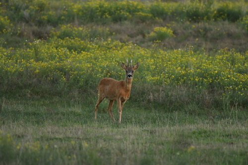


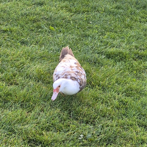
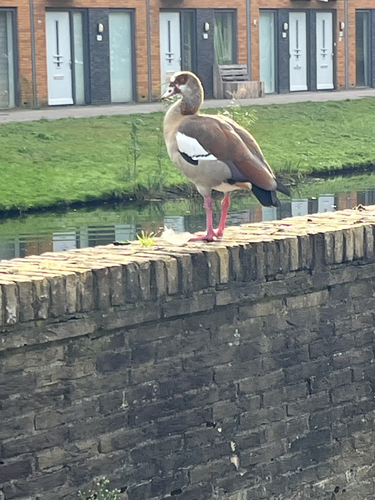
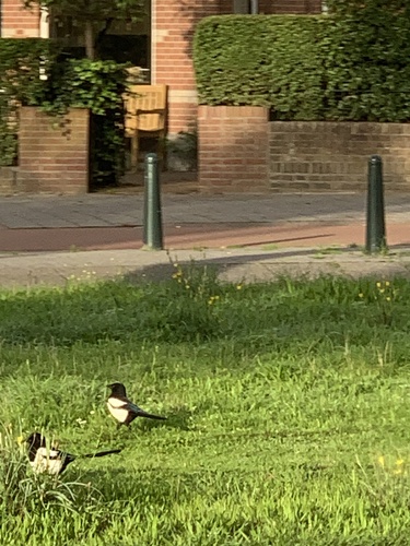
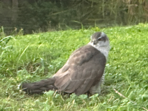
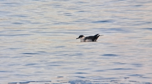

Research-grade observations from iNaturalist (within ~15 mi).
Events
Gallery
Official Identifiers
CBS — Statistics Netherlands
- CBS code
- 0503
- Population (Wikidata)
- 109,435
- Wikidata
- Q690
Gemeente codes via Wikidata P382
Sources
- • Wikipedia
- • Wikidata
- • iNaturalist
- • CBS — Statistics Netherlands, municipality code via Wikidata P382
- • CBS — Statistics Netherlands — Gemeente codes via Wikidata P382