Browse / Netherlands / North Holland / Den Helder
Den Helder
North Hollandtown

Den Helder
Total population
42,556
Demographic figures from CBS Netherlands. Overview below cites Wikipedia and may reference a different year.
City facts
Sister cities
Facts from Wikidata (CC0).
Overview
Den Helder is an industrial port town in the Netherlands, in the province of North Holland. Den Helder occupies the northernmost point of the North Holland peninsula. It is home to the country's main naval base. From here, the Royal TESO ferryboat service operates the transportation link between Den Helder and the nearby Dutch Wadden island of Texel to the north.
Read more on WikipediaHistory & geography
History
The oldest populated place in the municipality was Huisduinen, which was first attested to as "Husidina" in the middle of the 9th century CE. After major flooding at the end of the 12th century, Huisduinen, as well as the more southern town of Callantsoog, were left behind as islands. In the Wadden Sea area east of Huisduinen, high sand dunes formed that remained dry at high tide. These dunes (nollen) were named De Schooten (now known as De Nollen), 't Torp, de Gast, Ringelsant, 't Quelderen, Henesant, and Koegras. In the late Medieval period, the area belonged to the lords of Egmond. Helder itself was a nearby, village, founded around 1500 as die Helder buyrt on the same island. During the All Saints' Flood of 1570, large amounts of the dunes were swept away and the hamlet of Huisduinen and the village Helder disappeared. The places were subsequently rebuilt further inland. The new village of Helder was located at the level of what is now the Oud-Den Helder district. The population lived from fishing and pilotage.[29] The village's first church was built of wood in 1624 at a place called "de malle Croft". Due to the disappearance of coastal land, this church ended up on the beach, and in 1679 this Protestant bell-shaped church was moved to "de Conijnsbergh". Later, a Baptist meeting house, a Catholic clandestine church, an Old Catholic church and a synagogue were also built. In 1799, the city was the target of the Anglo-Russian invasion of Holland. The Nieuwe Diep was originally designed as a safe port for merchant shipping. Although the population of Den Helder benefited from the new port, urban expansion did not take place because construction was officially prohibited along the Nieuwe Diep. Construction of a naval port began for the first time during the French…
Geography
Den Helder is on the tip of a lowland peninsula jutting out into the North Sea . Because of this, Den Helder's climate is heavily moderated by the maritime environment. Also, Den Helder is one of the sunniest towns in the Netherlands. The municipality of Den Helder consists of the towns and villages of Den Helder, Huisduinen and Julianadorp, and the hamlets Friese Buurt and De Kooy. The major areas of Den Helder are the Stad Binnen de Linie (a city within the city's defence line), Nieuw-Den Helder, and De Schooten. Nieuw-Den Helder was built in the 1950s, following World War II, when there was a great need for additional housing. De Schooten was constructed in the 1960s. Map of Den Helder (town), March 2014.
Excerpted from the corresponding Wikipedia article (CC BY-SA).
Geography
Coordinates & boundaries from the US Census TIGER/Line shapefiles.
Climate
Air quality
Walkability
Amenities nearby
Wildlife & biodiversity
Earthquake history
Photos
Sights & places nearby
Notable people from here


People born within ~10 km, from Wikidata (CC0). Click any name for their Wikipedia article.
Nearby places in North Holland
- Den Hoorn4.7 mi away · pop. 995
- Julianadorp4.7 mi away · pop. 12,916
- Breezand5.1 mi away · pop. 3,715
- Oudeschild6.6 mi away · pop. 1,345
- Den Burg6.9 mi away · pop. 7,010
- Anna Paulowna7.3 mi away · pop. 8,125
- De Waal8.3 mi away · pop. 385
- Westerland8.4 mi away · pop. 930
- 't Zand8.4 mi away · pop. 2,440
- Callantsoog8.8 mi away · pop. 2,440
- Oudesluis8.9 mi away · pop. 760
- Hippolytushoef9.1 mi away · pop. 5,165
Geography & sun
Elevation, sunrise/sunset and daylight from Open-Meteo. Solar climatology from NASA POWER.
Nearby airports
Public attention
Pageview totals from the Wikimedia Pageviews API.
Books about this place
Recent natural events nearby
Ground air-quality sensors
Recently spotted species
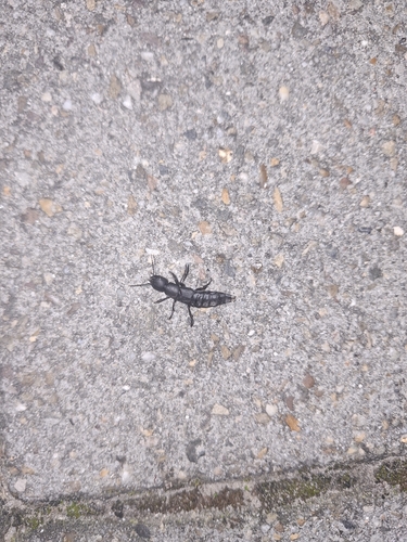
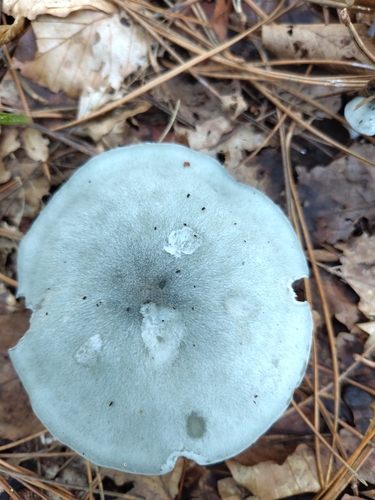
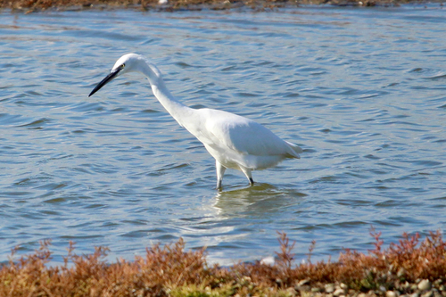
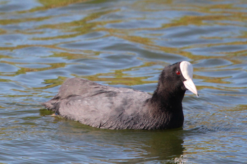
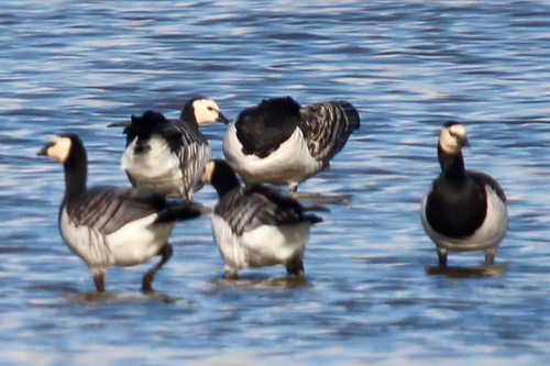
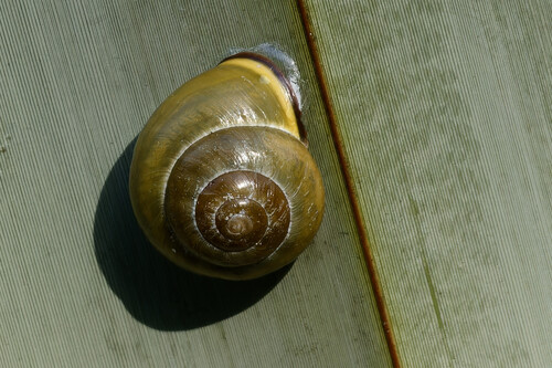
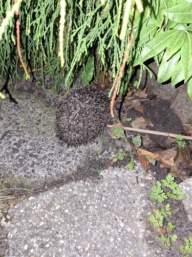
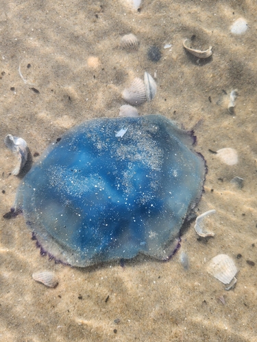
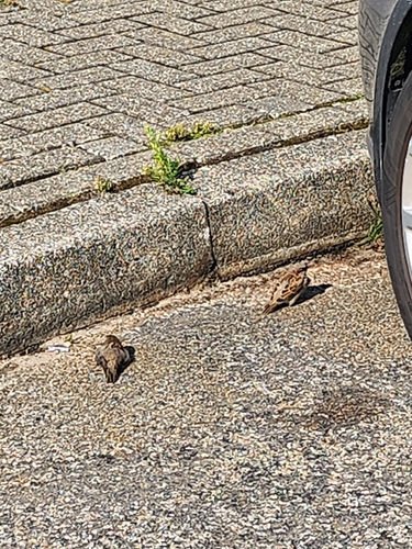
Research-grade observations from iNaturalist (within ~15 mi).
Events
Gallery
Official Identifiers
CBS — Statistics Netherlands
- CBS code
- 0400
- Population (Wikidata)
- 56,582
- Wikidata
- Q9911
Gemeente codes via Wikidata P382
Sources
- • Wikipedia
- • Wikidata
- • iNaturalist
- • Open-Meteo / sunrise-sunset.org
- • Wikipedia Pageviews API
- • CBS — Statistics Netherlands, municipality code via Wikidata P382
- • CBS — Statistics Netherlands — Gemeente codes via Wikidata P382