Browse / Netherlands / Gelderland / Doesburg
Doesburg
Gelderlandtown

Doesburg
Total population
11,341
Demographic figures from CBS Netherlands. Overview below cites Wikipedia and may reference a different year.
City facts
Facts from Wikidata (CC0).
Overview
Doesburg is a municipality and a city in the eastern Netherlands in the province of Gelderland. Doesburg received city rights in 1237 and had a population of 11,064 in 2021. The city is situated on the right bank of the River IJssel at its confluence with the River Oude IJssel. It is part of the Arnhem-Nijmegen Green Metropolitan Region, which aids planning and development in the region's eighteen municipalities.
Read more on WikipediaHistory & geography
History
Doesburg received city rights in 1237, one year later than the neighbouring town of Doetinchem. Because of its strategic position along the Oude IJssel and Gelderse IJssel, Doesburg has been an important fortified city for a long time. Its fortification made Doesburg an important economic and administrative city. The Martinikerk, the main church in Doesburg, is 94 meters tall. For many reasons, including the IJssel's decreasing depth, the prosperity of Doesburg stagnated after the 15th century. Due to its position near the Ijssel Doesburg became the location of military conflicts, it was captured by Willem IV van den Bergh and besieged 100 years later by the French. Doesburg became a quiet provincial town, and remained so until after the second world war. The city was protected in 1974, designated as a historic town. As Doesburg was officially a fortified city up to 1923, it could not be expanded. After the second world war the city grew rapidly. In the 1950s, a suburb called Molenveld () was built on the Eastern side of the city. In the 1970s and 1980s a suburb called Beinum was built to the south of the Oude IJssel, and Campstede was subsequently built to the south of Beinum. At the beginning of the 21st century the construction of a new area at the IJsselkade was started with 44 houses and 124 apartments designed by the Italian architect Adolfo Natalini. In 2007, construction of a hotel called "Noabers" was started. After a few months it was insolvent, but was taken over and reopened a year later.
Excerpted from the corresponding Wikipedia article (CC BY-SA).
Geography
Coordinates & boundaries from the US Census TIGER/Line shapefiles.
Climate
Air quality
Walkability
Amenities nearby
Wildlife & biodiversity
Earthquake history
Photos
Sights & places nearby
Notable people from here
Nearby places in Gelderland
- Drempt1.5 mi away · pop. 1,355
- Achter-Drempt1.9 mi away · pop. 325
- Ellecom2.6 mi away · pop. 1,110
- Dieren3.1 mi away · pop. 13,885
- Spankeren3.2 mi away · pop. 945
- Nieuw-Wehl3.4 mi away · pop. 800
- De Steeg3.4 mi away · pop. 1,090
- Laag-Keppel3.7 mi away · pop. 595
- Loil4.1 mi away · pop. 1,535
- Hummelo4.1 mi away · pop. 1,590
- Leuvenheim4.1 mi away · pop. 681
- Bronkhorst4.6 mi away · pop. 220
Geography & sun
Elevation, sunrise/sunset and daylight from Open-Meteo. Solar climatology from NASA POWER.
Nearby airports
Public attention
Pageview totals from the Wikimedia Pageviews API.
Books about Doesburg
Search results from Open Library.
Recent natural events nearby
Ground air-quality sensors
Recently spotted species
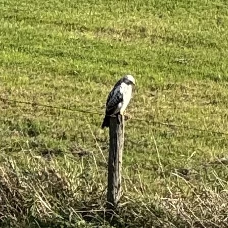
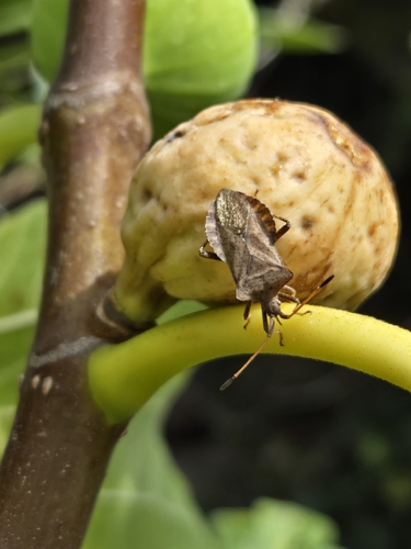
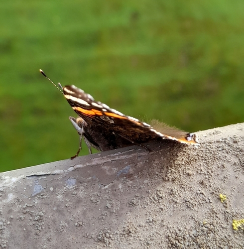
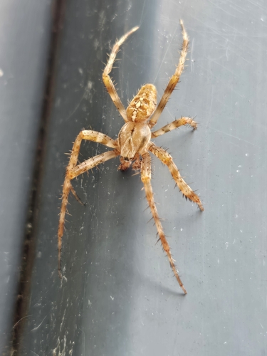
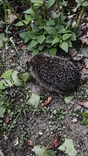
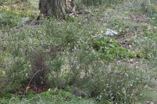
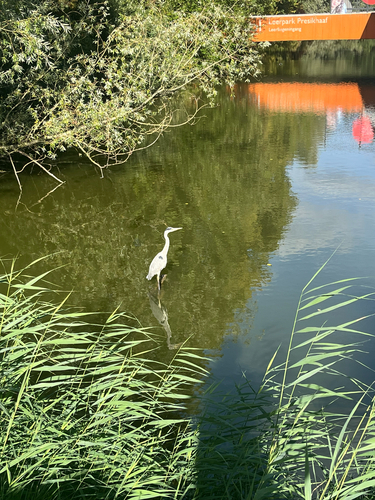
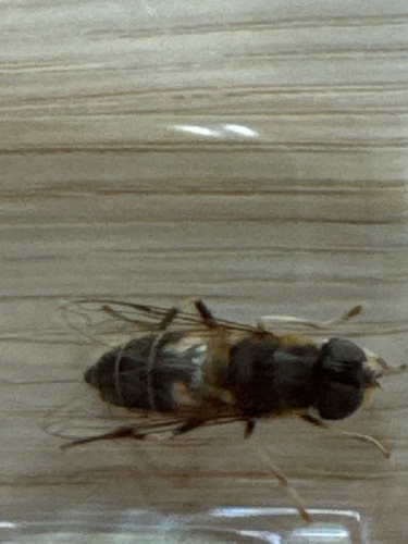
Research-grade observations from iNaturalist (within ~15 mi).
Events
Gallery
Official Identifiers
CBS — Statistics Netherlands
- CBS code
- 0221
- Population (Wikidata)
- 11,064
- Wikidata
- Q165736
Gemeente codes via Wikidata P382
Sources
- • Wikipedia
- • Wikidata
- • iNaturalist
- • Open-Meteo / sunrise-sunset.org
- • Wikipedia Pageviews API
- • Open Library
- • CBS — Statistics Netherlands, municipality code via Wikidata P382
- • CBS — Statistics Netherlands — Gemeente codes via Wikidata P382