Browse / Netherlands / Friesland / Drachten
Drachten
Frieslandtown

Drachten
Total population
45,186
Demographic figures from CBS Netherlands. Overview below cites Wikipedia and may reference a different year.
City facts
Sister cities
Facts from Wikidata (CC0).
Overview
Drachten is a town in the northern Netherlands. It is located in the municipality of Smallingerland, Friesland. It had a population of around 56,098 in 2023 and is the second largest town in the province of Friesland.
Read more on WikipediaHistory & geography
History
Drachten began as a small community on the east side of the Drait (or Dracht) river. There, early settlers started draining the land to use it for agriculture. As the process of draining progressed, residents began to move further eastward in order to use the drained land—former peatbogs—for agriculture. Around 1200 A.D., a small stone church was built. It was used for 200 years afterward, until rising waters drove people even further east. By 1550 the Dutch peat reserve had been exhausted. Peat had become an important source of energy, not only for private households but also for the industry. The need in the rapidly growing province of Holland during the 17th century was higher than Friesland could supply. Most of the transport was over water, therefore often by track boat. Peat exploitation meant a welcome activity for many villages, although most of the income did not flow into the pockets of the struggling peat cutters. In 1641, farmers in Drachten North and Drachten South entered into an agreement with wealthy residents of The Hague, the 'Drachten Associates'. One of these moneylenders was businessman Passchier Hendriks Bolleman from The Hague. The agreement stipulated that peat cut in Smallingerland was designated for the Holland industry. For transport by boat the Drachtster Compagnonsvaart canal and two side channels had to be constructed. During one year 800 workers had been digging every day. And where people spent their days, other developments followed, such as dwellings, places for storage, hostels and businesses. Although the economic success of cutting peat was short-lived (it even led to Passchier Bolleman's financial ruin), it spurred on to the foundation of Drachten. The Drachtstervaart brought in ships and the ships brought in not…
Geography
Drachten is situated in the municipality of Smallingerland in the east of the province of Friesland in the north of the Netherlands. Leeuwarden is to the northwest, Groningen northeast, and Heerenveen southwest. It is located along the Wijde Ee waterway, which flows into the larger Prinses Margriet Kanaal. It is surrounded by many small towns; its environment consists of lowlands with forests and peat moors, and nearby lakes.
Excerpted from the corresponding Wikipedia article (CC BY-SA).
Geography
Coordinates & boundaries from the US Census TIGER/Line shapefiles.
Climate
Air quality
Walkability
Amenities nearby
Wildlife & biodiversity
Earthquake history
Photos
Sights & places nearby
Notable people from here


People born within ~10 km, from Wikidata (CC0). Click any name for their Wikipedia article.
Nearby places in Friesland
- Kortehemmen2.1 mi away · pop. 258
- Opeinde2.3 mi away · pop. 1,656
- Rottevalle2.5 mi away · pop. 1,363
- Drachtstercompagnie2.5 mi away · pop. 1,185
- De Wilgen2.6 mi away · pop. 651
- Boornbergum2.7 mi away · pop. 1,681
- Olterterp3 mi away · pop. 74
- Nijega3.4 mi away · pop. 461
- Beetsterzwaag3.5 mi away · pop. 3,605
- Houtigehage3.6 mi away · pop. 905
- De Tike3.7 mi away · pop. 311
- Oudega4.1 mi away · pop. 1,701
Geography & sun
Elevation, sunrise/sunset and daylight from Open-Meteo. Solar climatology from NASA POWER.
Nearby airports
Public attention
Pageview totals from the Wikimedia Pageviews API.
Books about Drachten

Search results from Open Library.
Recent natural events nearby
Ground air-quality sensors
Recently spotted species
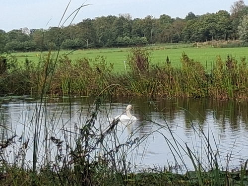
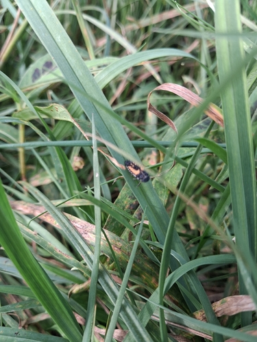
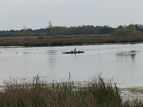
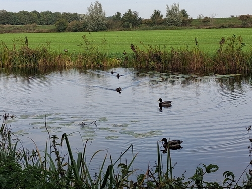
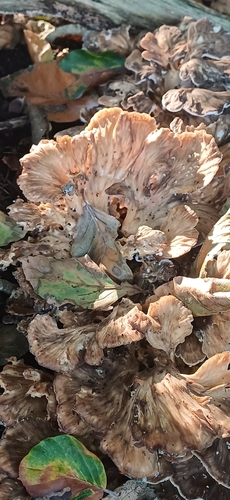
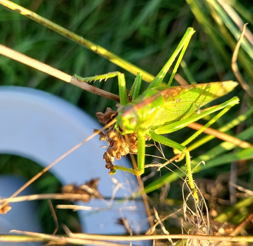
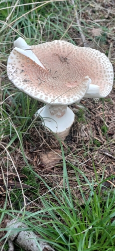
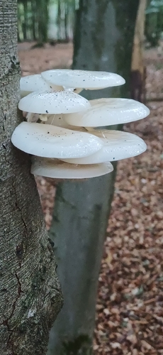
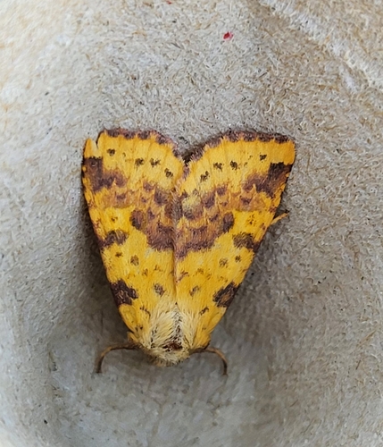
Research-grade observations from iNaturalist (within ~15 mi).
Events
Gallery
Sources
- • Wikipedia
- • Wikidata
- • iNaturalist
- • Open-Meteo / sunrise-sunset.org
- • Wikipedia Pageviews API
- • Open Library