Browse / Netherlands / Drenthe / Eelderwolde
Eelderwolde
Drenthevillage

Eelderwolde
Total population
2,360
Demographic figures from CBS Netherlands. Overview below cites Wikipedia and may reference a different year.
City facts
Overview
Eelderwolde is a village in the Dutch province of Drenthe. It is a part of the municipality of Tynaarlo, and lies about 5 km south of Groningen.
Read more on WikipediaHistory & geography
History
The village was first mentioned in 1442 as "to Eelderwolde", and means "woods of Eelde". Eelderwolde was home to 34 people in 1840. In 1973, a recreation area is developed near Eelderwolde. It was expanded in 1983, and in 1987, a Scandinavian village with sauna was added. Since 2006, the neighbourhood Ter Borch is being developed with will ultimately consists of 1,250 houses.
Excerpted from the corresponding Wikipedia article (CC BY-SA).
Geography
Coordinates & boundaries from the US Census TIGER/Line shapefiles.
Climate
Air quality
Walkability
Amenities nearby
Wildlife & biodiversity
Earthquake history
Photos
Sights & places nearby
Notable people from here


People born within ~10 km, from Wikidata (CC0). Click any name for their Wikipedia article.
Nearby places in Drenthe
- Peizermade1.9 mi away · pop. 125
- Paterswolde2 mi away · pop. 3,745
- Eelde2.8 mi away · pop. 6,840
- Peize2.8 mi away · pop. 5,070
- Roderwolde3.2 mi away · pop. 305
- Bunne3.9 mi away · pop. 220
- Altena4.1 mi away · pop. 305
- Yde4.5 mi away · pop. 835
- De Punt4.6 mi away · pop. 250
- Donderen5.4 mi away · pop. 475
- Roden5.4 mi away · pop. 15,595
- Lieveren5.6 mi away · pop. 135
Geography & sun
Nearby airports
Public attention
Books about this place
Recent natural events nearby
Ground air-quality sensors
Recently spotted species
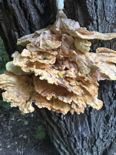
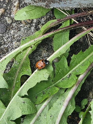
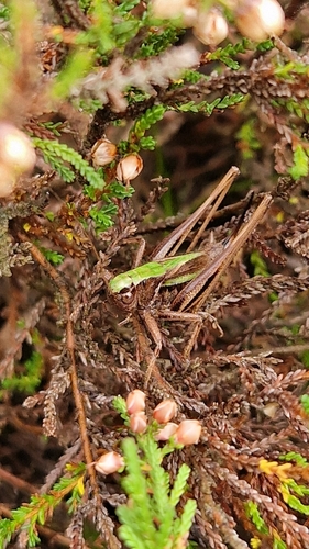
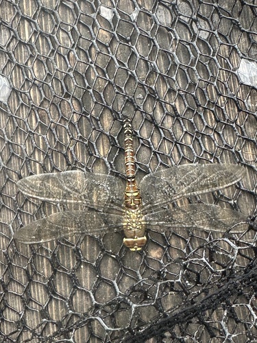
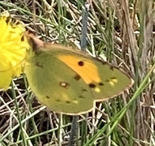
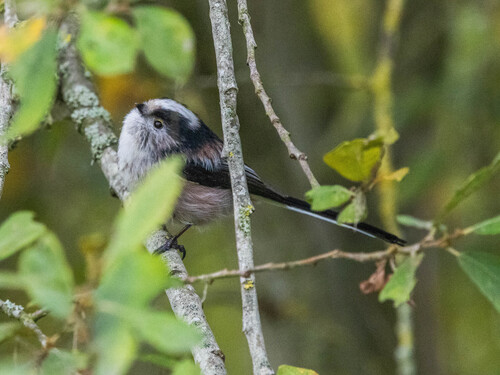
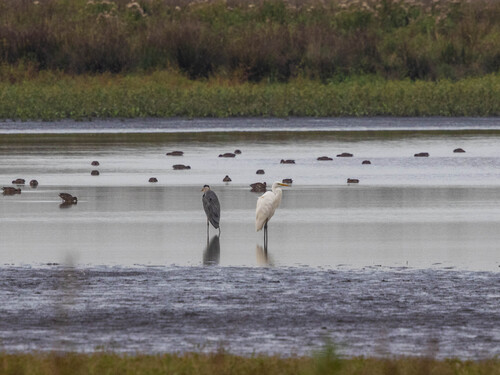

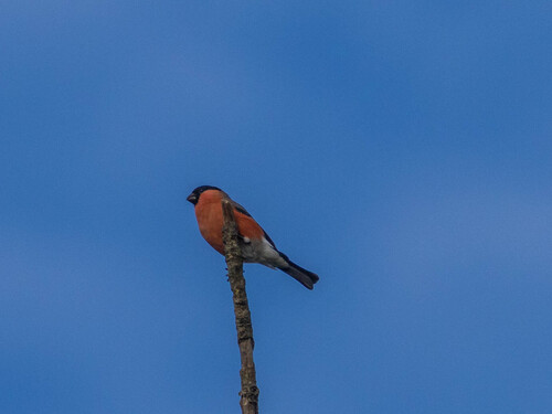
Research-grade observations from iNaturalist (within ~15 mi).
Events
Gallery
Sources
- • Wikipedia
- • Wikidata
- • iNaturalist