Browse / Netherlands / North Brabant / Eersel
Eersel
North Brabantvillage

Featured view
Eersel
Total population
9,910
Coordinates51.36°, 5.32°
Demographic figures from CBS Netherlands. Overview below cites Wikipedia and may reference a different year.
Loading additional data from public sources…0 / 11
CensusWikipediaWeatherPlacesPeopleEnvironmentHealth & SchoolsRelatedGeography & CultureLive MonitoringEvents & Gallery
0% completeCity facts
Overview
Eersel is a municipality and a town in southern Netherlands in the province of North Brabant. Eersel is situated in the Campine (Kempen) area.
Read more on WikipediaHistory & geography
Geography
Latitude
51.3586
Longitude
5.3201
Water area
—
Coordinates & boundaries from the US Census TIGER/Line shapefiles.
Climate
Air quality
Walkability
Amenities nearby
Wildlife & biodiversity
Earthquake history
Photos
Sights & places nearby
Notable people from here

Roy Beerens
Dutch association football player (born 1987)

Tommie van der Leegte
Dutch footballer

Rudi van Houts
Dutch racing cyclist
A
Alain van Katwijk
Dutch bicycle racer

Arnol Kox
Dutch street preacher (1952–2020)
J
Joannes Theodorus Keunen
Dutch politician

Jan Renier Snieders
Dutch writer (1812-1888)
J
Johannes Theodorus Smits
mayor of Eindhoven (1754-1827)

August Snieders
journalist, writer (1825-1904)
H
Henri Keunen
Dutch entrepreneur (1804-1887)

Harm van Veldhoven
Belgian footballer
T
Twan Tak
Dutch jurist
G
Godefridus Raupp
Dutch politician (1857-1932)
R
Rogier van der Sande
Dutch politician
C
Corky de Graauw
Dutch ice hockey player

Michelle Couwenberg
figure skater
People born within ~10 km, from Wikidata (CC0). Click any name for their Wikipedia article.
Nearby places in North Brabant
- Knegsel3.1 mi away · pop. 1,325
- Weebosch3.6 mi away · pop. 691
- Loo3.6 mi away · pop. 1,285
- Casteren4.4 mi away · pop. 1,075
- Veldhoven5.5 mi away · pop. 44,724
- Netersel5.8 mi away · pop. 944
- Waalre5.9 mi away · pop. 6,690
- Wintelre6 mi away · pop. 1,910
- Hulsel6.3 mi away · pop. 778
- Borkel6.8 mi away · pop. 760
- Schaft7.4 mi away · pop. 295
- Lage Mierde8.1 mi away · pop. 1,844
Geography & sun
Avg solar (kWh/m²/day)
3.03
Annual solar (kWh/m²)
1,104
Elevation, sunrise/sunset and daylight from Open-Meteo. Solar climatology from NASA POWER.
Nearby airports
Public attention
Wikipedia views (last 30 days)
3
Avg daily Wikipedia views
0
Attention level
Obscure
Pageview totals from the Wikimedia Pageviews API.
Books about this place
Recent natural events nearby
Ground air-quality sensors
Recently spotted species
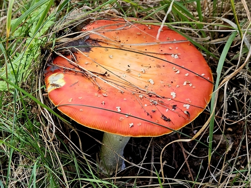
Fly Agaric
Amanita muscaria
Seen 2026-09-20
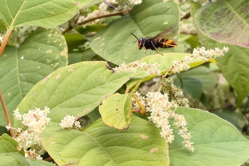
Yellow-legged Hornet
Vespa velutina
Seen 2026-09-20
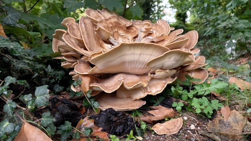
Giant Polypore
Meripilus giganteus
Seen 2026-09-20
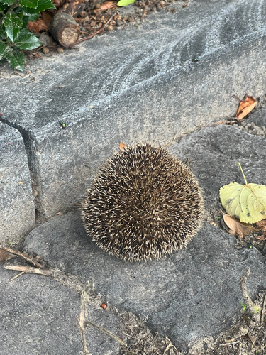
Common Hedgehog
Erinaceus europaeus
Seen 2026-09-19
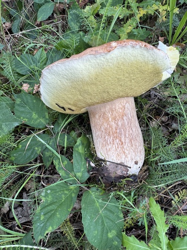
King Bolete
Boletus edulis
Seen 2026-09-17
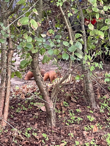
Eurasian Red Squirrel
Sciurus vulgaris
Seen 2026-09-15
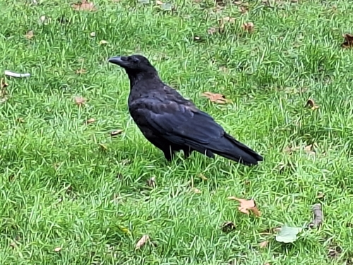
Carrion Crow
Corvus corone
Seen 2026-09-15
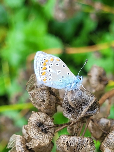
Common Blue
Polyommatus icarus
Seen 2026-09-13
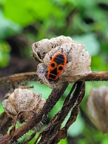
European Firebug
Pyrrhocoris apterus
Seen 2026-09-13
Research-grade observations from iNaturalist (within ~15 mi).
Events
Gallery
Official Identifiers
CBS — Statistics Netherlands
- CBS code
- 0770
- Population (Wikidata)
- 19,528
- Wikidata
- Q9831
Gemeente codes via Wikidata P382
Sources
- • Wikipedia
- • Wikidata
- • iNaturalist
- • Open-Meteo / sunrise-sunset.org
- • Wikipedia Pageviews API
- • CBS — Statistics Netherlands, municipality code via Wikidata P382
- • CBS — Statistics Netherlands — Gemeente codes via Wikidata P382