Browse / Netherlands / Groningen / Finsterwolde
Finsterwolde
Groningenvillage

Finsterwolde
Total population
2,260
Demographic figures from CBS Netherlands. Overview below cites Wikipedia and may reference a different year.
City facts
Facts from Wikidata (CC0).
Overview
Finsterwolde is a village in the Dutch province of Groningen, about 7 km northeast of the city of Winschoten. Finsterwolde was a separate municipality until 1990, when it was merged with Beerta into Reiderland. In 2010 Reiderland merged into the municipality Oldambt. The old municipality of Finsterwolde included six small nearby or connecting settlements. These are also taken into account in the population estimate of 2008, without which the actual population, purely based on the centre and new developments, would be 1250. The village is known for the Galery Waalkens.
Read more on WikipediaHistory & geography
History
The town was named "Little Moscow" by Time magazine in 1950, because communists have always had the majority of the votes since 1933. In July 1951, the elected municipality council was replaced by a , who ruled Finsterwolde until September 1953.
Excerpted from the corresponding Wikipedia article (CC BY-SA).
Geography
Coordinates & boundaries from the US Census TIGER/Line shapefiles.
Climate
Air quality
Walkability
Amenities nearby
Wildlife & biodiversity
Earthquake history
Photos
Sights & places nearby
Notable people from here


People born within ~10 km, from Wikidata (CC0). Click any name for their Wikipedia article.
Nearby places in Groningen
- Oostwold1.6 mi away · pop. 1,470
- Blauwestad2.8 mi away · pop. 1,025
- Nieuw-Beerta3.4 mi away · pop. 120
- Drieborg4.1 mi away · pop. 485
- Heiligerlee4.3 mi away · pop. 1,435
- Oudeschans4.8 mi away · pop. 100
- Westerlee5.4 mi away · pop. 1,480
- Bad Nieuweschans5.4 mi away · pop. 1,370
- 't Waar5.7 mi away · pop. 110
- Woldendorp5.7 mi away · pop. 915
- Nieuw-Scheemda5.7 mi away · pop. 275
- Blijham6.1 mi away · pop. 2,240
Geography & sun
Elevation, sunrise/sunset and daylight from Open-Meteo. Solar climatology from NASA POWER.
Nearby airports
Public attention
Pageview totals from the Wikimedia Pageviews API.
Books about Finsterwolde
Search results from Open Library.
Recent natural events nearby
Ground air-quality sensors
Recently spotted species

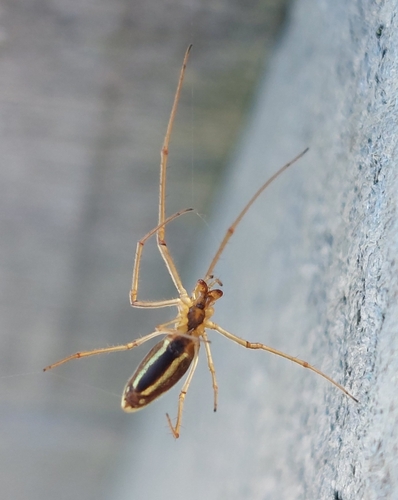
Research-grade observations from iNaturalist (within ~15 mi).
Events
Gallery
Official Identifiers
CBS — Statistics Netherlands
- CBS code
- 0013
- Population (Wikidata)
- 1,137
- Wikidata
- Q35130446
Gemeente codes via Wikidata P382
Sources
- • Wikipedia
- • Wikidata
- • iNaturalist
- • Open-Meteo / sunrise-sunset.org
- • Wikipedia Pageviews API
- • Open Library
- • CBS — Statistics Netherlands, municipality code via Wikidata P382
- • CBS — Statistics Netherlands — Gemeente codes via Wikidata P382