Browse / Netherlands / Friesland / Franeker
Franeker
Frieslandtown

Franeker
Total population
12,793
Demographic figures from CBS Netherlands. Overview below cites Wikipedia and may reference a different year.
City facts
Overview
Franeker is one of the eleven historical cities of Friesland and capital of the municipality of Waadhoeke. It is located north of the Van Harinxmakanaal and about 20 km (12 mi) west of Leeuwarden. As of 2023, it had 13,015 inhabitants. World Heritage Site the Eise Eisinga Planetarium, established in 1781, is located in the city.
Read more on WikipediaHistory & geography
History
Franeker was founded around 800 as a Carolingian stronghold. The name probably derives from Froon-acker, meaning 'land of the lord/king'; the oldest street in the city is still called Froonacker. Beginning around the 11th century, Franeker developed into the administrative center of northern Westergoa. Franeker received city rights in 1417, when it was recognised as an independent city and, through the ('Citizen's letter'), formally separated from the grietenij . At the end of the 15th century, Albert, Duke of Saxony established himself in Franeker, when he had taken over Friesland with the help of the Schieringers led by . On 12 May 1500, the city was besieged by an army of 16,000 dissatisfied Frisians during the , as a result of the high rents and taxes levied by Albert and his sons Henry and George of Saxony. Henry established his seat in the city of Franeker. The Frisians achieved nothing with the siege of the city because they were poorly trained and organised. Duke Albert of Saxony hastily assembled a large army to relieve Henry and the city of Franeker. Finally, the Frisians were defeated on 16 July 1500 and the city was relieved. On 26 March 1501, Henry IV of Saxony gave the city of Franeker a considerable (200 morgen) piece of salt marshland outside the dike, called the Franekerlanden. Three years later, Henry handed over the government of Friesland to his brother George. Franeker seemed to become the capital of Friesland at the end of the 15th century. In 1504, however, the Saxons fled to Leeuwarden. After that, the city remained important to the Saxons for a long time, until Friesland was transferred as a possession to Charles V in 1524. When the Dutch Republic revolted against the Spanish Empire, Franeker chose the side of William of Orange early on.…
Geography
Franeker is located in the municipality of Waadhoeke in the northwest of the province of Friesland in the north of the Netherlands. It is east of the city of Harlingen, north of the Van Harinxmakanaal, south of the Wadden Sea coast, and about west of the provincial capital Leeuwarden.
Excerpted from the corresponding Wikipedia article (CC BY-SA).
Geography
Coordinates & boundaries from the US Census TIGER/Line shapefiles.
Climate
Air quality
Walkability
Amenities nearby
Wildlife & biodiversity
Earthquake history
Photos
Sights & places nearby
Notable people from here


People born within ~10 km, from Wikidata (CC0). Click any name for their Wikipedia article.
Nearby places in Friesland
- Dongjum1.4 mi away · pop. 345
- Schalsum1.5 mi away · pop. 134
- Hitzum1.8 mi away · pop. 230
- Herbaijum1.9 mi away · pop. 253
- Tzum2.2 mi away · pop. 1,110
- Peins2.5 mi away · pop. 241
- Zweins2.7 mi away · pop. 119
- Wjelsryp3.1 mi away · pop. 460
- Sexbierum3.1 mi away · pop. 1,721
- Ried3.2 mi away · pop. 455
- Skingen3.3 mi away · pop. 114
- Pietersbierum3.3 mi away · pop. 140
Geography & sun
Elevation, sunrise/sunset and daylight from Open-Meteo. Solar climatology from NASA POWER.
Nearby airports
Public attention
Pageview totals from the Wikimedia Pageviews API.
Books about Franeker

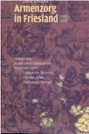

Search results from Open Library.
Recent natural events nearby
Ground air-quality sensors
Recently spotted species
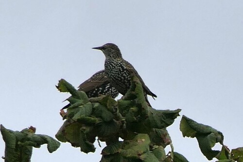
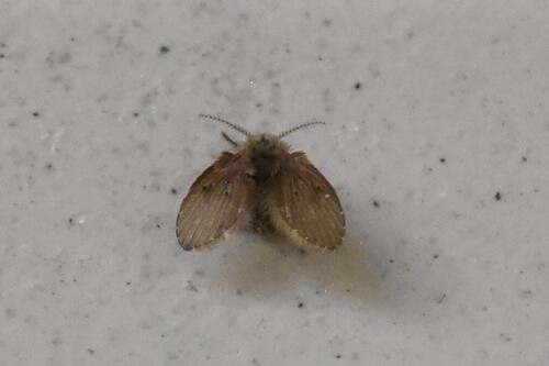
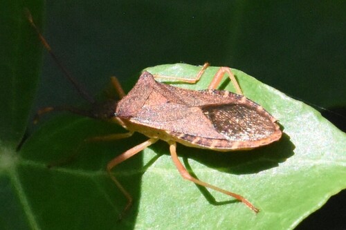
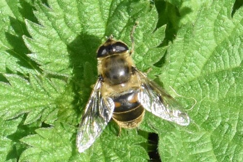
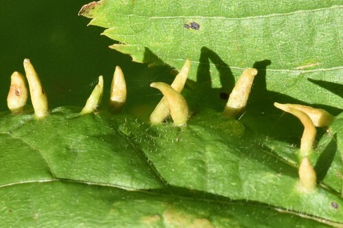
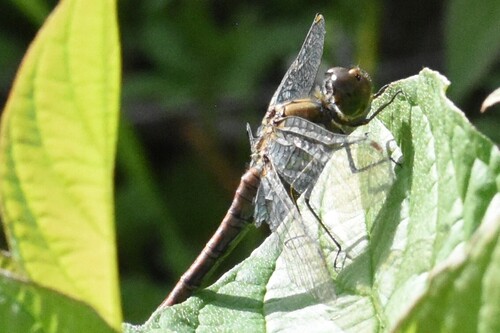
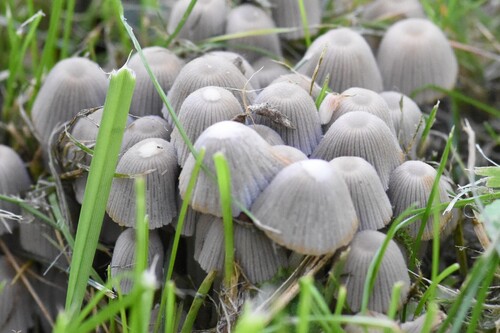
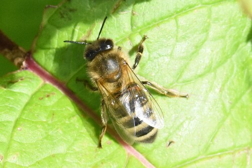
Research-grade observations from iNaturalist (within ~15 mi).
Events
Gallery
Official Identifiers
CBS — Statistics Netherlands
- CBS code
- 0069
- Population (Wikidata)
- 3,898
- Wikidata
- Q37990290
Gemeente codes via Wikidata P382
Sources
- • Wikipedia
- • Wikidata
- • iNaturalist
- • Open-Meteo / sunrise-sunset.org
- • Wikipedia Pageviews API
- • Open Library
- • CBS — Statistics Netherlands, municipality code via Wikidata P382
- • CBS — Statistics Netherlands — Gemeente codes via Wikidata P382