Browse / Netherlands / North Brabant / Geldrop
Geldrop
North Brabanttown

Geldrop
Total population
28,767
Demographic figures from CBS Netherlands. Overview below cites Wikipedia and may reference a different year.
City facts
Facts from Wikidata (CC0).
Overview
Geldrop is a town in the Dutch province of North Brabant. It is in the municipality of Geldrop-Mierlo, around 5km east of Eindhoven's city centre. Geldrop was a separate municipality until 2004, when it merged with Mierlo.
Read more on WikipediaHistory & geography
History
Geldrop has proven a fertile ground for archaeological digs, with finds from various historical and prehistorical eras. Through the years, several archaeological finds were made which testify to prehistoric occupants. Finds in the south of Zesgehuchten (a district of Geldrop) indicate small settlements from the New Stone Age (about 3000 BC). Finds from the Roman Period and the early Middle Ages have been found off Genoenhuis and Hoog Geldrop (districts in Geldrop). In the autumn of 1989, archaeological diggings at the nearby 't Zand Cemetery found four settlements from the late Roman Period and the Middle Ages: a period which covers the years between 350 and 1225 AD. The history of Geldrop itself dates back to the Middle Ages, and it was first mentioned in historical records in 1296. Over the centuries, it developed from a small agricultural community into a more industrially oriented village by the 19th century, with textiles becoming a significant industry.
Geography
Geldrop is situated near the city of Eindhoven, making it part of the Eindhoven metropolitan area. The village is characterized by its picturesque settings, surrounded by natural landscapes including forests and meadows which are part of the larger Strabrechtse Heide, an extensive heathland area. The A67 motorway (part of European route E34) links Geldrop with Eindhoven. Geldrop railway station is on the Eindhoven–Weert line.
Excerpted from the corresponding Wikipedia article (CC BY-SA).
Geography
Coordinates & boundaries from the US Census TIGER/Line shapefiles.
Climate
Air quality
Walkability
Amenities nearby
Wildlife & biodiversity
Earthquake history
Photos
Sights & places nearby
Notable people from here


People born within ~10 km, from Wikidata (CC0). Click any name for their Wikipedia article.
Nearby places in North Brabant
- Gerwen4.6 mi away · pop. 2,080
- Nederwetten5.1 mi away · pop. 850
- Sterksel5.4 mi away · pop. 1,540
- Leenderstrijp6.2 mi away · pop. 480
- Veldhoven6.7 mi away · pop. 44,724
- Someren-Heide7.7 mi away · pop. 1,380
- Ommel8.1 mi away · pop. 1,079
- Mariahout8.2 mi away · pop. 1,930
- Soerendonk8.3 mi away · pop. 1,773
- Heusden9.2 mi away · pop. 2,421
- Knegsel9.3 mi away · pop. 1,325
- Wintelre9.6 mi away · pop. 1,910
Geography & sun
Elevation, sunrise/sunset and daylight from Open-Meteo. Solar climatology from NASA POWER.
Nearby airports
Public attention
Pageview totals from the Wikimedia Pageviews API.
Books about this place
Recent natural events nearby
Ground air-quality sensors
Recently spotted species
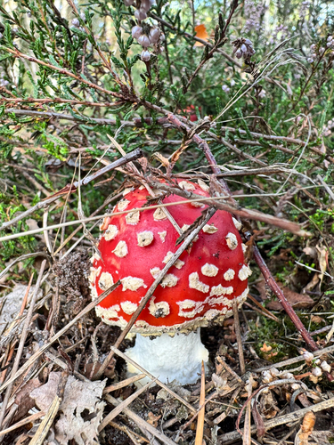
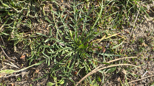
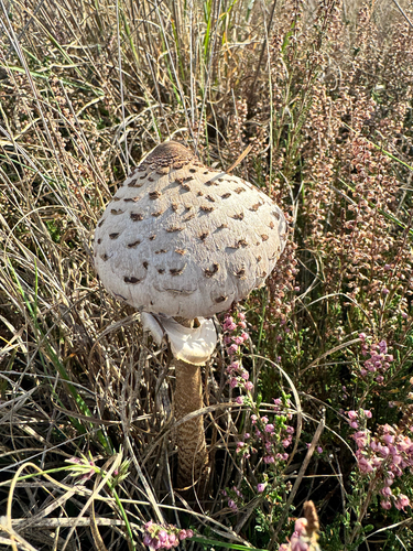
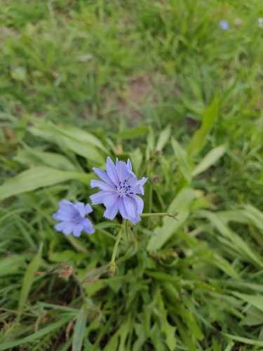

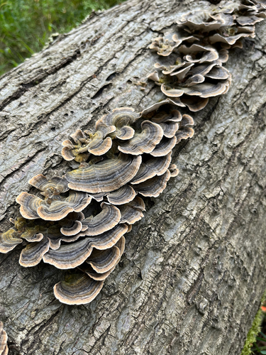
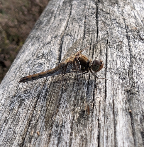

Research-grade observations from iNaturalist (within ~15 mi).
Events
Gallery
Official Identifiers
CBS — Statistics Netherlands
- CBS code
- 0781
- Population (Wikidata)
- 28,001
- Wikidata
- Q2636411
Gemeente codes via Wikidata P382
Sources
- • Wikipedia
- • Wikidata
- • iNaturalist
- • Open-Meteo / sunrise-sunset.org
- • Wikipedia Pageviews API
- • CBS — Statistics Netherlands, municipality code via Wikidata P382
- • CBS — Statistics Netherlands — Gemeente codes via Wikidata P382