Browse / Netherlands / Zeeland / Goes
Goes
Zeelandtown

Goes
Total population
27,495
Founded
1405
Demographic figures from CBS Netherlands. Overview below cites Wikipedia and may reference a different year.
City facts
Sister cities
Facts from Wikidata (CC0).
Overview
Goes is a city and municipality in the southwestern Netherlands on Zuid-Beveland, in the province of Zeeland. The city of Goes has approximately 29,000 residents.
Read more on WikipediaHistory & geography
History
Goes was founded in the 10th century on the edge of a creek: (the Short Gos). The village grew fast, and in the early 12th century it had a market square and a church devoted to Mary Magdalene. By 1300, it had a brick castle, now known as Oostende Castle. In 1405, Goes received city rights from William II, Duke of Bavaria, by his right as count of Holland, and in 1417, it was allowed to build town walls. The prosperity of the city was based upon the cloth industry and the production of salt. In the 16th century, Goes declined. Its connection to the sea silted up and in 1554 a large fire destroyed part of the city. In the autumn of 1572, during the course of the Eighty Years' War, Goes, in the Spanish Netherlands, was besieged by Dutch forces with the support of English troops. The siege was relieved in October 1572 by Spanish tercios, who waded across the Scheldt to attack the besieging forces. In 1577, the Spanish soldiers who occupied Goes were driven out by Prince Maurice of Nassau. The prince built a defence wall around Goes, which is still partly standing. From the 17th century, Goes did not play an important role, except as an agricultural centre. In 1868, a railway was constructed through it, but this did not lead to industrialisation. Agriculture remains the most important economic activity. Although the Netherlands were neutral in the First World War, seven bombs hit Goes and Kloetinge, due to an error by a British airplane. A house in Magdalenastreet in Goes was destroyed and one person killed. Goes did not suffer extensive damage during the Second World War, but was under German occupation until 1944. Goes did not experience much population growth until the 1970s and 1980s. Then, the city grew fast because of new districts like Goese Meer,…
Excerpted from the corresponding Wikipedia article (CC BY-SA).
Geography
Coordinates & boundaries from the US Census TIGER/Line shapefiles.
Climate
Air quality
Walkability
Amenities nearby
Wildlife & biodiversity
Most-observed species
- Eurasian SpoonbillPlatalea leucorodia Linnaeus, 1758 · Aves28,473
- Little Egret/Western Reef-HeronEgretta garzetta (Linnaeus, 1766) · Aves24,505
- Common RedshankTringa totanus (Linnaeus, 1758) · Aves20,622
- Pied AvocetRecurvirostra avosetta Linnaeus, 1758 · Aves16,520
- BrantBranta bernicla (Linnaeus, 1758) · Aves16,148
- Eurasian CurlewNumenius arquata (Linnaeus, 1758) · Aves15,919
- Eurasian OystercatcherHaematopus ostralegus Linnaeus, 1758 · Aves14,954
- Common ShelduckTadorna tadorna (Linnaeus, 1758) · Aves13,909
Citizen-science & research observations from the Global Biodiversity Information Facility (GBIF).
Earthquake history
Events from the USGS Earthquake Catalog (global) (FDSN Event Web Service).
Photos
Sights & places nearby
Notable people from here


People born within ~10 km, from Wikidata (CC0). Click any name for their Wikipedia article.
Nearby places in Zeeland
- Kloetinge1.1 mi away · pop. 3,410
- 's-Heer Hendrikskinderen1.2 mi away · pop. 1,305
- Wilhelminadorp1.9 mi away · pop. 720
- 's-Heer Abtskerke2.3 mi away · pop. 525
- Kattendijke2.7 mi away · pop. 530
- 's-Heer Arendskerke3 mi away · pop. 1,295
- 's-Gravenpolder3.1 mi away · pop. 4,687
- Kapelle3.2 mi away · pop. 6,995
- Wolphaartsdijk3.5 mi away · pop. 1,995
- Nisse3.5 mi away · pop. 624
- Biezelinge3.6 mi away · pop. 2,216
- Heinkenszand3.8 mi away · pop. 5,555
Geography & sun
Elevation, sunrise/sunset and daylight from Open-Meteo. Solar climatology from NASA POWER.
Nearby airports
Public attention
Pageview totals from the Wikimedia Pageviews API.
Books about Goes

Search results from Open Library.
Recent natural events nearby
Ground air-quality sensors
Recently spotted species
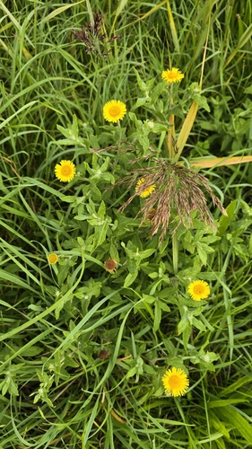
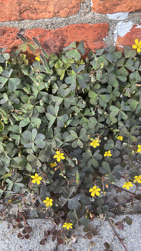
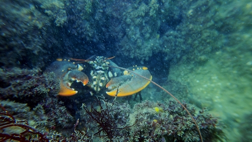
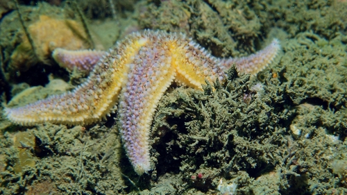
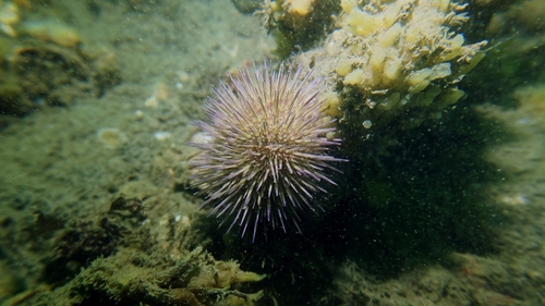
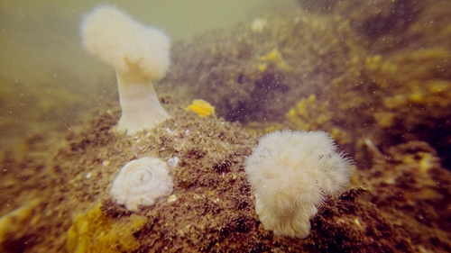
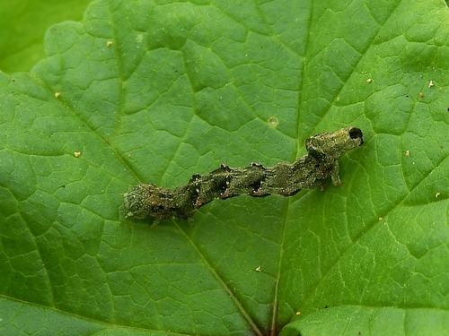
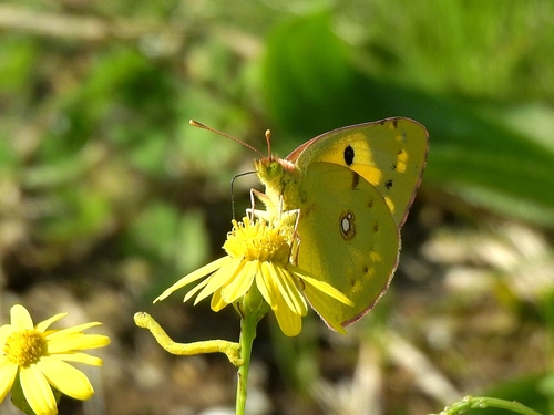
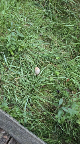
Research-grade observations from iNaturalist (within ~15 mi).
Events
Gallery
Official Identifiers
CBS — Statistics Netherlands
- CBS code
- 0664
- Population (Wikidata)
- 38,594
- Wikidata
- Q10072
Gemeente codes via Wikidata P382
Sources
- • Wikipedia
- • Wikidata
- • USGS Earthquake Catalog (global feed)
- • GBIF (Global Biodiversity Information Facility)
- • iNaturalist
- • Open-Meteo / sunrise-sunset.org
- • Wikipedia Pageviews API
- • Open Library
- • CBS — Statistics Netherlands, municipality code via Wikidata P382
- • CBS — Statistics Netherlands — Gemeente codes via Wikidata P382