Browse / Netherlands / North Holland / Haarlem
Haarlem
North Hollandcity

Haarlem
Total population
158,593
Founded
1185
Air quality index
Demographic figures from CBS Netherlands. Overview below cites Wikipedia and may reference a different year.
City facts
Facts from Wikidata (CC0).
Overview
Haarlem is a city and municipality in the Netherlands. It is the capital of the province of North Holland. Haarlem is situated at the northern edge of the Randstad, one of the most populated metropolitan areas in Europe; it is also part of the Amsterdam metropolitan area. Haarlem had a population of 162,543 in 2021.
Read more on WikipediaHistory & geography
History
Haarlem has a rich history dating back to pre-medieval times, as it lies on a thin strip of land above sea level known as the strandwal (beach ridge), which connects Leiden to Alkmaar. The people on this narrow strip of land struggled against the waters of the North Sea from the west, and the waters of the IJ and the Haarlem Lake from the east. Haarlem became wealthy with toll revenues that it collected from ships and travellers moving on this busy north–south route. As shipping became increasingly important economically, the city of Amsterdam became the main Dutch city of North Holland during the Dutch Golden Age. The town of Halfweg became a suburb, and Haarlem became a quiet bedroom community, and for this reason Haarlem still has many of its central medieval buildings intact. Many of them are now on the Dutch Heritage register known as Rijksmonuments. The list of Rijksmonuments in Haarlem gives an overview of these per neighbourhood, with the majority in the old city centre. The oldest mention of Haarlem dates from the 10th century. The name probably comes from "Haarlo-heim". This name is composed of three elements: haar, lo and heim. In Old Dutch toponyms lo always refers to 'forest' and heim (heem, em or um) to 'home' or 'house'. Haar, however, has several meanings, one of them corresponding with the location of Haarlem on a sand dune: 'elevated place'. The name Haarlem or Haarloheim would therefore mean 'home on a forested dune'. There was a stream called "De Beek", dug from the peat grounds west of the river Spaarne as a drainage canal. Over the centuries the Beek was turned into an underground canal, as the city grew larger and the space was needed for construction. Over time it began to silt up and in the 19th century it was filled in. The village had a…
Geography
Haarlem is located on the river Spaarne, giving it its nickname Spaarnestad (Spaarne city). It is situated about west of Amsterdam and near the coastal dunes. Haarlem has been the historical centre of the tulip bulb-growing district for centuries and bears its other nickname Bloemenstad (flower city) for this reason.
Excerpted from the corresponding Wikipedia article (CC BY-SA).
Geography
Coordinates & boundaries from the US Census TIGER/Line shapefiles.
Climate
10-year averages from ERA5 reanalysis (Open-Meteo).
Air quality
Current readings from Open-Meteo Air Quality API (Copernicus CAMS European reanalysis).
Walkability
Amenities nearby
Wildlife & biodiversity
Most-observed species
- Eurasian CootFulica atra Linnaeus, 1758 · Aves41,908
- Eurasian BlackbirdTurdus merula Linnaeus, 1758 · Aves35,796
- MallardAnas platyrhynchos Linnaeus, 1758 · Aves35,788
- Great TitParus major Linnaeus, 1758 · Aves34,880
- Eurasian MagpiePica pica (Linnaeus, 1758) · Aves34,549
- Carrion CrowCorvus corone Linnaeus, 1758 · Aves33,539
- Gray/Purple HeronArdea cinerea Linnaeus, 1758 · Aves33,432
- Western JackdawColoeus monedula (Linnaeus, 1758) · Aves33,135
Citizen-science & research observations from the Global Biodiversity Information Facility (GBIF).
Earthquake history
Most recent
- M 2.9 — 2008-10-1119 km WNW of Egmond aan Zee, Netherlands
Events from the USGS Earthquake Catalog (global) (FDSN Event Web Service).
Photos
Sights & places nearby
Notable people from here


People born within ~10 km, from Wikidata (CC0). Click any name for their Wikipedia article.
Nearby places in North Holland
- Overveen1.2 mi away · pop. 4,195
- Bloemendaal1.3 mi away · pop. 6,665
- Santpoort-Zuid2.1 mi away · pop. 3,276
- Haarlemmerliede2.1 mi away · pop. 332
- Spaarndam2.5 mi away · pop. 3,260
- Heemstede2.6 mi away · pop. 26,936
- Aerdenhout2.7 mi away · pop. 4,610
- Vijfhuizen3.1 mi away · pop. 4,868
- Santpoort-Noord3.1 mi away · pop. 7,131
- Velserbroek3.1 mi away · pop. 15,605
- Bentveld3.3 mi away · pop. 985
- Cruquius3.6 mi away · pop. 1,033
Geography & sun
Elevation, sunrise/sunset and daylight from Open-Meteo. Solar climatology from NASA POWER.
Nearby airports
Public attention
Pageview totals from the Wikimedia Pageviews API.
Books about Haarlem
Search results from Open Library.
Recent natural events nearby
Ground air-quality sensors
Recently spotted species
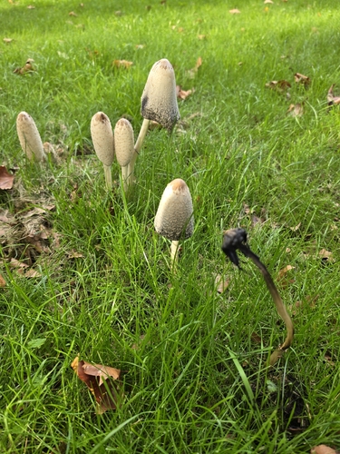
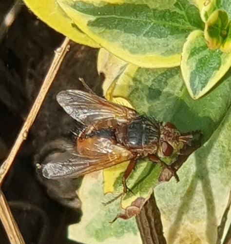
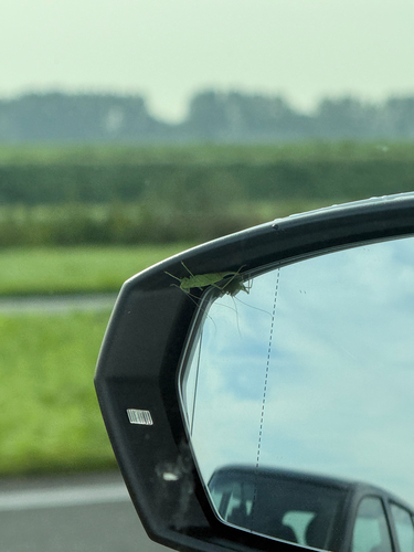
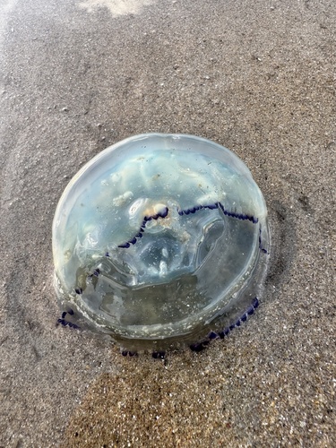
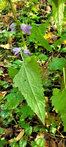
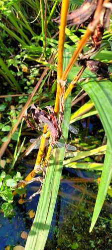
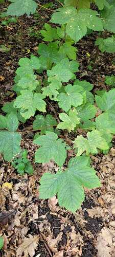
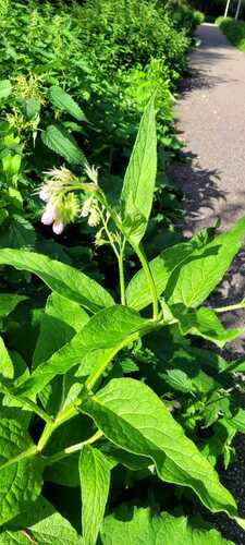
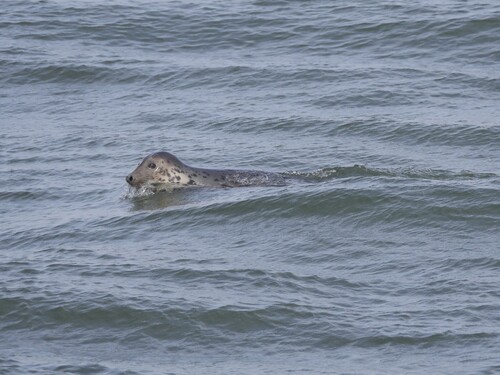
Research-grade observations from iNaturalist (within ~15 mi).
Events
Notable, recurring, and historical events associated with Haarlem, sourced from Wikidata.
Source: Wikidata (CC0).
Gallery
Geotagged photos within ~6 miles of Haarlem, from Wikimedia Commons contributors.
 0 mi
0 mi 0 mi
0 mi.jpg) 0 mi
0 mi.jpg) 0 mi
0 mi 0 mi
0 mi_03.jpg) 0 mi
0 mi_02.jpg) 0 mi
0 mi_01.jpg) 0 mi
0 mi_04.jpg) 0 mi
0 mi 0 mi
0 mi 0.1 mi
 0.1 mi
 0.1 mi
 0.1 mi
 0.1 mi
 0.1 mi
 0.1 mi
 0.1 mi
.jpg) 0.1 mi
0.1 mi 0.1 mi
.jpg) 0.1 mi
0.1 mi 0.1 mi
 0.1 mi
 0.1 mi
Photos via Wikimedia Commons — see each image page for license & attribution.
Official Identifiers
CBS — Statistics Netherlands
- CBS code
- 0392
- Population (Wikidata)
- 162,543
- Wikidata
- Q9920
Gemeente codes via Wikidata P382
Sources
- • Wikipedia
- • Open-Meteo (ERA5 reanalysis)
- • Wikimedia Commons
- • Wikidata
- • Open-Meteo Air Quality (CAMS)
- • USGS Earthquake Catalog (global feed)
- • GBIF (Global Biodiversity Information Facility)
- • iNaturalist
- • Open-Meteo / sunrise-sunset.org
- • Wikipedia Pageviews API
- • Open Library
- • CBS — Statistics Netherlands, municipality code via Wikidata P382
- • CBS — Statistics Netherlands — Gemeente codes via Wikidata P382