Browse / Netherlands / Limburg / Heerlen
Heerlen
Limburgcity

Heerlen
Total population
67,943
Demographic figures from CBS Netherlands. Overview below cites Wikipedia and may reference a different year.
City facts
Sister cities
Facts from Wikidata (CC0).
Overview
Heerlen is a city and a municipality in the southeast of the Netherlands. It is the third largest settlement proper in the province of Limburg. Measured as a municipality, it is the fourth largest municipality in the province of Limburg.
Read more on WikipediaHistory & geography
History
A habitation from the Michelsberg culture () was excavated at the Schelsberg, near Heerlen, in 1997. Archeological finds from this period are rare in the Netherlands, and this site is unique among those in the country, as it is the first excavated site with ditches and earth walls (earthworks). Even with these proofs of early habitation, the history of Heerlen properly starts with the arrival of the Romans. They founded a military settlement, named Coriovallum on the crossroad of two main roads: Boulogne sur Mer – Cologne and Xanten – Aachen – Trier. In Heerlen and its surroundings, much evidence of Roman life has been excavated, especially Roman villas (country estates). The most notable archeological excavation from Roman times is the Thermae complex in the centre of Heerlen, a Roman bathhouse, discovered in 1940. In the Netherlands only a few of these have been found. It is a clear indication that Coriovallum/Heerlen was of some importance. A museum has been built over the Thermae and opened in 1977. The Thermenmuseum also houses other Roman finds from the area. Like many other Roman settlements in the Netherlands, Coriovallum was probably abandoned after the 3rd/4th-century Roman retreat. Very little is known about Heerlen's history until the 10th century, when agricultural development continues once again in these parts of Europe. Farmhouses and mills are built across the valleys of Caumerbeek, Schandelerbeek and Geleenbeek and medieval Heerlen slowly takes shape. The oldest mention of Heerlen (as 'Herle') is in an official document dated 1065. Udo, bishop of Toul, documents some gifts. One of them is the allodium Heerlen, in the bishopry of Liege. Another allodium consists of a few chapels, which belong to the mother church in Voerendaal, close to Heerlen.…
Geography
Heerlen is located at in the province of Limburg in the southeast of the Netherlands on the border with Germany. It is situated in the COROP region of South Limburg and is part of the agglomeration Parkstad Limburg, formerly known as Oostelijke Mijnstreek. Heerlen is bordered by the Dutch municipalities of Simpelveld (in the south), Voerendaal and Nuth (west), Schinnen (northwest), Brunssum (north), Landgraaf and Kerkrade (east), and the German municipality of Aachen (southeast). Heerlen's high elevation makes it one of the highest cities above sea level in the Netherlands.
Excerpted from the corresponding Wikipedia article (CC BY-SA).
Geography
Coordinates & boundaries from the US Census TIGER/Line shapefiles.
Climate
Air quality
Walkability
Amenities nearby
Wildlife & biodiversity
Earthquake history
Photos
Sights & places nearby
Notable people from here


People born within ~10 km, from Wikidata (CC0). Click any name for their Wikipedia article.
Nearby places in Limburg
- Kunrade1.9 mi away · pop. 3,457
- Voerendaal2.3 mi away · pop. 3,023
- Ubachsberg2.6 mi away · pop. 1,736
- Landgraaf2.6 mi away · pop. 37,456
- Simpelveld3.6 mi away · pop. 5,430
- Eygelshoven3.6 mi away · pop. 2,246
- Brunssum3.8 mi away · pop. 28,358
- Kerkrade4 mi away · pop. 45,643
- Ransdaal4.1 mi away · pop. 972
- Termaar4.1 mi away
- Hommert4.2 mi away · pop. 1,080
- Klimmen4.2 mi away · pop. 3,262
Geography & sun
Nearby airports
Public attention
Books about this place
Recent natural events nearby
Ground air-quality sensors
Recently spotted species
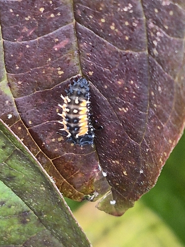
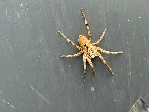
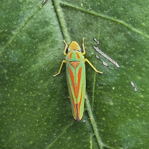
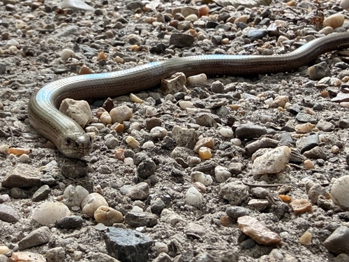
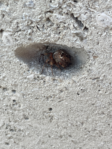
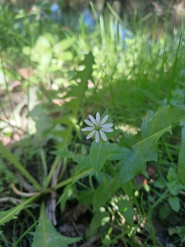
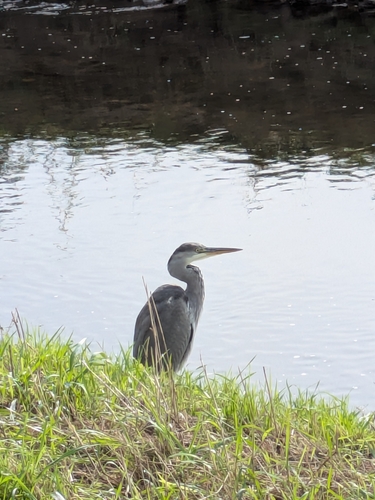
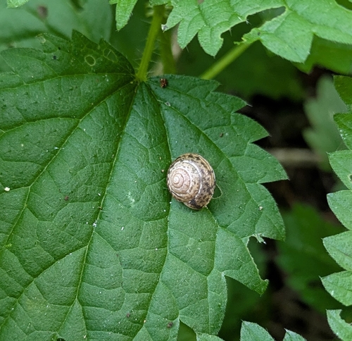
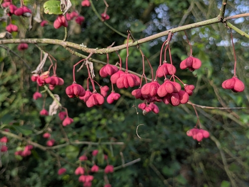
Research-grade observations from iNaturalist (within ~15 mi).
Events
Gallery
Official Identifiers
CBS — Statistics Netherlands
- CBS code
- 0917
- Population (Wikidata)
- 86,936
- Wikidata
- Q9799
Gemeente codes via Wikidata P382
Sources
- • Wikipedia
- • Wikidata
- • iNaturalist
- • CBS — Statistics Netherlands, municipality code via Wikidata P382
- • CBS — Statistics Netherlands — Gemeente codes via Wikidata P382