Browse / Netherlands / North Brabant / Helmond
Helmond
North Brabantcity

Helmond
Total population
90,609
Demographic figures from CBS Netherlands. Overview below cites Wikipedia and may reference a different year.
City facts
Sister cities
Facts from Wikidata (CC0).
Overview
Helmond is a city and municipality in the Metropoolregio Eindhoven of the province of North Brabant in the Southern Netherlands.
Read more on WikipediaHistory & geography
History
Helmond's coat of arms, first appearing in 1241, displays a helmet, and is a canting arms for the city's name, as "helm" means "helmet" in Dutch. However, the actual etymology of Helmond's name is probably derived from the combination of Hel, which means "low-lying" (from Proto-Germanic *haljæ / Hel), and Mond, which referred to higher ground or a secure place. The helmet on the coat of arms originally was depicted as a medieval great helm, however, the design eventually came to depict a jousting helmet. The oak sprigs symbolize freedom, while the bird perched on them is thought to be purely decorative. During the Merovingian period, the site of what is now Helmond was an only partially habitable convergence of streams. As the streams began to silt over, settlement was made possible, and by the year 1000, a settlement arose west of what is the current city center. Additionally, a precursor to the current Helmond Castle, named 't Oude Huys ("the old house"), was built around this time. Documents from 1108 mention Lord Hazelo von Helmond, the first feudal lord of the allodium of Helmond. In 1179, a bull of Pope Alexander III mentions Helmond being donated to the Abbey of Floreffe. At this point, the local feudal administration was probably moved to 't Oude Huys. In 1220, Helmond came under the control of Henry I of Brabant. In 1225, the town was founded by Henry, it received its Town Privileges in 1232. Following his death in 1235, it was passed down to his daughter, Maria of Brabant, Holy Roman Empress, who spent much time at 't Oude Huys and whose founding of Binderen Abbey benefited the growth of the city. Upon her death in 1260, the town passed back to the Dukes of Brabant, who, in 1315, leased it to the van Berlaer family. In 1325, Jan II Berthout van Berlaer…
Geography
Helmond is subdivided into quarters and neighbourhoods: *Quarter 11 Inner City **Neighbourhood 0 Centrum **Neighbourhood 2 Leonardus **Neighbourhood 3 Heipoort **Neighbourhood 4 Stationsgebied **Neighbourhood 5 Vossenberg **Neighbourhood 6 Annabuurt en Suytkade **Neighbourhood 7 Steenweg en omgeving *Quarter 11 Helmond-East **Neighbourhood 0 Beisterveld **Neighbourhood 1 Beisterveldse Broek **Neighbourhood 2 Straakven *Quarter 12 Helmond-North **Neighbourhood 0 Bloemvelden **Neighbourhood 1 Binderen **Neighbourhood 2 Eeuwsels *Quarter 13 Mierlo-Hout **Neighbourhood 0 't Hout-Centrum **Neighbourhood 1 Kroon **Neighbourhood 2 Akkers **Neighbourhood 3 Gansenwinkel **Neighbourhood 9 Groot Goor *Quarter 14 Brouwhuis **Neighbourhood 0 Brouwhuis-Dorp **Neighbourhood 1 Brouwhuis-West **Neighbourhood 2 Brouwhuis-Oost **Neighbourhood 4 Brouwhorst **Neighbourhood 9 Kloostereind *Quarter 15 Helmond-West **Neighbourhood 0 West **Neighbourhood 1 Houtsdonk *Quarter 16 Warande **Neighbourhood 0 Oranjebuurt **Neighbourhood 1 Zwanenbeemd **Neighbourhood 9 Overbrug *Quarter 17 Stiphout **Neighbourhood 0 Stiphout-Dorp **Neighbourhood 1 Schooten **Neighbourhood 9 Geeneind *Quarter 18 Rijpelberg **Neighbourhood 1 Rijpelberg-Oost **Neighbourhood 2 Rijpelberg-West **Neighbourhood 9 Berkendonk *Quarter 19 Dierdonk **Neighbourhood 0 Kern Dierdonk **Neighbourhood 9 Scheepstal *Quarter 21 Brandevoort **Neighbourhood 1 De Veste **Neighbourhood 2 Schutsboom **Neighbourhood 3 Stepekolk **Neighbourhood 4 Berenbroek *Quarter 29 Industrial park-South **Neighbourhood 1 Hoogeind **Neighbourhood 2 B.Z.O.B.
Excerpted from the corresponding Wikipedia article (CC BY-SA).
Geography
Coordinates & boundaries from the US Census TIGER/Line shapefiles.
Climate
10-year averages from ERA5 reanalysis (Open-Meteo).
Air quality
Walkability
Amenities nearby
Wildlife & biodiversity
Earthquake history
Photos
Sights & places nearby
Notable people from here
Nearby places in North Brabant
- Gerwen4 mi away · pop. 2,080
- De Mortel4.8 mi away · pop. 1,575
- Milheeze5.6 mi away · pop. 2,173
- Mariahout5.6 mi away · pop. 1,930
- Ommel5.6 mi away · pop. 1,079
- Boerdonk5.7 mi away · pop. 750
- Nederwetten5.7 mi away · pop. 850
- Deurne6.1 mi away · pop. 24,690
- Handel7.4 mi away · pop. 1,814
- Heusden8 mi away · pop. 2,421
- De Rips8.3 mi away · pop. 1,121
- Liessel8.4 mi away · pop. 3,242
Geography & sun
Elevation, sunrise/sunset and daylight from Open-Meteo. Solar climatology from NASA POWER.
Nearby airports
Public attention
Pageview totals from the Wikimedia Pageviews API.
Books about Helmond

Search results from Open Library.
Recent natural events nearby
Ground air-quality sensors
Recently spotted species
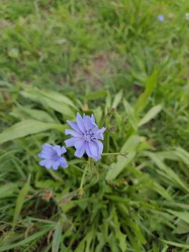
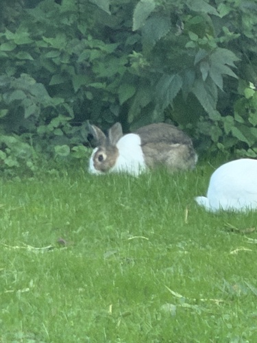
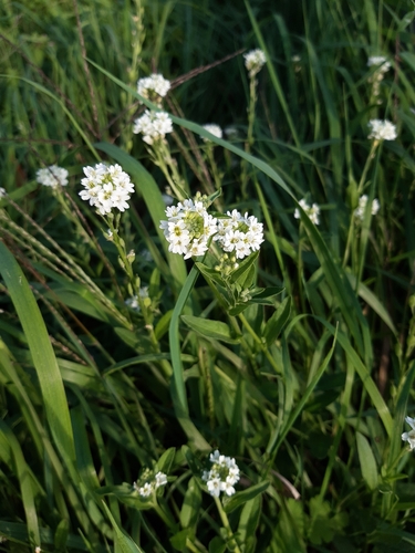
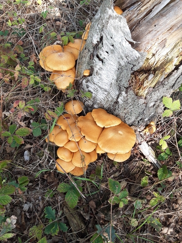
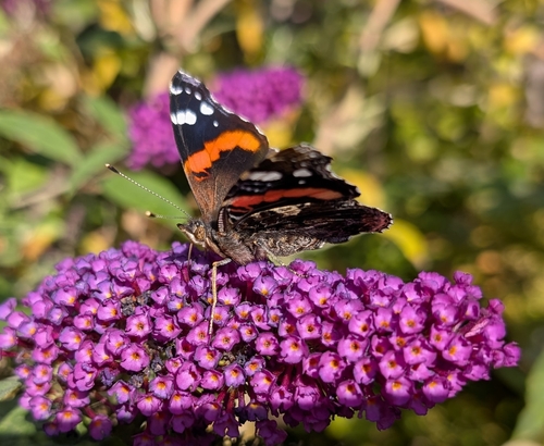
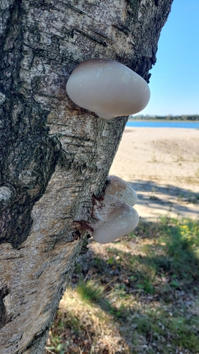
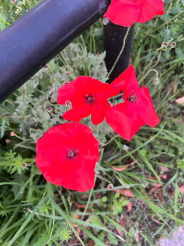
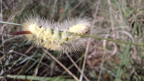
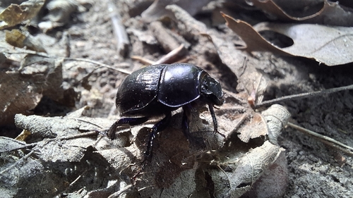
Research-grade observations from iNaturalist (within ~15 mi).
Events
Notable, recurring, and historical events associated with Helmond, sourced from Wikidata.
Source: Wikidata (CC0).
Gallery
Official Identifiers
CBS — Statistics Netherlands
- CBS code
- 0794
- Population (Wikidata)
- 92,627
- Wikidata
- Q9844
Gemeente codes via Wikidata P382
Sources
- • Wikipedia
- • Open-Meteo (ERA5 reanalysis)
- • Wikidata
- • iNaturalist
- • Open-Meteo / sunrise-sunset.org
- • Wikipedia Pageviews API
- • Open Library
- • CBS — Statistics Netherlands, municipality code via Wikidata P382
- • CBS — Statistics Netherlands — Gemeente codes via Wikidata P382