Browse / Netherlands / South Holland / Hendrik-Ido-Ambacht
Hendrik-Ido-Ambacht
South Hollandtown

Hendrik-Ido-Ambacht
Total population
29,730
Demographic figures from CBS Netherlands. Overview below cites Wikipedia and may reference a different year.
City facts
Facts from Wikidata (CC0).
Overview
Hendrik-Ido-Ambacht is a town and municipality in the western Netherlands. It is located on the island of IJsselmonde, and borders with Zwijndrecht, Ridderkerk, and the Noord River.
Read more on WikipediaHistory & geography
History
The area has been populated from circa the year 1000 CE. Agriculture and animal husbandry were the only means of existence for many centuries. During these days, the land would often get flooded. Most of the land belonged to the Bishop of Utrecht during this period, except Heyenland (later known as Heerjansdam), which belong to Lord Hendrick I van Brederode (1305-1345). In 1323 the abbey sold its land to William III of Holland. To combat the floods and utilize the lands more productively, William III and Hendrick van Brederode built up a dike around the land and had it dredged in 1332. To fund this endeavor, they sold parts of the lands to wealthy families (who held high public ranks within other cities) offering lordship titles and land ownership in return (as dictated by Zeelandic Laws concerning land ownership). Among these men were Hendrik Ido Wittens and his brother Schiltman Wittens, sons of the municipal executive of Gorinchem, Hendrik Yens Wittens. They received lordship of small pieces of land around the dead arm of the river Wale. The town Hendrik-Ido-Ambacht was made of a fusion of these two lordships. Over the years it expended by annexation and fusion with other lands of different lords. Not until the Eighty Years' War some industrial activities began to appear along the river dikes, like stonebakery and shipbuilding. Horticulture and flax growing also developed within the polders. Because of the rapid industrial growth in iron foundries and shipyards in nearby villages (which produced lots of scrap waste), several families opened up ship breaking yards which grew into an industry resulting in the town becoming worldwide known as the "ship breaking village". The establishment of industries in the region changed the centuries-old seasonal labour…
Excerpted from the corresponding Wikipedia article (CC BY-SA).
Geography
Coordinates & boundaries from the US Census TIGER/Line shapefiles.
Climate
Air quality
Walkability
Amenities nearby
Wildlife & biodiversity
Earthquake history
Photos
Sights & places nearby
Notable people from here


People born within ~10 km, from Wikidata (CC0). Click any name for their Wikipedia article.
Nearby places in South Holland
- Oostendam0.6 mi away · pop. 605
- Rijsoord1.8 mi away · pop. 2,995
- Zwijndrecht1.9 mi away · pop. 40,635
- Alblasserdam2 mi away · pop. 20,005
- Papendrecht2.6 mi away · pop. 32,295
- Kinderdijk3.1 mi away · pop. 811
- Oud-Alblas3.1 mi away · pop. 2,205
- Nieuw-Lekkerland3.4 mi away · pop. 8,464
- Krimpen aan de Lek3.6 mi away · pop. 6,580
- Puttershoek3.9 mi away · pop. 6,910
- Bolnes4 mi away · pop. 7,740
- Lekkerkerk4.2 mi away · pop. 7,680
Geography & sun
Nearby airports
Public attention
Books about this place
Recent natural events nearby
Ground air-quality sensors
Recently spotted species
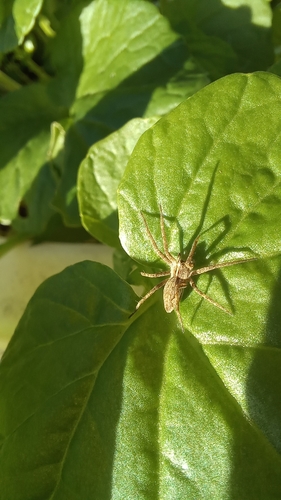
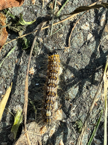
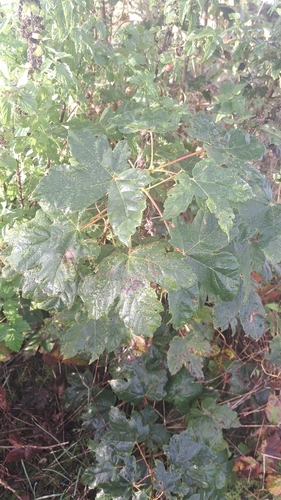
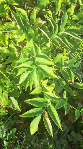
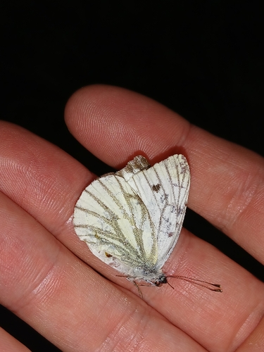
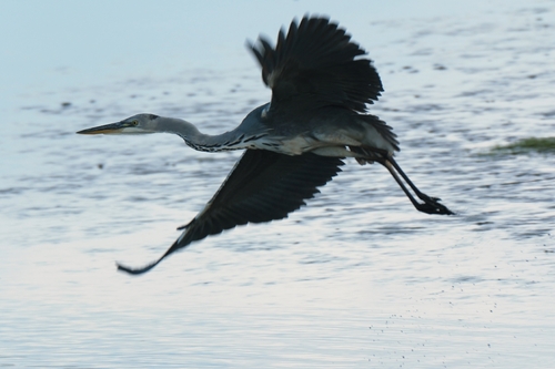
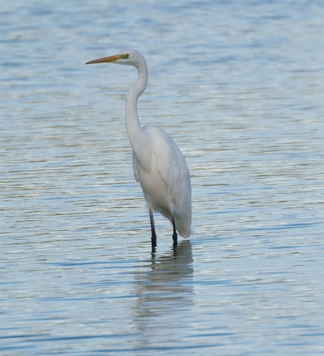
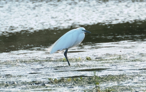
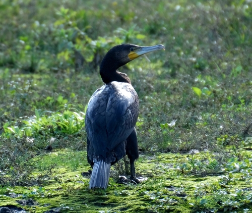
Research-grade observations from iNaturalist (within ~15 mi).
Events
Gallery
Official Identifiers
CBS — Statistics Netherlands
- CBS code
- 0531
- Population (Wikidata)
- 31,258
- Wikidata
- Q538725
Gemeente codes via Wikidata P382
Sources
- • Wikipedia
- • Wikidata
- • iNaturalist
- • CBS — Statistics Netherlands, municipality code via Wikidata P382
- • CBS — Statistics Netherlands — Gemeente codes via Wikidata P382