Browse / Netherlands / Groningen / Hoogezand
Hoogezand
Groningentown

Hoogezand
Total population
22,080
Demographic figures from CBS Netherlands. Overview below cites Wikipedia and may reference a different year.
City facts
Overview
Hoogezand is a town in the municipality of Midden-Groningen, in the province of Groningen in the northeast of the Netherlands.
Read more on WikipediaHistory & geography
History
The name refers to a higher sanded (Hooge Sandt) place in the peatlands cut through when the Winschoterdiep channel was dug. Near this channel in 1618 the town was founded. In the beginning the town was a center of peat briquettes producing. When the peat ran out opened factories for cardboard and plants for potato processing . At the moment Hoogezand is most known for the shipbuilding industry. At the shipyards the vessels are launched sideways, which is uncommon for slipways. In 1821 Hoogezand absorbed former municipality Windeweer. In 1949 Hoogezand and Sappemeer became one city. At the moment Hoogezand-Sappemeer has 34,438 citizens (2005), around 21,000 of them live in Hoogezand. In 2018, the municipality of Hoogezand-Sappemeer merged with the municipalities of Slochteren and Menterwolde to form the new municipality of Midden-Groningen
Excerpted from the corresponding Wikipedia article (CC BY-SA).
Geography
Coordinates & boundaries from the US Census TIGER/Line shapefiles.
Climate
Air quality
Walkability
Amenities nearby
Wildlife & biodiversity
Earthquake history
Photos
Sights & places nearby
Notable people from here


People born within ~10 km, from Wikidata (CC0). Click any name for their Wikipedia article.
Nearby places in Groningen
- Kolham1.3 mi away · pop. 1,330
- Kleinemeer1.4 mi away
- Foxhol1.4 mi away · pop. 945
- Kropswolde1.7 mi away · pop. 1,575
- Froombosch2.4 mi away · pop. 825
- Kiel-Windeweer2.9 mi away · pop. 867
- Westerbroek3.2 mi away · pop. 891
- Tripscompagnie3.4 mi away · pop. 115
- Scharmer3.6 mi away · pop. 459
- Harkstede4.1 mi away · pop. 3,120
- Borgercompagnie4.5 mi away · pop. 470
- Noordlaren4.7 mi away · pop. 542
Geography & sun
Elevation, sunrise/sunset and daylight from Open-Meteo. Solar climatology from NASA POWER.
Nearby airports
Public attention
Pageview totals from the Wikimedia Pageviews API.
Books about Hoogezand
Search results from Open Library.
Recent natural events nearby
Ground air-quality sensors
Recently spotted species

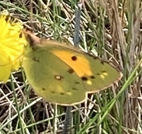
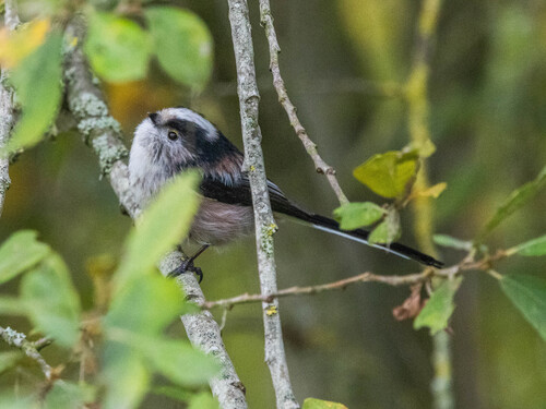
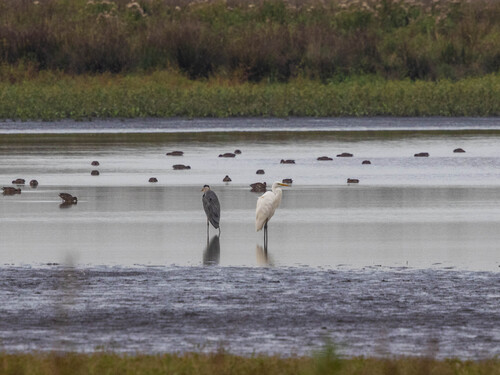
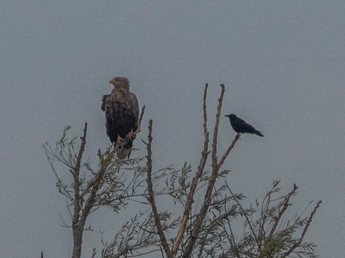
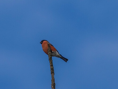
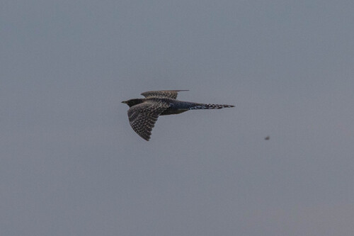
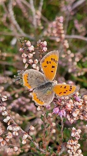
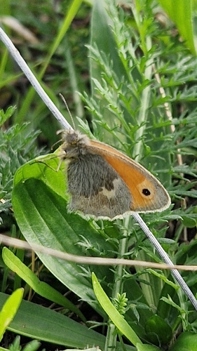
Research-grade observations from iNaturalist (within ~15 mi).
Events
Gallery
Official Identifiers
CBS — Statistics Netherlands
- CBS code
- 1083
- Population (Wikidata)
- 4,577
- Wikidata
- Q35149984
Gemeente codes via Wikidata P382
Sources
- • Wikipedia
- • Wikidata
- • iNaturalist
- • Open-Meteo / sunrise-sunset.org
- • Wikipedia Pageviews API
- • Open Library
- • CBS — Statistics Netherlands, municipality code via Wikidata P382
- • CBS — Statistics Netherlands — Gemeente codes via Wikidata P382