Browse / Netherlands / Friesland / Joure
Joure
Frieslandtown

Joure
Total population
13,090
Demographic figures from CBS Netherlands. Overview below cites Wikipedia and may reference a different year.
City facts
Sister cities
Facts from Wikidata (CC0).
Overview
Joure is a town in the north of the Netherlands. It is the administrative center of De Fryske Marren, Friesland. With 13,090 inhabitants, it is also the most populous town in the municipality.
Read more on WikipediaHistory & geography
History
Joure originated partly on top of a gaast (sand ridge) and a late Medieval dike that ran from the local toll house to Haskerhorne; the later Midstraat was built on the crown of this embankment. In addition to this, Joure also lay on a crossing of waterways next to the former village of Westermeer. In the early fifteenth century, many canals were dug by traders of the Hanseatic League. They were looking for a remote place that could only be reached through canals and by trekschuit, because these places were relatively safe from the feared Northerners. Then the Kolk was also dug, from where a De Overspitting waterway to Heerenveen was dug. During the Great Depression of the twentieth century there was a lot of activity in Joure. The peat that came from the present day lake of Nannewiid, south of Oudehaske, was transported on prams in Joure and was transferred to skûtsjes. This transfer took place at the place where the Oerdracht church now stands. Some street names, such as Eeltsjebaes, Aukebaes and Hettebaes, still recall the shipyards, where new skûtsjes and prams were made, but many repairs were also made. Before World War II, Joure was part of an extensive horse-drawn tram network. Joure was connected with Sneek, Lemmer and Heerenveen. The Stationsstraat is a street name from that era. Before the construction of these rails, roads had to be built of which the Tramwei street is a reminder. Before then, people were used to doing all transport by boat. Joure is traditionally not a city, but also too big to be called a village. According to Old Frisian tradition, such a place is called a vlecke. There are different theories about the origin of the name Joure or De Jouwer. It is often thought that it comes from the Frisian word Hjouwer, which refers to oats. Joure is…
Excerpted from the corresponding Wikipedia article (CC BY-SA).
Geography
Coordinates & boundaries from the US Census TIGER/Line shapefiles.
Climate
Air quality
Walkability
Amenities nearby
Wildlife & biodiversity
Earthquake history
Photos
Sights & places nearby
Notable people from here


People born within ~10 km, from Wikidata (CC0). Click any name for their Wikipedia article.
Nearby places in Friesland
- Haskerhorne1.3 mi away · pop. 565
- Snikzwaag1.5 mi away · pop. 65
- Scharsterbrug1.6 mi away · pop. 830
- Ouwsterhaule1.9 mi away · pop. 355
- Akmarijp2.8 mi away · pop. 110
- Oudehaske3 mi away · pop. 1,980
- Rotsterhaule3.2 mi away · pop. 565
- Sintjohannesga3.2 mi away · pop. 1,280
- Langweer3.3 mi away · pop. 1,105
- Vegelinsoord3.5 mi away · pop. 390
- Sint Nicolaasga3.8 mi away · pop. 3,330
- Haskerdijken3.8 mi away · pop. 403
Geography & sun
Elevation, sunrise/sunset and daylight from Open-Meteo. Solar climatology from NASA POWER.
Nearby airports
Public attention
Pageview totals from the Wikimedia Pageviews API.
Books about this place
Recent natural events nearby
Ground air-quality sensors
Recently spotted species
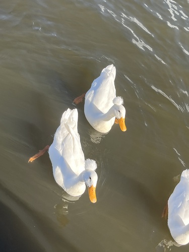
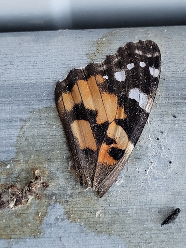
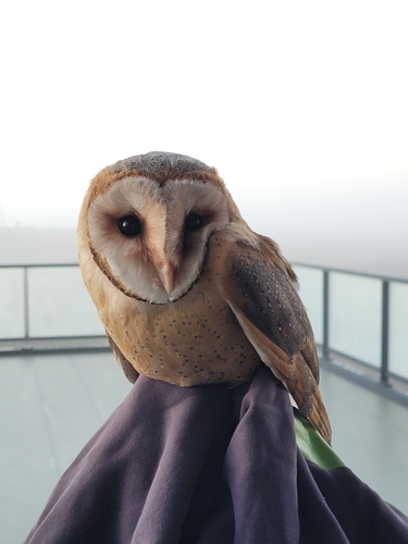
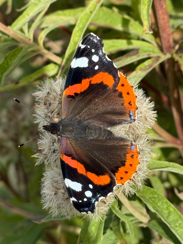
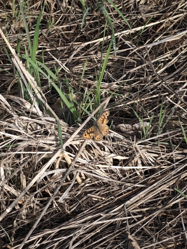
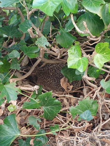
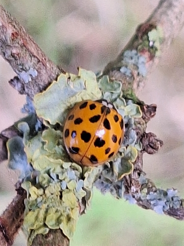
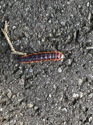
Research-grade observations from iNaturalist (within ~15 mi).
Events
Notable, recurring, and historical events associated with Joure, sourced from Wikidata.
- Friese Ballonfeestenrecurring event
- Q65392404recurring event
Source: Wikidata (CC0).
Gallery
Sources
- • Wikipedia
- • Wikidata
- • iNaturalist
- • Open-Elevation
- • Open-Meteo / sunrise-sunset.org
- • Wikipedia Pageviews API