Browse / Netherlands / North Brabant / Kaatsheuvel
Kaatsheuvel
North Brabanttown

Kaatsheuvel
Total population
16,441
Demographic figures from CBS Netherlands. Overview below cites Wikipedia and may reference a different year.
City facts
Facts from Wikidata (CC0).
Overview
Kaatsheuvel is a town in the province of North Brabant, Netherlands situated along highways N261 and N628. With a population of roughly 16,600, it is the largest town in and the capital of the municipality of Loon op Zand, which also consists of the villages of De Moer and Loon op Zand.
Read more on WikipediaHistory & geography
History
The Netherlands traditionally consisted of seven provinces. The current province of North Brabant, in which Kaatsheuvel is located, used to be a stand-alone Duchy. The Duchy consisted of a large area with the most important cities: Brussels, 's-Hertogenbosch, Antwerp, Breda, Leuven and Maastricht. Under the leadership of the Duke and his counts, these large cities were supplied by the countryside. Although the oldest source speaks of 'Kaatsheuvel' dating from the 14th century, Venloon, the country now known as Loon op Zand, Kaatsheuvel and De Moer was already mentioned in the year 1233. In 1269 "the village of Venloon with its moors, nuts and wild lands" was loaned by Jan I van Brabant to Willem van Horne. This gave Venloon its first landlord and "fiefdom Venloon" was born. In the 14th century there was an economic growth in Heerlijkheid Venloon. The peat soil turned out to be very suitable for peat extraction. Peat was a type of soil that could serve as a fuel to heat houses. The habitable area of Venloon grew further and further, creating different communities. That is also how the Kaatsheuvel community came into being. The main task of the inhabitants was peat stabbing. This meant that the peat soil had to be pulled out of the soil, dried, processed and transported. In the 15th century, most of the peat land was silted up. This ensured that the income from peat extraction was considerably reduced. Many Kaatsheuvel citizens therefore took the initiative to secure their first life needs. They already owned a nice piece of land, so with a small amount of cattle they could provide for their own necessities. Agriculture was fairly primitive, which meant that the agricultural land was used only once. The woody area was also very suitable as a hunting ground, which made…
Excerpted from the corresponding Wikipedia article (CC BY-SA).
Geography
Coordinates & boundaries from the US Census TIGER/Line shapefiles.
Climate
Air quality
Walkability
Amenities nearby
Wildlife & biodiversity
Earthquake history
Photos
Sights & places nearby
Notable people from here


People born within ~10 km, from Wikidata (CC0). Click any name for their Wikipedia article.
Nearby places in North Brabant
- De Moer2.6 mi away · pop. 557
- Loon op Zand2.9 mi away · pop. 6,095
- Elshout5.4 mi away · pop. 1,683
- Oosteind5.7 mi away · pop. 1,254
- Babyloniënbroek5.7 mi away · pop. 438
- Heesbeen6.1 mi away · pop. 185
- Biezenmortel6.8 mi away · pop. 1,420
- Heusden6.8 mi away · pop. 1,325
- Hulten6.9 mi away · pop. 315
- Raamsdonksveer7.2 mi away · pop. 12,535
- Oosterhout7.4 mi away · pop. 49,483
- Geertruidenberg7.8 mi away · pop. 6,880
Geography & sun
Elevation, sunrise/sunset and daylight from Open-Meteo. Solar climatology from NASA POWER.
Nearby airports
Public attention
Pageview totals from the Wikimedia Pageviews API.
Books about this place
Recent natural events nearby
Ground air-quality sensors
Recently spotted species
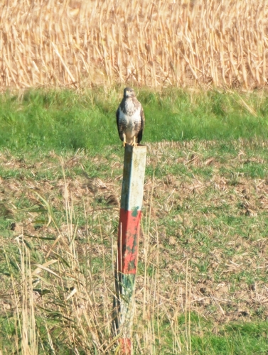
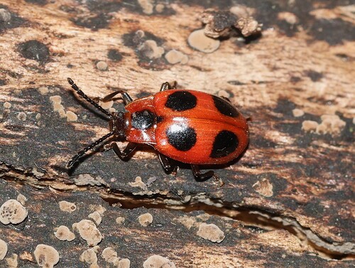
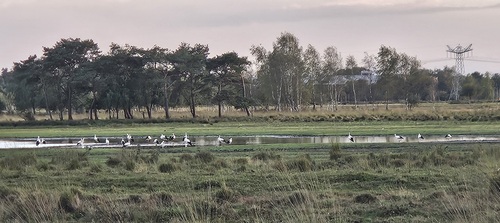
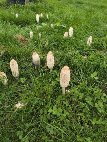
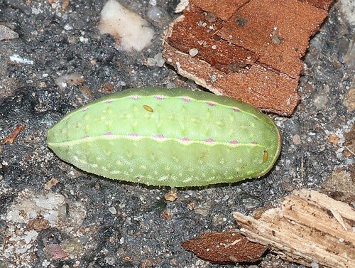
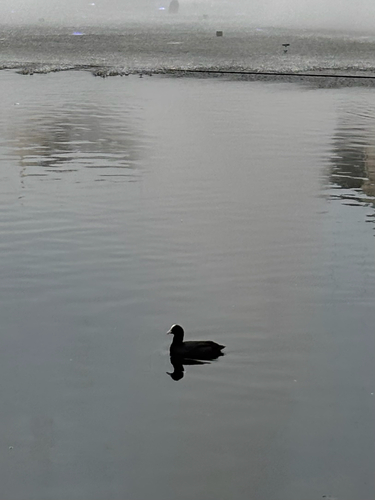
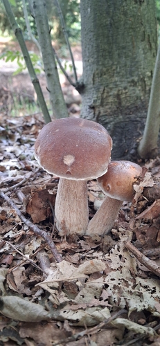
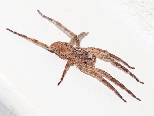
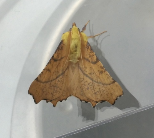
Research-grade observations from iNaturalist (within ~15 mi).
Events
Gallery
Sources
- • Wikipedia
- • Wikidata
- • iNaturalist
- • Open-Meteo / sunrise-sunset.org
- • Wikipedia Pageviews API