Browse / Netherlands / Zeeland / Kloosterzande
Kloosterzande
Zeelandvillage

Kloosterzande
Total population
3,135
Air quality index
Demographic figures from CBS Netherlands. Overview below cites Wikipedia and may reference a different year.
City facts
Facts from Wikidata (CC0).
Overview
Kloosterzande is a village in the Dutch province of Zeeland. It is a part of the municipality of Hulst, and lies about 24 km southwest of Bergen op Zoom.
Read more on WikipediaHistory & geography
History
The village was first mentioned in 1170 "terra que Sand et Grotha appellatur", and is a combination of sand and monastery. Sand refers to former island Werpelant, and monastery refers to an outpost of the Cistercian monastery Ter Duinen. The outpost was named Hof te Zande. In 1520 the chapel of monastery became the parish church. In 1577, the outpost was destroyed by the Geuzen. The area became part of the crown lands of the House of Orange in 1646. The church still contains elements of the 1250 chapel church. The choir was rebuilt between 1609 and 1614. In 1648, it became Dutch Reformed. The church was restored between 1922 and 1924. The Catholic St Martinus Church was built in 1871, and has a needle spire. In 1840, Kloosterzande was home to 226 people, and neighbouring Groenendijk was home to 573 people. During the 20th century, it formed a single urban area with the village of and annexed Groenedijk. Kloosterzande was the capital of the municipality of Hontenisse. In 2002, it was merged into the municipality of Hulst.
Excerpted from the corresponding Wikipedia article (CC BY-SA).
Geography
Coordinates & boundaries from the US Census TIGER/Line shapefiles.
Climate
Air quality
Current readings from Open-Meteo Air Quality API (Copernicus CAMS European reanalysis).
Walkability
Amenities nearby
Wildlife & biodiversity
Most-observed species
- DogwoodCornus sanguinea L. · Magnoliopsida14,084
- Eurasian MagpiePica pica (Linnaeus, 1758) · Aves12,376
- Common BuzzardButeo buteo (Linnaeus, 1758) · Aves12,150
- Eurasian KestrelFalco tinnunculus Linnaeus, 1758 · Aves11,659
- Ring-necked PheasantPhasianus colchicus Linnaeus, 1758 · Aves11,610
- MallardAnas platyrhynchos Linnaeus, 1758 · Aves11,284
- Yellow-legged hornetVespa velutina Lepeletier, 1836 · Insecta10,514
- Common Wood-PigeonColumba palumbus Linnaeus, 1758 · Aves10,441
Citizen-science & research observations from the Global Biodiversity Information Facility (GBIF).
Earthquake history
Most recent
- M 2.8 — 2008-12-201 km WSW of Louvain-la-Neuve, Belgium
- M 2.8 — 2008-09-121 km NNW of Court-Saint-Étienne, Belgium
- M 2.7 — 2008-08-091 km SW of Ottignies, Belgium
- M 2.6 — 2008-08-090 km NW of Ottignies, Belgium
- M 2.5 — 2008-08-081 km SSW of Ottignies, Belgium
- M 3.8 — 2008-07-130 km ESE of Court-Saint-Étienne, Belgium
Events from the USGS Earthquake Catalog (global) (FDSN Event Web Service).
Photos
Sights & places nearby
Notable people from here


People born within ~10 km, from Wikidata (CC0). Click any name for their Wikipedia article.
Geography & sun
Nearby airports
Public attention
Books about this place
Recent natural events nearby
Ground air-quality sensors
Recently spotted species
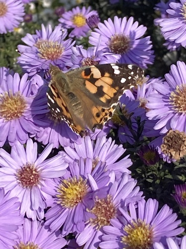
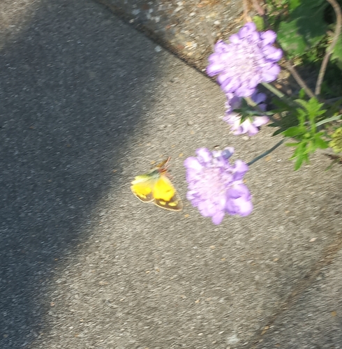
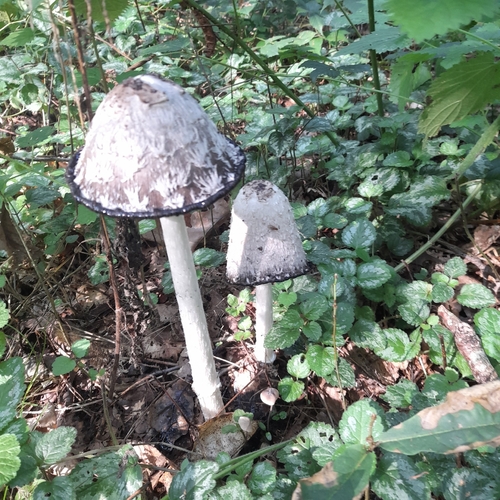
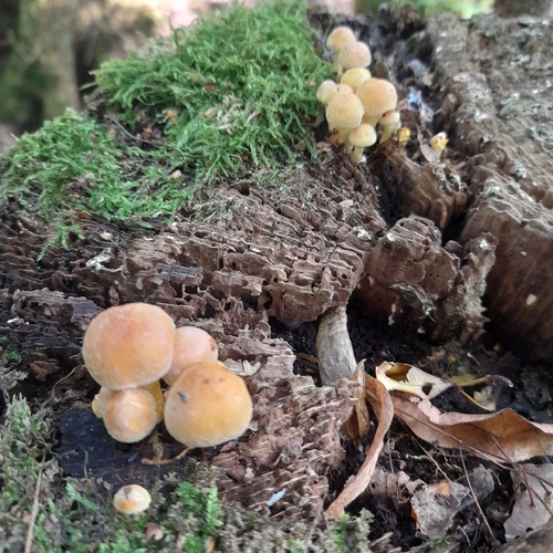
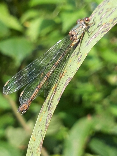
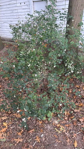
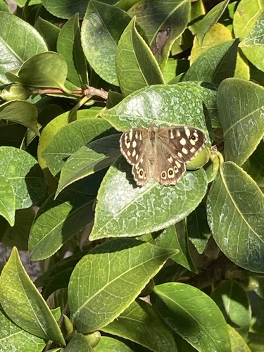
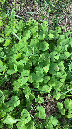
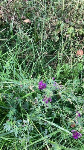
Research-grade observations from iNaturalist (within ~15 mi).
Events
Gallery
Sources
- • Wikipedia
- • Wikidata
- • Open-Meteo Air Quality (CAMS)
- • USGS Earthquake Catalog (global feed)
- • GBIF (Global Biodiversity Information Facility)
- • iNaturalist