Browse / Netherlands / Friesland / Kollum
Kollum
Frieslandtown

Kollum
Total population
5,529
Demographic figures from CBS Netherlands. Overview below cites Wikipedia and may reference a different year.
City facts
Overview
Kollum is a village in Noardeast-Fryslân municipality in the province Friesland, the Netherlands. It had a population of around 5529 in January 2017. There is a restored windmill, Tochmaland in the village.
Read more on WikipediaHistory & geography
History
The village was first mentioned between 822 and 825 as Colleheim, and means settlement of Kolle (person). Kollum originates from the early middle ages. During the 11th and 12th century, the peat was excavated in the region, and a settlement appeared on the Dwarsried, a former river leading to the Wadden Sea. During the 17th and 18th century, Kollum became a centre for trade and shipping. The tower church of the Dutch Reformed dates from the 13th century and was enlarged during the 15th century. In 1661, it was hit by lightning, and a new spire constructed. The nave of the church dates from around 1100. The former courthouse dates from the 16th century. It was in service as courthouse between 1609 tot 1895. The former weigh house dates from 1614 and was extended in 1779. In 1895, it was turned into a residential home. Before 2019, the village was part of the Kollumerland en Nieuwkruisland municipality.
Excerpted from the corresponding Wikipedia article (CC BY-SA).
Geography
Coordinates & boundaries from the US Census TIGER/Line shapefiles.
Climate
Air quality
Walkability
Amenities nearby
Wildlife & biodiversity
Earthquake history
Photos
Sights & places nearby
Notable people from here


People born within ~10 km, from Wikidata (CC0). Click any name for their Wikipedia article.
Nearby places in Friesland
- Aldwâld1.4 mi away · pop. 832
- Feankleaster2 mi away · pop. 97
- Kollumerpomp2.4 mi away · pop. 478
- De Trieme2.5 mi away · pop. 318
- Westergeast2.7 mi away · pop. 621
- Ingwierrum2.9 mi away · pop. 540
- Burum3.4 mi away · pop. 606
- Warfstermolen3.6 mi away · pop. 205
- Gerkesklooster3.7 mi away · pop. 812
- Ie3.9 mi away · pop. 834
- Stroobos3.9 mi away · pop. 332
- Twijzel4.1 mi away · pop. 1,081
Geography & sun
Elevation, sunrise/sunset and daylight from Open-Meteo. Solar climatology from NASA POWER.
Nearby airports
Public attention
Pageview totals from the Wikimedia Pageviews API.
Books about this place
Recent natural events nearby
Ground air-quality sensors
Recently spotted species
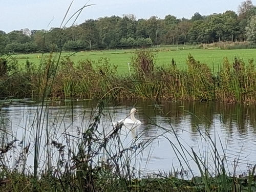
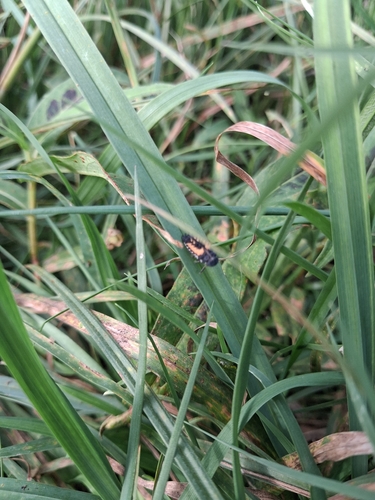
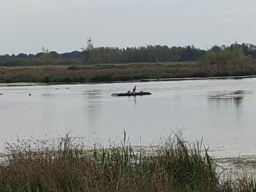
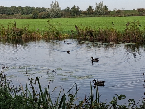
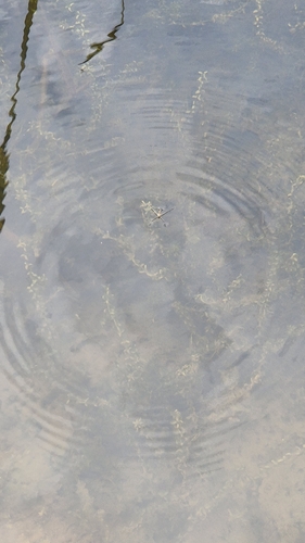
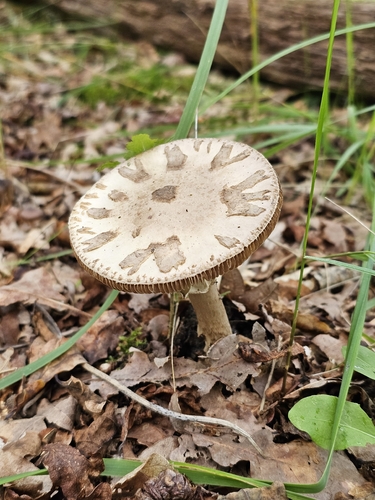
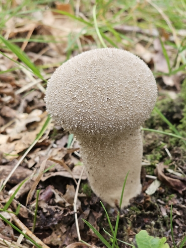
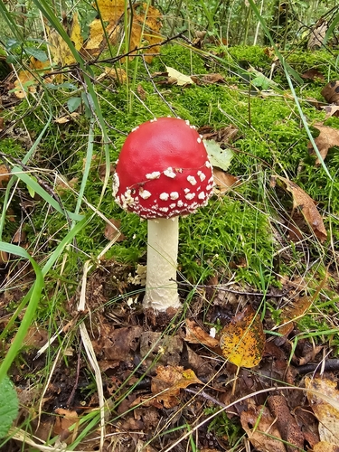
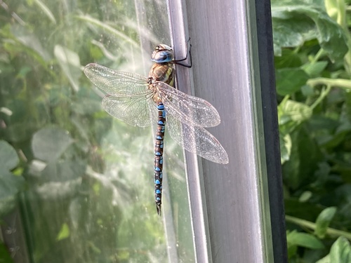
Research-grade observations from iNaturalist (within ~15 mi).
Events
Gallery
Sources
- • Wikipedia
- • Wikidata
- • iNaturalist
- • Open-Meteo / sunrise-sunset.org
- • Wikipedia Pageviews API