Browse / Netherlands / South Holland / Krimpen aan den IJssel
Krimpen aan den IJssel
South Hollandtown

Krimpen aan den IJssel
Total population
29,123
Demographic figures from CBS Netherlands. Overview below cites Wikipedia and may reference a different year.
City facts
Sister cities
Facts from Wikidata (CC0).
Overview
Krimpen aan den IJssel is a town and municipality in the western Netherlands, in the province of South Holland. The municipality had a population of 29,410 in 2021, and covers an area of 8.95 km2 (3.46 sq mi) of which 1.26 km2 (0.49 sq mi) is water.
Read more on WikipediaHistory & geography
History
Krimpen is first mentioned in a document from 1277. Like other hamlets, many different spellings of its name have occurred over time, among which the name Tingenijssel deviated the most from today's spelling. The municipality is on the south shore of the river Hollandse IJssel. For many centuries, the only buildings in Krimpen were farm houses built along the river dike. They formed more or less autonomous communities along the dike. Before the 20th century, the two principal industrial employers were the brick factory Mijnlieff and the shipyard Van der Giessen de Noord. In the beginning of the 20th century development began inland from the river dikes, and the municipality began to lose its agricultural character. During the North Sea flood of 1953, the tidal barrier in the river IJssel proved to be inadequate. So in 1954 construction started on a new storm surge barrier, the first installation of the Delta Works. In 1958 it was completed together with the Algera Bridge which connects Krimpen with Capelle aan den IJssel. In the mid 1960s, Krimpen became a commuter town for people working in Rotterdam, resulting in major expansion. Today most of the municipality has been built up, except for the Krimpenerwaard where the town council aims to retain the rural character.
Excerpted from the corresponding Wikipedia article (CC BY-SA).
Geography
Coordinates & boundaries from the US Census TIGER/Line shapefiles.
Climate
Air quality
Walkability
Amenities nearby
Wildlife & biodiversity
Earthquake history
Photos
Sights & places nearby
Notable people from here


People born within ~10 km, from Wikidata (CC0). Click any name for their Wikipedia article.
Geography & sun
Elevation, sunrise/sunset and daylight from Open-Meteo. Solar climatology from NASA POWER.
Nearby airports
Public attention
Pageview totals from the Wikimedia Pageviews API.
Books about this place
Recent natural events nearby
Ground air-quality sensors
Recently spotted species
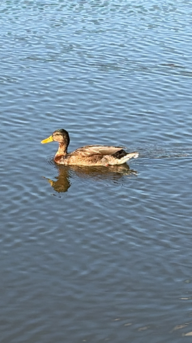
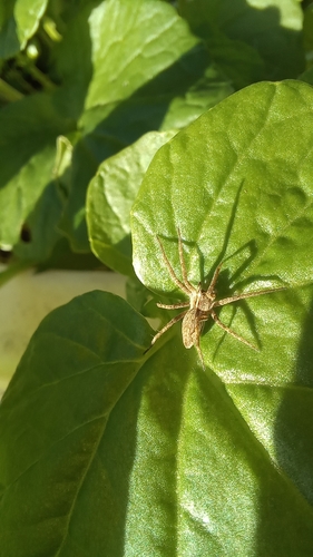
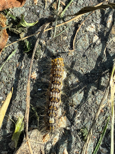
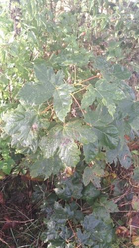
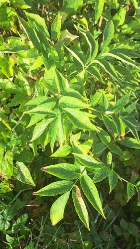
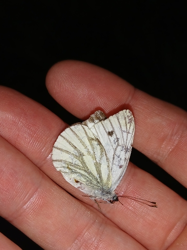
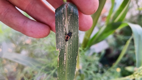

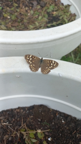
Research-grade observations from iNaturalist (within ~15 mi).
Events
Gallery
Official Identifiers
CBS — Statistics Netherlands
- CBS code
- 0542
- Population (Wikidata)
- 29,410
- Wikidata
- Q739449
Gemeente codes via Wikidata P382
Sources
- • Wikipedia
- • Wikidata
- • iNaturalist
- • Open-Meteo / sunrise-sunset.org
- • Wikipedia Pageviews API
- • CBS — Statistics Netherlands, municipality code via Wikidata P382
- • CBS — Statistics Netherlands — Gemeente codes via Wikidata P382