Browse / Netherlands / South Holland / Leiden
Leiden
South Hollandcity

Leiden
Total population
123,753
Air quality index
Demographic figures from CBS Netherlands. Overview below cites Wikipedia and may reference a different year.
City facts
Facts from Wikidata (CC0).
Overview
Leiden is a city and municipality in the province of South Holland, Netherlands. The municipality of Leiden has a population of 127,046, but the city forms one densely connected agglomeration with its suburbs Oegstgeest, Leiderdorp, Voorschoten and Zoeterwoude with 215,602 inhabitants. The Netherlands Central Bureau of Statistics (CBS) further includes Katwijk in the agglomeration which makes the total population of the Leiden urban agglomeration 282,207. Further, Teylingen, Noordwijk, and Noordwijkerhout are included in the larger Leiden urban area, which has 365,913 inhabitants. Leiden is located on the Oude Rijn, at a distance of some 20 km (12 mi) from The Hague to its south and some 40 km (25 mi) from Amsterdam to its north. The recreational area of the Kaag Lakes (Kagerplassen) lies just to the northeast of Leiden.
Read more on WikipediaHistory & geography
History
Leiden was formed on an artificial hill (today called the Burcht van Leiden) at the confluence of the rivers Oude and Nieuwe Rijn (Old and New Rhine). The settlement was called Leithon. The name is from Germanic *leitha (canal). Leiden has erroneously been associated with the Roman outpost Lugdunum Batavorum. This was thought to be located at the Burcht of Leiden, and the city's name was thought to be derived from the Latin name Lugdunum. However, the castellum was in fact closer to the town of Katwijk, whereas the Roman settlement near Leiden was called Matilo. In 1420, during the Hook and Cod wars, Duke John III of Bavaria along with his army marched from Gouda in the direction of Leiden in order to conquer the city since Leiden did not pay the new Count of Holland Jacqueline, Countess of Hainaut, his niece and only daughter of Count William VI of Holland. Burgrave Filips of Wassenaar and the other local noblemen of the Hook faction assumed that the duke would besiege Leiden first and send small units out to conquer the surrounding citadels. But John of Bavaria chose to attack the citadels first. He rolled the cannons along with his army but one which was too heavy went by ship. By firing at the walls and gates with iron balls the citadels fell one by one. Within a week John of Bavaria conquered the castles of Poelgeest, Ter Does, Hoichmade, de Zijl, ter Waerd, Warmond and de Paddenpoel. On 24 June the army appeared before the walls of Leiden. On 17 August 1420, after a two-month siege, the city surrendered to John of Bavaria. The burgrave Filips of Wassenaar was stripped of his offices and rights and lived out his last years in captivity. Leiden flourished in the 16th and 17th century. At the close of the 15th century, the weaving establishments of Leiden…
Excerpted from the corresponding Wikipedia article (CC BY-SA).
Geography
Coordinates & boundaries from the US Census TIGER/Line shapefiles.
Climate
Air quality
Current readings from Open-Meteo Air Quality API (Copernicus CAMS European reanalysis).
Walkability
Amenities nearby
Wildlife & biodiversity
Most-observed species
- Eurasian CootFulica atra Linnaeus, 1758 · Aves35,257
- MallardAnas platyrhynchos Linnaeus, 1758 · Aves29,770
- Common ChiffchaffPhylloscopus collybita (Vieillot, 1817) · Aves29,651
- Gray/Purple HeronArdea cinerea Linnaeus, 1758 · Aves27,907
- Eurasian BlackbirdTurdus merula Linnaeus, 1758 · Aves27,749
- Common BuzzardButeo buteo (Linnaeus, 1758) · Aves27,679
- Great TitParus major Linnaeus, 1758 · Aves27,535
- Great Crested GrebePodiceps cristatus (Linnaeus, 1758) · Aves26,975
Citizen-science & research observations from the Global Biodiversity Information Facility (GBIF).
Earthquake history
Most recent
- M 2.9 — 2008-10-1119 km WNW of Egmond aan Zee, Netherlands
Events from the USGS Earthquake Catalog (global) (FDSN Event Web Service).
Photos
Sights & places nearby
Notable people from here


People born within ~10 km, from Wikidata (CC0). Click any name for their Wikipedia article.
Nearby places in South Holland
- Oegstgeest1.9 mi away · pop. 23,608
- Zoeterwoude-Rijndijk2 mi away
- Zoeterwoude-Dorp2.6 mi away
- Voorschoten2.9 mi away · pop. 25,315
- Valkenburg3 mi away · pop. 5,567
- Rijnsburg3 mi away · pop. 15,942
- Oud Ade3.9 mi away · pop. 765
- Hoogmade4 mi away · pop. 1,720
- Wassenaar4 mi away · pop. 26,055
- Rijpwetering4.5 mi away · pop. 1,595
- Koudekerk aan den Rijn4.6 mi away · pop. 4,119
- Stompwijk4.6 mi away · pop. 2,315
Geography & sun
Elevation, sunrise/sunset and daylight from Open-Meteo. Solar climatology from NASA POWER.
Nearby airports
Public attention
Pageview totals from the Wikimedia Pageviews API.
Books about Leiden
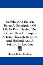
Search results from Open Library.
Recent natural events nearby
Ground air-quality sensors
Recently spotted species
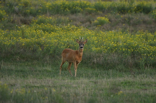
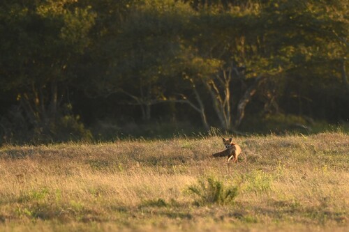
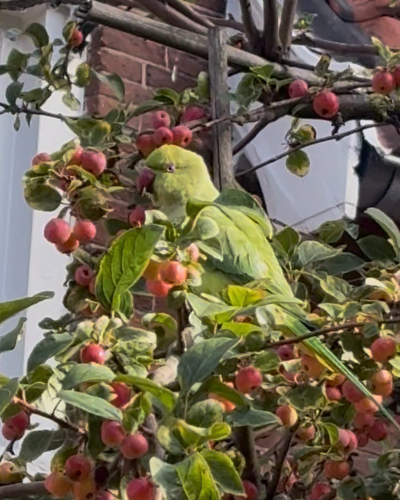
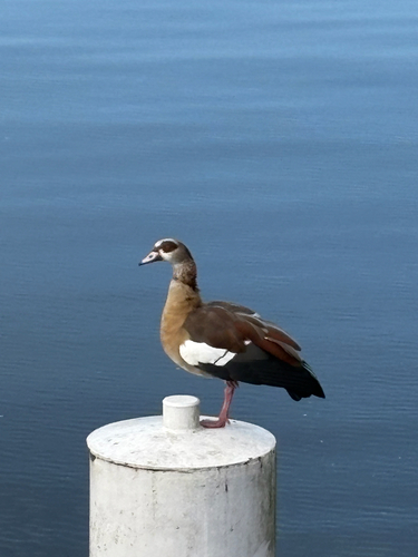
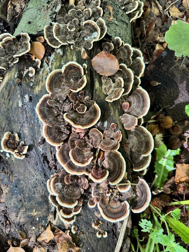
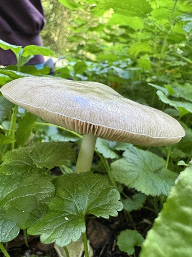
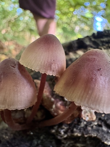
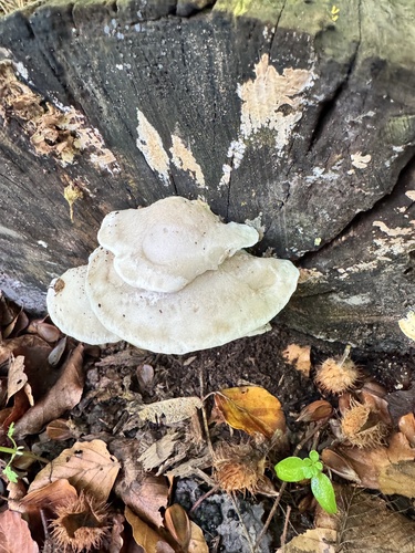
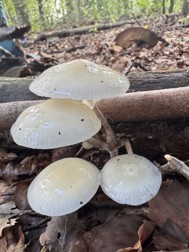
Research-grade observations from iNaturalist (within ~15 mi).
Events
Notable, recurring, and historical events associated with Leiden, sourced from Wikidata.
- Jan 1, 2019
- Q2993948annual event
Source: Wikidata (CC0).
Gallery
Geotagged photos within ~6 miles of Leiden, from Wikimedia Commons contributors.


.jpg)

.jpg)


Photos via Wikimedia Commons — see each image page for license & attribution.
Official Identifiers
CBS — Statistics Netherlands
- CBS code
- 0546
- Population (Wikidata)
- 124,093
- Wikidata
- Q43631
Gemeente codes via Wikidata P382
Sources
- • Wikipedia
- • Wikimedia Commons
- • Wikidata
- • Open-Meteo Air Quality (CAMS)
- • USGS Earthquake Catalog (global feed)
- • GBIF (Global Biodiversity Information Facility)
- • iNaturalist
- • Open-Meteo / sunrise-sunset.org
- • Wikipedia Pageviews API
- • Open Library
- • CBS — Statistics Netherlands, municipality code via Wikidata P382
- • CBS — Statistics Netherlands — Gemeente codes via Wikidata P382