Browse / Netherlands / Gelderland / Lichtenvoorde
Lichtenvoorde
Gelderlandtown

Lichtenvoorde
Total population
12,889
Demographic figures from CBS Netherlands. Overview below cites Wikipedia and may reference a different year.
City facts
Overview
Lichtenvoorde is a town in the east of the Netherlands, in the municipality of Oost Gelre.
Read more on WikipediaHistory & geography
History
Lichtenvoorde was the name of a municipality that included the town and the villages of Lievelde, Zieuwent, Vragender and Harreveld, until 1 January 2005, when all were merged into the municipality of Oost Gelre. Its inhabitants are known colloquially as keienslöppers (boulder draggers) due to a historic event. On 15 March 1874, 99 of the town's shoemakers dragged a 20 ton boulder a distance of around four kilometres to the marketplace to serve as a centerpiece for commemoration of King William III's silver jubilee, after 25 years on the country's throne. The boulder remains there to this day, topped by a stone lion holding the town's coat of arms.
Excerpted from the corresponding Wikipedia article (CC BY-SA).
Geography
Coordinates & boundaries from the US Census TIGER/Line shapefiles.
Climate
Air quality
Walkability
Amenities nearby
Wildlife & biodiversity
Earthquake history
Photos
Sights & places nearby
Notable people from here
Nearby places in Gelderland
- Vragender1.7 mi away · pop. 1,128
- Zieuwent2.4 mi away · pop. 1,995
- Harreveld2.5 mi away · pop. 1,434
- Bredevoort3.7 mi away · pop. 1,419
- Mariënvelde4.5 mi away · pop. 901
- Miste4.8 mi away · pop. 649
- Beltrum5.4 mi away · pop. 2,870
- Meddo6.1 mi away · pop. 1,438
- Westendorp7.3 mi away · pop. 1,145
- Sinderen7.5 mi away · pop. 953
- Woold7.5 mi away · pop. 882
- De Heurne7.7 mi away · pop. 343
Geography & sun
Elevation, sunrise/sunset and daylight from Open-Meteo. Solar climatology from NASA POWER.
Nearby airports
Public attention
Pageview totals from the Wikimedia Pageviews API.
Books about this place
Recent natural events nearby
Ground air-quality sensors
Recently spotted species
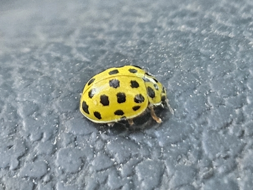
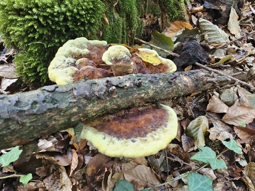
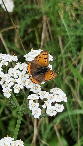
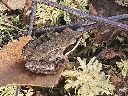
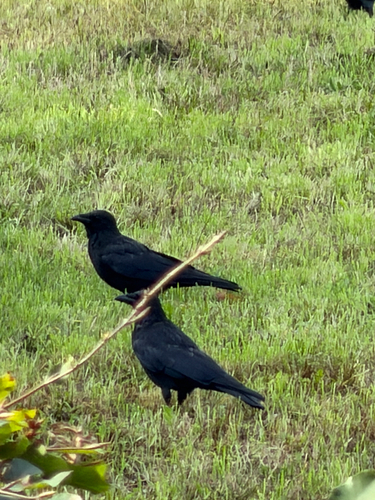
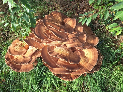
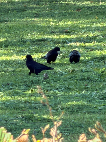
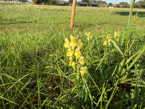
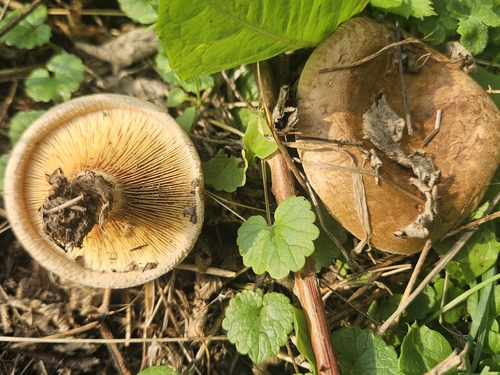
Research-grade observations from iNaturalist (within ~15 mi).
Events
Gallery
Official Identifiers
CBS — Statistics Netherlands
- CBS code
- 0260
- Population (Wikidata)
- 3,067
- Wikidata
- Q684984
Gemeente codes via Wikidata P382
Sources
- • Wikipedia
- • iNaturalist
- • Open-Meteo / sunrise-sunset.org
- • Wikipedia Pageviews API
- • CBS — Statistics Netherlands, municipality code via Wikidata P382
- • CBS — Statistics Netherlands — Gemeente codes via Wikidata P382