Browse / Netherlands / North Brabant / Lieshout
Lieshout
North Brabantvillage

Lieshout
Total population
4,205
Demographic figures from CBS Netherlands. Overview below cites Wikipedia and may reference a different year.
City facts
Overview
Lieshout is a village located in the province of North Brabant in the south of the Netherlands, about 15 kilometres northeast of Eindhoven. There are 4,300 inhabitants, and the village is known for its brewing company Swinkels Family Brewers. The spoken language is Peellands.
Read more on WikipediaHistory & geography
History
The present village was established in the 8th century as a Frankish allodium. At the end of the 12th century the lord of Lieshout donated the allodium to the Floreffe Abbey. In 1698 the abbey sold most of their property in Lieshout to the farmers. The remaining land and buildings and the manorial rights were sold in 1714 to a noble family from Holland. This family sold the manorial rights in 1842 to a textile manufacturer from Helmond. With the revision of the Dutch Constitution in 1848 the feudal system was abolished in the Netherlands, whereby Lieshout lost its manorial status. In 1851 the "municipality of Lieshout" was established. Improved accessibility of Lieshout at the end of the 19th century led to the rise and flourishing of industrial activities, including the Bavaria Brewery. In 1997 the independence of Lieshout came to an end when the village became part of the new municipality of Laarbeek.
Excerpted from the corresponding Wikipedia article (CC BY-SA).
Geography
Coordinates & boundaries from the US Census TIGER/Line shapefiles.
Climate
Air quality
Walkability
Amenities nearby
Wildlife & biodiversity
Earthquake history
Photos
Sights & places nearby
Notable people from here


People born within ~10 km, from Wikidata (CC0). Click any name for their Wikipedia article.
Nearby places in North Brabant
- Mariahout1.9 mi away · pop. 1,930
- Gerwen2.4 mi away · pop. 2,080
- Boerdonk3.2 mi away · pop. 750
- Nederwetten3.5 mi away · pop. 850
- De Mortel5.1 mi away · pop. 1,575
- Zijtaart5.7 mi away · pop. 1,595
- Handel6.6 mi away · pop. 1,814
- Eerde7.2 mi away · pop. 1,375
- Eindhoven7.4 mi away · pop. 235,923
- Boskant7.7 mi away · pop. 1,560
- Milheeze8 mi away · pop. 2,173
- Mariaheide8.1 mi away · pop. 1,485
Geography & sun
Elevation, sunrise/sunset and daylight from Open-Meteo. Solar climatology from NASA POWER.
Nearby airports
Public attention
Pageview totals from the Wikimedia Pageviews API.
Books about this place
Recent natural events nearby
Ground air-quality sensors
Recently spotted species
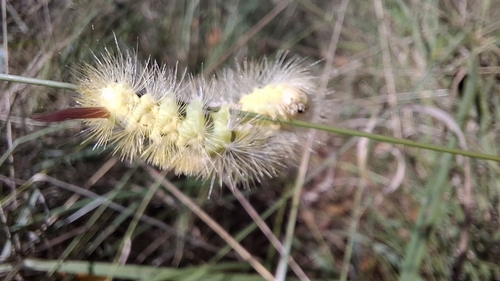
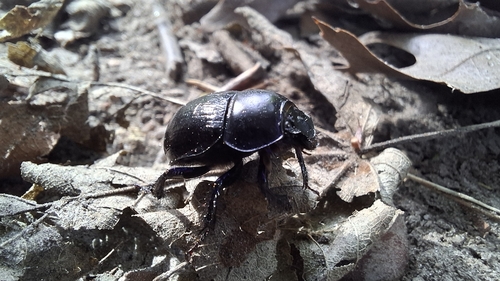
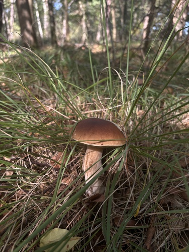
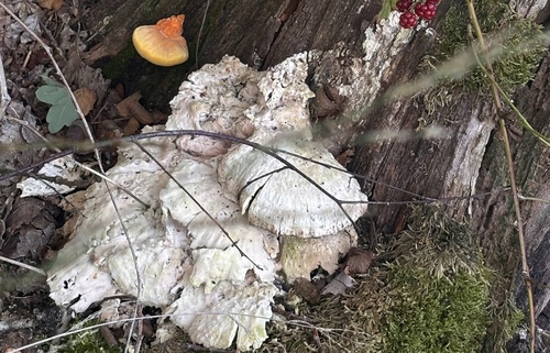
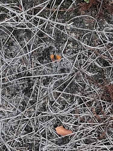
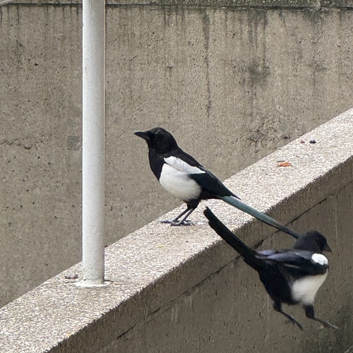
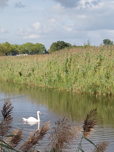
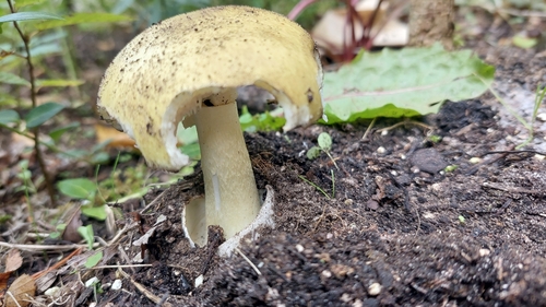
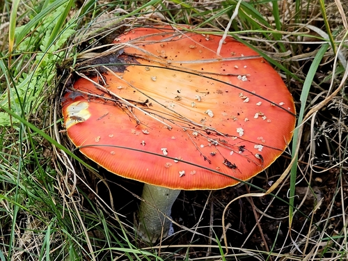
Research-grade observations from iNaturalist (within ~15 mi).
Events
Gallery
Official Identifiers
CBS — Statistics Netherlands
- CBS code
- 0807
- Population (Wikidata)
- 950
- Wikidata
- Q44096604
Gemeente codes via Wikidata P382
Sources
- • Wikipedia
- • Wikidata
- • iNaturalist
- • Open-Meteo / sunrise-sunset.org
- • Wikipedia Pageviews API
- • CBS — Statistics Netherlands, municipality code via Wikidata P382
- • CBS — Statistics Netherlands — Gemeente codes via Wikidata P382