Browse / Netherlands / Drenthe / Meppel
Meppel
Drenthetown

Meppel
Total population
28,955
Demographic figures from CBS Netherlands. Overview below cites Wikipedia and may reference a different year.
City facts
Facts from Wikidata (CC0).
Overview
Meppel is a city and municipality in the Northeastern Netherlands. It constitutes the southwestern part of the province of Drenthe. Meppel is the smallest municipality in Drenthe, with a total area of about 57 km2 (22 sq mi). As of 1 July 2021, it had a population of 34,506 with over 30,000 inhabitants within city limits.
Read more on WikipediaHistory & geography
History
Meppel flourished in the 16th century as an inland harbour for peat transport and distribution. It was an important transit port thanks to its connection to the Drentsche Hoofdvaart and Hoogeveense Vaart canals on one side and the Meppelerdiep canal on the other. The Zuiderzee could be reached via the Meppelerdiep canal at Zwartsluis. Peat was exported from all over Drenthe to the west of the country along this route. Now only one waterway remains in the town. In the 17th and 18th centuries, many bargemen settled in the town, which had received city rights from the bailiff of Drenthe in 1644 and now had more than a thousand inhabitants. In 1809, Meppel was again granted city rights by Louis Napoleon. On 5 November 1815, Meppel received its own city regulations from King William I. Partly because of the canal names Heerengracht, Keizersgracht, and Prinsengracht, the city is sometimes called the Mokum of the North (even if the name is more used for Winschoten). Meppel is also compared to Amsterdam for other reasons. For example, there were centuries of ties between the two cities, and the Jewish community was well represented in Meppel before the Second World War. In the twentieth century, several canals that ran straight through the city center were filled in. Several drawbridges were also replaced by fixed bridges. Since then, it has become impossible to sail through Meppel into Drenthe, partly due to the narrowing of the Hoogeveense Vaart in 2005 near the Oosterboer. On 1 October 1867, Meppel railway station opened to service, drastically improving connectivity in the region. On 1 January 1998, the municipality of Nijeveen, northwest of Meppel, was merged with that of Meppel, retaining the latter name. During World War II, almost all of Meppel's Jewish…
Geography
Meppel is located at in the southwestern part of the province of Drenthe in the northeastern part of the Netherlands. The Meppelerdiep, the Drentsche Hoofdvaart and the Hoogeveense Vaart connect Meppel to Zwartsluis, Assen and Hoogeveen. To offload professional transport vessels the Omgelegde Hoogeveense Vaart was dug out south of the city. The Meppelerdiep is accessible for boats with a size of 2,000 ton. The streams Reest and Wold Aa run through the city. The Reest end in the Meppeler Diep. The population centres in the municipality are: * Nijeveen * Nijentap * Havelterberg (part) * Broekhuizen * Rogat * De Schiphorst
Excerpted from the corresponding Wikipedia article (CC BY-SA).
Geography
Coordinates & boundaries from the US Census TIGER/Line shapefiles.
Climate
Air quality
Walkability
Amenities nearby
Wildlife & biodiversity
Most-observed species
- White StorkCiconia ciconia (Linnaeus, 1758) · Aves14,247
- Common BuzzardButeo buteo (Linnaeus, 1758) · Aves11,658
- Common ChaffinchFringilla coelebs Linnaeus, 1758 · Aves10,592
- Great TitParus major Linnaeus, 1758 · Aves10,096
- Common ChiffchaffPhylloscopus collybita (Vieillot, 1817) · Aves9,174
- Eurasian Blue TitCyanistes caeruleus (Linnaeus, 1758) · Aves8,697
- Great EgretArdea alba Linnaeus, 1758 · Aves8,533
- Eurasian BlackbirdTurdus merula Linnaeus, 1758 · Aves8,167
Citizen-science & research observations from the Global Biodiversity Information Facility (GBIF).
Earthquake history
Most recent
- M 3.8 — 2025-11-140 km ESE of Uithuizen, Netherlands
- M 2.7 — 2022-09-243 km SSW of Spijk, Netherlands
- M 3.2 — 2019-05-221 km E of Warffum, Netherlands
- M 3.4 — 2013-02-071 km NE of Usquert, Netherlands
- M 3.4 — 2012-08-161 km NNE of Loppersum, Netherlands
- M 3.3 — 2008-10-302 km SSW of Usquert, Netherlands
Events from the USGS Earthquake Catalog (global) (FDSN Event Web Service).
Photos
Sights & places nearby
Notable people from here


People born within ~10 km, from Wikidata (CC0). Click any name for their Wikipedia article.
Nearby places in Drenthe
- Kolderveen2.7 mi away · pop. 225
- Ruinerwold2.8 mi away · pop. 2,940
- Rogat2.9 mi away · pop. 115
- Nijeveen3 mi away · pop. 3,525
- De Wijk4.1 mi away · pop. 2,815
- Oosteinde4.8 mi away · pop. 815
- Koekange5.1 mi away · pop. 2,315
- Havelterberg5.6 mi away · pop. 190
- Darp5.6 mi away · pop. 605
- Havelte5.6 mi away · pop. 3,695
- Veeningen7.4 mi away · pop. 640
- Uffelte7.6 mi away · pop. 1,385
Geography & sun
Elevation, sunrise/sunset and daylight from Open-Meteo. Solar climatology from NASA POWER.
Nearby airports
Public attention
Pageview totals from the Wikimedia Pageviews API.
Books about Meppel

Search results from Open Library.
Recent natural events nearby
Ground air-quality sensors
Recently spotted species
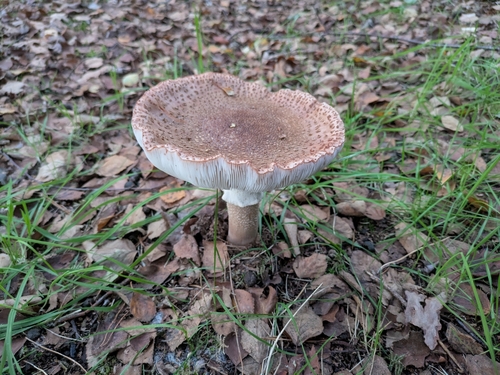
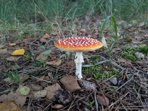
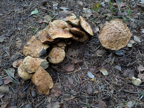
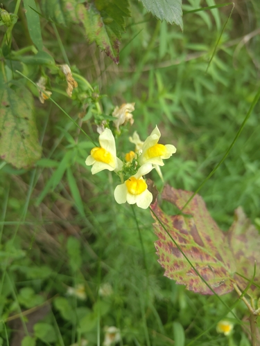
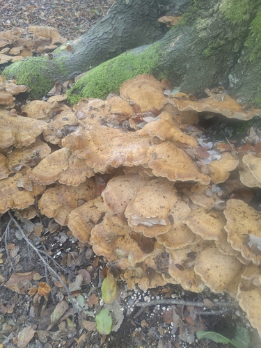
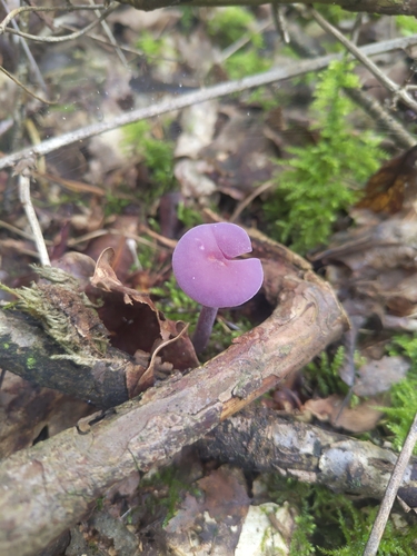
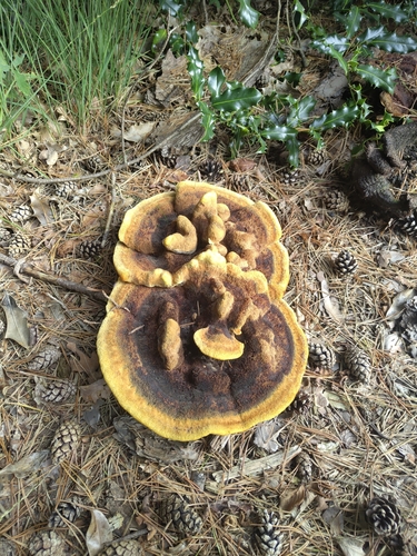
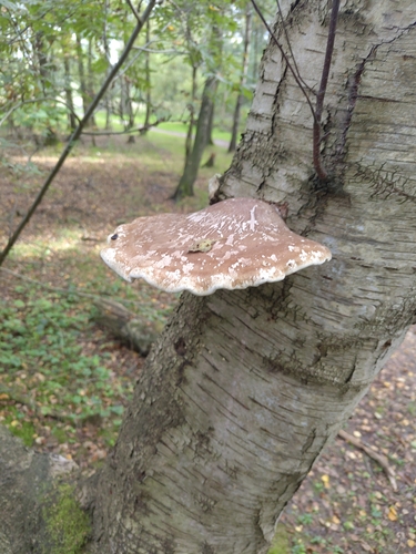
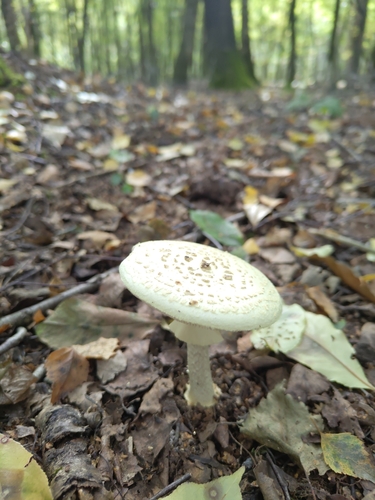
Research-grade observations from iNaturalist (within ~15 mi).
Events
Gallery
Official Identifiers
CBS — Statistics Netherlands
- CBS code
- 0119
- Population (Wikidata)
- 34,386
- Wikidata
- Q60425
Gemeente codes via Wikidata P382
Sources
- • Wikipedia
- • Wikidata
- • USGS Earthquake Catalog (global feed)
- • GBIF (Global Biodiversity Information Facility)
- • iNaturalist
- • Open-Meteo / sunrise-sunset.org
- • Wikipedia Pageviews API
- • Open Library
- • CBS — Statistics Netherlands, municipality code via Wikidata P382
- • CBS — Statistics Netherlands — Gemeente codes via Wikidata P382