Browse / Netherlands / South Holland / Middelharnis
Middelharnis
South Hollandtown

Middelharnis
Total population
7,755
Demographic figures from CBS Netherlands. Overview below cites Wikipedia and may reference a different year.
City facts
Facts from Wikidata (CC0).
Overview
Middelharnis is a town and former municipality in the western Netherlands, in the province of South Holland, on the island of Goeree-Overflakkee. The town had a population of about 6,800 in 2012. On 1 January 2013, Middelharnis merged with Goedereede, Dirksland, and Oostflakkee into the new municipality of Goeree-Overflakkee.
Read more on WikipediaHistory & geography
History
The village was first mentioned in 1466 as "die Middelharnisse". The etymology is disputed. Middelharnis developed after a dike was built around the Oudeland polder in 1465. In 1598, a fish auction was built in Middelharnis and it developed into a regional centre. The Dutch Reformed church is a double aisled cruciform church from the 15th century. The tower was built in stages from 1475 until 1520. The church was devastated by fire in 1904 and later restored. Middelharnis has a shopping area called D'n Diek. This shopping center settled itself on a dike which used to be the last barrier for the town from the Haringvliet. The town hosts two public and one Christian high school. Middelharnis has an inland harbor with connection to the Haringvliet. There is also a small beach which can get very crowded in the summertime. In Middelharnis the old main street has the old municipality building.
Excerpted from the corresponding Wikipedia article (CC BY-SA).
Geography
Coordinates & boundaries from the US Census TIGER/Line shapefiles.
Climate
Air quality
Walkability
Amenities nearby
Wildlife & biodiversity
Earthquake history
Photos
Sights & places nearby
Notable people from here


People born within ~10 km, from Wikidata (CC0). Click any name for their Wikipedia article.
Nearby places in South Holland
- Sommelsdijk0.6 mi away · pop. 7,195
- Nieuwe-Tonge3 mi away · pop. 2,410
- Stad aan 't Haringvliet3.5 mi away · pop. 1,284
- Melissant4.3 mi away · pop. 2,210
- Herkingen4.7 mi away · pop. 1,265
- Oudenhoorn5 mi away · pop. 1,290
- Oude-Tonge5 mi away · pop. 4,771
- Hellevoetsluis5.4 mi away · pop. 38,722
- Goudswaard5.5 mi away · pop. 1,985
- Den Bommel5.7 mi away · pop. 1,685
- Zuidland5.9 mi away · pop. 5,288
- Achthuizen6.9 mi away · pop. 1,123
Geography & sun
Elevation, sunrise/sunset and daylight from Open-Meteo. Solar climatology from NASA POWER.
Nearby airports
Public attention
Pageview totals from the Wikimedia Pageviews API.
Books about this place
Recent natural events nearby
Ground air-quality sensors
Recently spotted species
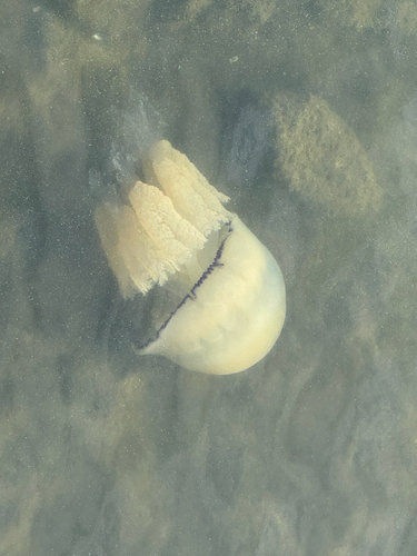
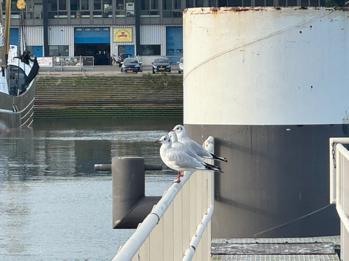
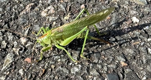
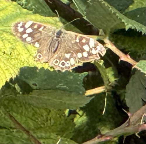
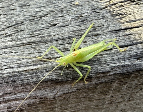
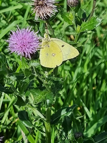
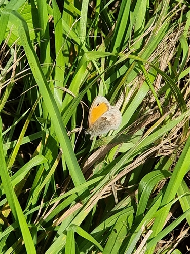
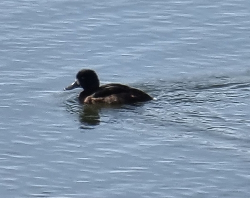

Research-grade observations from iNaturalist (within ~15 mi).
Events
Gallery
Official Identifiers
CBS — Statistics Netherlands
- CBS code
- 0559
- Population (Wikidata)
- 18,050
- Wikidata
- Q36361072
Gemeente codes via Wikidata P382
Sources
- • Wikipedia
- • Wikidata
- • iNaturalist
- • Open-Meteo / sunrise-sunset.org
- • Wikipedia Pageviews API
- • CBS — Statistics Netherlands, municipality code via Wikidata P382
- • CBS — Statistics Netherlands — Gemeente codes via Wikidata P382