Browse / Netherlands / North Brabant / Mierlo
Mierlo
North Brabanttown

Mierlo
Total population
10,493
Demographic figures from CBS Netherlands. Overview below cites Wikipedia and may reference a different year.
City facts
Facts from Wikidata (CC0).
Overview
Mierlo is a village in the southern Netherlands, in the municipality of Geldrop-Mierlo, North Brabant. Until 2004, it was a separate municipality with an area of 18.09 km2 (7 sq mi).
Read more on WikipediaHistory & geography
History
The oldest inhabitants of the area that we have any knowledge of were the reindeer hunters. In 1961, a piece of sandstone, dated at around 9,000B.C. was discovered on the heath between Mierlo and Geldrop. On this stone a half-naked dancing female figure was etched, which is now known as the 'Venus of Mierlo.' It is the oldest artistic expression ever found in the Netherlands. The village was first mentioned in 1245 as Henricus de Mirle, and is a combination of the words for moorland and open forest. Mierlo developed in the 12th century near a castle. The castle was rebuilt in 1210 after it was destroyed, and collapsed in a storm in 1800. The Catholic St. Lucia Church was built between 1856 and 1858. Part of the tower of the medieval church was incorporated in the new church. Mierlo was home to 466 people in 1840. Mierlo was an independent municipality. In 1968, the village Mierlo-Hout was transferred to Helmond. In 2003 when it was merged into Geldrop-Mierlo. In 2004, Mierlo acquired a zoo named 'Eindhoven Zoo' near the Gulbergen. This zoo initially began under the name 'Dierenrijk Europa,' featuring animals ranging from polar bears to apes from Gibraltar, as well as beavers that had been reintroduced in the Netherlands. When non-European animals, such as elephants and camels, were also introduced, the name was changed to 'Dierenrijk' and later 'Eindhoven Zoo'.
Excerpted from the corresponding Wikipedia article (CC BY-SA).
Geography
Coordinates & boundaries from the US Census TIGER/Line shapefiles.
Climate
Air quality
Walkability
Amenities nearby
Wildlife & biodiversity
Most-observed species
- Common BuzzardButeo buteo (Linnaeus, 1758) · Aves21,155
- Common ChaffinchFringilla coelebs Linnaeus, 1758 · Aves18,152
- European StonechatSaxicola rubicola (Linnaeus, 1766) · Aves17,692
- MallardAnas platyrhynchos Linnaeus, 1758 · Aves15,536
- Great TitParus major Linnaeus, 1758 · Aves15,478
- Common ChiffchaffPhylloscopus collybita (Vieillot, 1817) · Aves15,240
- Common Wood-PigeonColumba palumbus Linnaeus, 1758 · Aves14,937
- Carrion CrowCorvus corone Linnaeus, 1758 · Aves14,551
Citizen-science & research observations from the Global Biodiversity Information Facility (GBIF).
Earthquake history
Most recent
- M 2.5 — 2021-01-025 km ENE of Eynatten, Belgium
- M 2.9 — 2018-05-251 km S of Reppel, Belgium
- M 2.9 — 2013-01-200 km WNW of Brachterbeek, Netherlands
- M 4.2 — 2011-09-083 km ENE of Heijen, Netherlands
- M 4.1 — 2009-07-242 km NW of Kamp-Lintfort, Germany
- M 3.2 — 2008-12-256 km ESE of Rheinberg, Germany
Events from the USGS Earthquake Catalog (global) (FDSN Event Web Service).
Photos
Sights & places nearby
Notable people from here
Nearby places in North Brabant
- Gerwen3.9 mi away · pop. 2,080
- Nederwetten5.3 mi away · pop. 850
- Ommel5.8 mi away · pop. 1,079
- Eindhoven6 mi away · pop. 235,923
- Sterksel6.4 mi away · pop. 1,540
- Mariahout7 mi away · pop. 1,930
- Someren-Heide7.3 mi away · pop. 1,380
- Heusden7.5 mi away · pop. 2,421
- De Mortel7.7 mi away · pop. 1,575
- Deurne7.7 mi away · pop. 24,690
- Milheeze8 mi away · pop. 2,173
- Boerdonk8 mi away · pop. 750
Geography & sun
Elevation, sunrise/sunset and daylight from Open-Meteo. Solar climatology from NASA POWER.
Nearby airports
Public attention
Pageview totals from the Wikimedia Pageviews API.
Books about Mierlo
Search results from Open Library.
Recent natural events nearby
Ground air-quality sensors
Recently spotted species
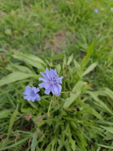
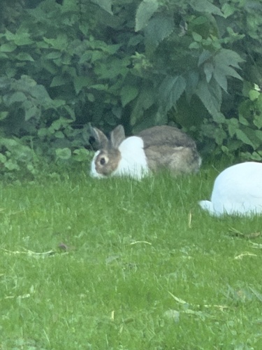
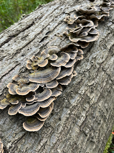
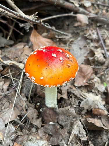
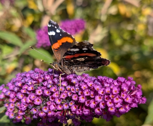
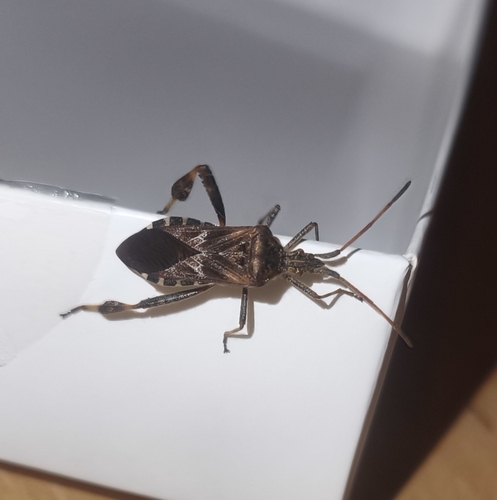
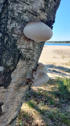
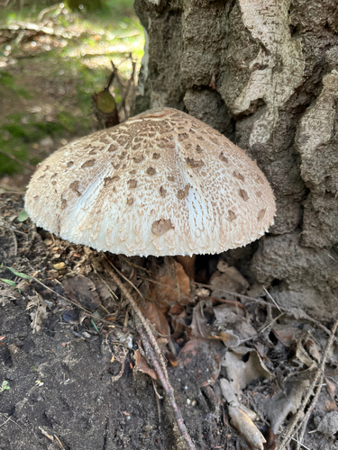
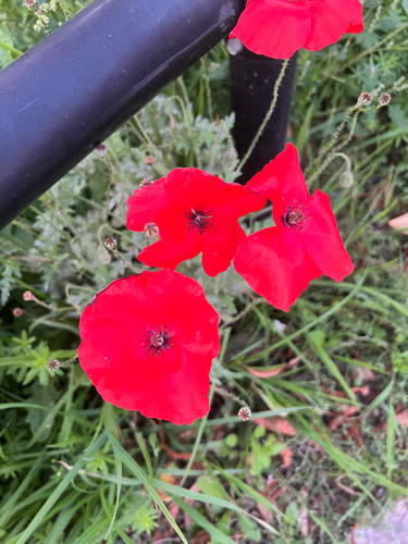
Research-grade observations from iNaturalist (within ~15 mi).
Events
Gallery
Official Identifiers
CBS — Statistics Netherlands
- CBS code
- 0814
- Population (Wikidata)
- 1,697
- Wikidata
- Q35156662
Gemeente codes via Wikidata P382
Sources
- • Wikipedia
- • Wikidata
- • USGS Earthquake Catalog (global feed)
- • GBIF (Global Biodiversity Information Facility)
- • iNaturalist
- • Open-Meteo / sunrise-sunset.org
- • Wikipedia Pageviews API
- • Open Library
- • CBS — Statistics Netherlands, municipality code via Wikidata P382
- • CBS — Statistics Netherlands — Gemeente codes via Wikidata P382