Browse / Netherlands / North Holland / Muiden
Muiden
North Hollandvillage

Muiden
Total population
4,580
Demographic figures from CBS Netherlands. Overview below cites Wikipedia and may reference a different year.
City facts
Facts from Wikidata (CC0).
Overview
Muiden is a city and former municipality in the Netherlands, in the province of North Holland. It lies at the mouth of the Vecht and is in an area called the Vechtstreek. Since 2016, Muiden has been part of the new municipality of Gooise Meren.
Read more on WikipediaHistory & geography
History
The first known reference to Muiden is from 953 when Otto I, Holy Roman Emperor, granted the settlement and its toll rights to the Cathedral of Saint Martin, Utrecht. It was called Amuda, meaning "mouth of the (river) A". "A" was the old name for the Vecht river. In 1122 Muiden was, together with Utrecht, granted some city rights by Emperor Henry V. After the lands around Muiden were given to Count Floris V, he began building Muider Castle at the mouth of the Vecht river. Muiden once again received city rights in 1296. The first defensive works date from the first half of the 15th century. In 1590 the walls were replaced with earthen mounds with bastions after a design by Adriaen Anthonisz. Muiden was the northern end of the Dutch Water Line. In 1673 the sea lock in the Vecht river was relocated from Fort Hinderdam to Muiden and in 1676 it was expanded with a sea wall along the Vecht mouth to prevent flooding. Developments in warfare during the Franco-Prussian War of 1870 prompted modernisation, with the construction of forts, part of the Stelling van Amsterdam, which included the Muizenfort, the barracks on the Vestingplein, and the casemates in the ravelins. The layout of the fortification wall was revised. Fort Pampus Island, part of the former municipality of Muiden, was built from 1887 to 1897. Together with the lighthouse island near Durgerdam and the artillery battery at the Diemer seawall, it was meant to protect the entrance of the IJ Bay and the harbour of Amsterdam.
Geography
The former municipality of Muiden had two population centers: Muiden and Muiderberg.
Excerpted from the corresponding Wikipedia article (CC BY-SA).
Geography
Coordinates & boundaries from the US Census TIGER/Line shapefiles.
Climate
Air quality
Walkability
Amenities nearby
Wildlife & biodiversity
Most-observed species
- Eurasian CootFulica atra Linnaeus, 1758 · Aves50,832
- Eurasian MagpiePica pica (Linnaeus, 1758) · Aves50,334
- MallardAnas platyrhynchos Linnaeus, 1758 · Aves47,179
- Gray/Purple HeronArdea cinerea Linnaeus, 1758 · Aves46,196
- Carrion CrowCorvus corone Linnaeus, 1758 · Aves42,982
- Eurasian BlackbirdTurdus merula Linnaeus, 1758 · Aves42,126
- Common BuzzardButeo buteo (Linnaeus, 1758) · Aves39,054
- Great TitParus major Linnaeus, 1758 · Aves38,768
Citizen-science & research observations from the Global Biodiversity Information Facility (GBIF).
Earthquake history
Most recent
- M 4.2 — 2011-09-083 km ENE of Heijen, Netherlands
- M 2.9 — 2008-10-1119 km WNW of Egmond aan Zee, Netherlands
Events from the USGS Earthquake Catalog (global) (FDSN Event Web Service).
Photos
Sights & places nearby
Notable people from here


People born within ~10 km, from Wikidata (CC0). Click any name for their Wikipedia article.
Nearby places in North Holland
- Muiderberg2 mi away · pop. 1,595
- Weesp2 mi away · pop. 18,751
- Driemond2.8 mi away · pop. 1,525
- Ankeveen4.6 mi away · pop. 1,490
- Naarden4.6 mi away · pop. 17,545
- Durgerdam4.7 mi away · pop. 420
- Diemen4.7 mi away · pop. 27,272
- Nederhorst den Berg4.7 mi away · pop. 5,285
- Ransdorp5.4 mi away · pop. 295
- Bussum5.4 mi away · pop. 33,220
- Duivendrecht5.6 mi away · pop. 4,785
- Schellingwoude5.8 mi away · pop. 545
Geography & sun
Elevation, sunrise/sunset and daylight from Open-Meteo. Solar climatology from NASA POWER.
Nearby airports
Public attention
Pageview totals from the Wikimedia Pageviews API.
Books about this place
Recent natural events nearby
Ground air-quality sensors
Recently spotted species


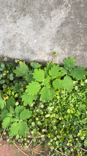
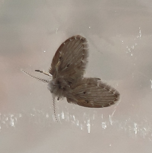

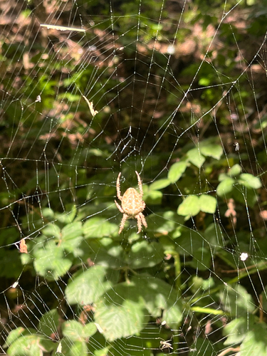
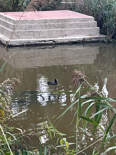
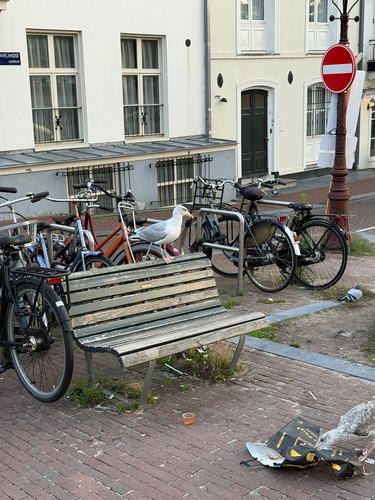
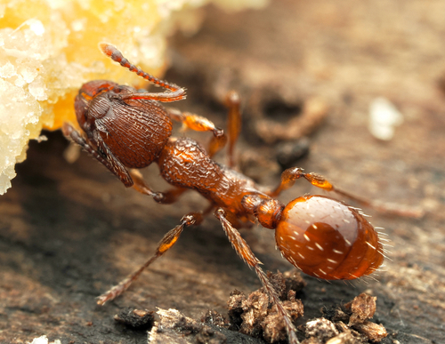
Research-grade observations from iNaturalist (within ~15 mi).
Events
Gallery
Official Identifiers
CBS — Statistics Netherlands
- CBS code
- 0424
- Population (Wikidata)
- 6,499
- Wikidata
- Q34616830
Gemeente codes via Wikidata P382
Sources
- • Wikipedia
- • Wikidata
- • USGS Earthquake Catalog (global feed)
- • GBIF (Global Biodiversity Information Facility)
- • iNaturalist
- • Open-Meteo / sunrise-sunset.org
- • Wikipedia Pageviews API
- • CBS — Statistics Netherlands, municipality code via Wikidata P382
- • CBS — Statistics Netherlands — Gemeente codes via Wikidata P382