Browse / Netherlands / Groningen / Musselkanaal
Musselkanaal
Groningenvillage

Musselkanaal
Total population
7,237
Demographic figures from CBS Netherlands. Overview below cites Wikipedia and may reference a different year.
City facts
Overview
Musselkanaal is a town in the Dutch province of Groningen. It is located in the municipality of Stadskanaal and is directly southeast from the center of Stadskanaal on the linear development (lintdorp) and the canal, which flows on to Ter Apel and Barnflair. Musselkanaal was established by the city of Groningen in the 1840s to exploit the peat. It used to be part of the municipality of Onstwedde, but was merged into Stadskanaal in 1968.
Read more on WikipediaHistory & geography
History
The Bourtange moor was located in the south-east of Groningen. It was a raised bog with few inhabitants. Around 1600, corporations started to exploit the peat. In 1635, the city of Groningen took control, and established the , as a colony. The colony had advanced to Stadskanaal where it ended due to a border conflict with the province of Drenthe. In 1615, the border had been defined by the Semslinie, and the village and monastery of Ter Apel was assigned to Drenthe. In 1817, the line was modified with the so-called Koningsraai which assigned Ter Apel to Groningen. In 1819, Groningen started extending the in a south-eastern direction close to the provincial border. The canal was initially called Stads-Musselkanaal and contains two bends due to the Koningsraai. In 1850, the canal was renamed . Musselkanaal is a linear settlement, and contains five side-canals along which houses were built. There is a large park and sports ground in the south of the town. The Horstenerbos, a forest area, is located on the northern side. The peat extraction resulted in an immigration from neighbouring Germany. Many of the immigrants were Catholics, and in 1843, a Catholic church was built in Zandberg. In 1903, a parish was established in Musselkanaal. The town used to be part of the municipality of Onstwedde, but was merged into Stadskanaal in 1968.
Excerpted from the corresponding Wikipedia article (CC BY-SA).
Geography
Coordinates & boundaries from the US Census TIGER/Line shapefiles.
Climate
Air quality
Walkability
Amenities nearby
Wildlife & biodiversity
Earthquake history
Photos
Sights & places nearby
Notable people from here


People born within ~10 km, from Wikidata (CC0). Click any name for their Wikipedia article.
Geography & sun
Nearby airports
Public attention
Books about this place
Recent natural events nearby
Ground air-quality sensors
Recently spotted species
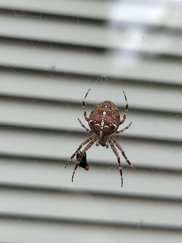
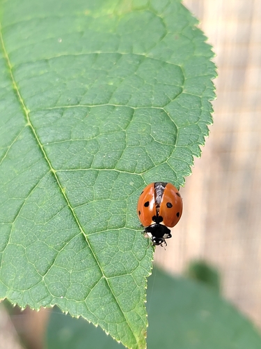
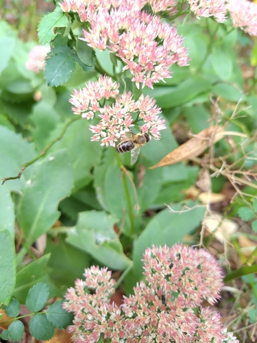
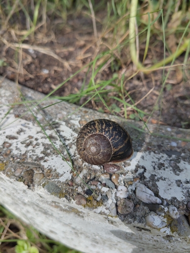
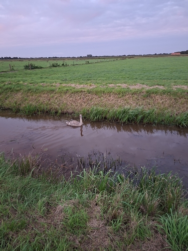
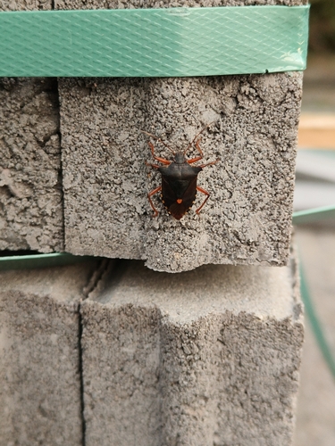
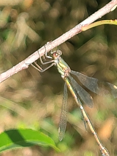
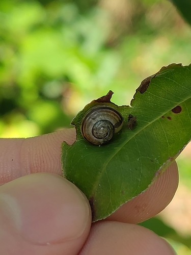
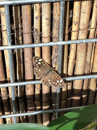
Research-grade observations from iNaturalist (within ~15 mi).
Events
Gallery
Sources
- • Wikipedia
- • Wikidata
- • iNaturalist