Browse / Netherlands / North Holland / Nibbixwoud
Nibbixwoud
North Hollandvillage

Nibbixwoud
Total population
2,435
Demographic figures from CBS Netherlands. Overview below cites Wikipedia and may reference a different year.
City facts
Overview
Nibbixwoud is a village in the Dutch province of North Holland. It is a part of the municipality of Medemblik, and lies about 5 km north of Hoorn.
Read more on WikipediaHistory & geography
History
The village was first mentioned around 1312 as Nuweboxwoude, and means "the new forest of Bok (person)". New was added to distinguish from Oudeboxwoude which is nowadays called Hauwert. Nibbixwoud developed in the 11th century as a peat excavation area. The Dutch Reformed church is an aisleless church which was built in 1834 to replace its 14th century predecessor. In 1860, the town hall was constructed in front of the church at a right angle. The church was decommissioned in 1980 and became a cultural centre. The church and town hall have been converted into a single building in 1982. In 2007, it became part of the municipality of Medemblik.
Excerpted from the corresponding Wikipedia article (CC BY-SA).
Geography
Coordinates & boundaries from the US Census TIGER/Line shapefiles.
Climate
Air quality
Walkability
Amenities nearby
Wildlife & biodiversity
Most-observed species
- Eurasian CootFulica atra Linnaeus, 1758 · Aves20,472
- MallardAnas platyrhynchos Linnaeus, 1758 · Aves17,017
- Graylag GooseAnser anser (Linnaeus, 1758) · Aves15,368
- Eurasian MoorhenGallinula chloropus (Linnaeus, 1758) · Aves14,966
- Eurasian MagpiePica pica (Linnaeus, 1758) · Aves14,853
- GadwallMareca strepera (Linnaeus, 1758) · Aves14,669
- Tufted DuckAythya fuligula (Linnaeus, 1758) · Aves14,053
- Black-headed GullChroicocephalus ridibundus (Linnaeus, 1766) · Aves13,992
Citizen-science & research observations from the Global Biodiversity Information Facility (GBIF).
Earthquake history
Most recent
- M 2.9 — 2008-10-1119 km WNW of Egmond aan Zee, Netherlands
- M 3 — 2004-06-213 km NE of Dwingeloo, Netherlands
Events from the USGS Earthquake Catalog (global) (FDSN Event Web Service).
Photos
Sights & places nearby
Notable people from here


People born within ~10 km, from Wikidata (CC0). Click any name for their Wikipedia article.
Nearby places in North Holland
- Zwaagdijk-West1 mi away · pop. 586
- Wognum1.6 mi away · pop. 5,966
- Zwaag1.7 mi away · pop. 3,135
- Midwoud2 mi away · pop. 2,321
- Hauwert2.1 mi away · pop. 703
- Benningbroek2.2 mi away · pop. 721
- Blokker2.4 mi away · pop. 3,810
- Hoorn2.6 mi away · pop. 72,493
- Oostwoud2.8 mi away · pop. 875
- Oosterblokker2.9 mi away · pop. 1,495
- Westwoud3 mi away · pop. 1,802
- Abbekerk3.2 mi away · pop. 2,122
Geography & sun
Elevation, sunrise/sunset and daylight from Open-Meteo. Solar climatology from NASA POWER.
Nearby airports
Public attention
Pageview totals from the Wikimedia Pageviews API.
Books about this place
Recent natural events nearby
Ground air-quality sensors
Recently spotted species
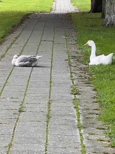
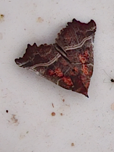
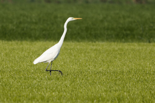
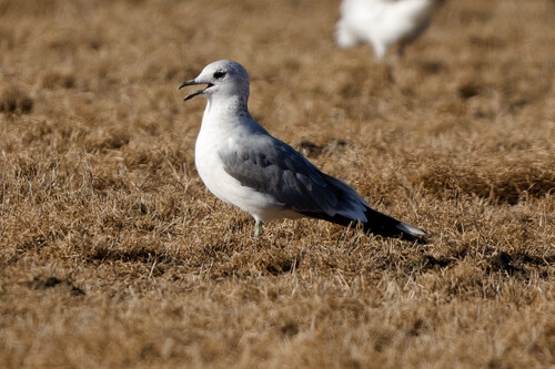
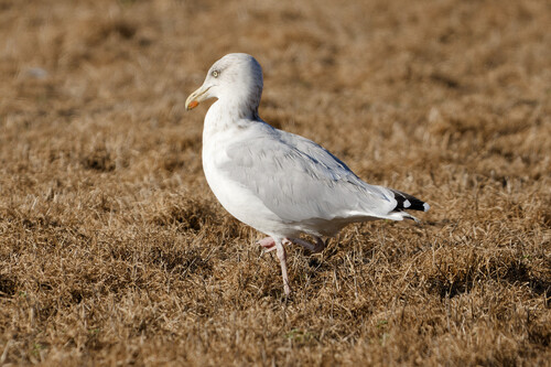
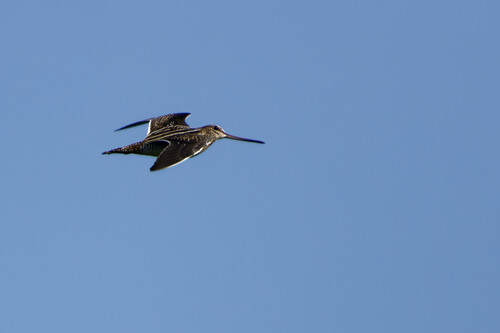
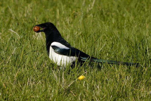
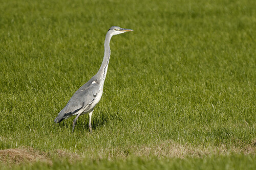
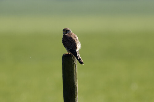
Research-grade observations from iNaturalist (within ~15 mi).
Events
Gallery
Official Identifiers
CBS — Statistics Netherlands
- CBS code
- 0427
- Population (Wikidata)
- 509
- Wikidata
- Q44088071
Gemeente codes via Wikidata P382
Sources
- • Wikipedia
- • Wikidata
- • USGS Earthquake Catalog (global feed)
- • GBIF (Global Biodiversity Information Facility)
- • iNaturalist
- • Open-Meteo / sunrise-sunset.org
- • Wikipedia Pageviews API
- • CBS — Statistics Netherlands, municipality code via Wikidata P382
- • CBS — Statistics Netherlands — Gemeente codes via Wikidata P382