Browse / Netherlands / Gelderland / Nijmegen
Nijmegen
Gelderlandcity

Nijmegen
Total population
176,731
Founded
1230
Air quality index
Demographic figures from CBS Netherlands. Overview below cites Wikipedia and may reference a different year.
City facts
Facts from Wikidata (CC0).
Overview
Nijmegen is the largest city in the Dutch province of Gelderland and the ninth largest of the Netherlands as a whole. Located on the Waal River close to the German border, Nijmegen is one of the oldest cities in the Netherlands and the first to be recognized as such in Roman times. In 2005, it celebrated 2,000 years of existence.
Read more on WikipediaHistory & geography
History
The first mention of Nijmegen in history is in the first century BC, when the Romans built a military camp on the place where Nijmegen was to appear; the location had great strategic value because of the surrounding hills, which give a good view over the river Waal and Rhine valley. By 69, when the Batavi, the original inhabitants of the Rhine and Meuse (Maas) delta, revolted, a village called Oppidum Batavorum had formed near the Roman camp. This village was destroyed in the revolt, but when it had ended the Romans built another, bigger camp where the Legio X Gemina was stationed. Soon after, another village formed around this camp. In 98, Nijmegen was the first of two settlements in what is now the Kingdom of the Netherlands to receive Roman city rights. In 103, the X Gemina was restationed in Vindobona, now Vienna, which may have been a major blow to the economy of the village around the camp, losing around 5000 inhabitants. In 104 Emperor Trajan renamed the town, which became known as Ulpia Noviomagus Batavorum, Noviomagus for short, the ultimate origin of the current name. A collection of artifacts from Roman antiquity were compiled by Johannes Smetius in the 17th century, called the Smetius Collection. In January 2022, archeologists led by Pepijn van de Geer announced the discovery of an intact 2,000-year-old blue glass bowl with a vertical stripe pattern in Nijmegen. Researchers assume that this well-preserved bowl was made in a glass workshop. According to van de Geer, this type of bowl was made by allowing molten glass to cool and harden over a mould. Beginning in the latter half of the 4th century, Roman power decreased and Noviomagus eventually became part of Francia. It also appeared around this time on the . In the 8th century Emperor Charlemagne…
Geography
Nijmegen has an oceanic climate (Cfb). It is one of the warmest cities of the Netherlands, especially during summer, when the highest temperatures in the country are usually measured in the triangle Roermond–Nijmegen–Eindhoven. The lack of north–south oriented mountain ranges in Europe make this area prone to sudden shifts in weather, giving the region a semi-continental climate. Some of the northernmost wineries in the world are found just outside Nijmegen, around Groesbeek, a suburban village south-east of Nijmegen. During the 2006 European heatwave, closest official weather station Volkel reached a high of on 19 July. The heat wave coincided with that year's Four Day Marches, which were cancelled after the first day, when two people died of hyperthermia-related causes. Temperatures on that day, 18 July, reached around in the city. Few Roman remains are visible today; a fragment of the old city wall can be seen near the casino and the foundations of the amphitheatre are traced in the paving of the present-day Rembrandtstraat. The Valkhof Museum, on the Valkhof, has a permanent display of the history of Nijmegen, including artifacts from the Roman era. Additionally, they usually have temporary exhibitions of more and less famous artists. During building works in the Waalsprong area, ruins from before the Roman times were found which were identified in 2022 as those of a sauna. This 3,600 year-old sauna is the first of its kind in mainland Europe. Not many very old buildings are left in town: first the Americans bombed it in February 1944, later the Germans shelled it for about five months after the liberation in September 1944, and finally there were a number of vigorous city planners in the 1950s, 60s and 70s who finished the demolition. There are still a few…
Excerpted from the corresponding Wikipedia article (CC BY-SA).
Geography
Coordinates & boundaries from the US Census TIGER/Line shapefiles.
Climate
Air quality
Current readings from Open-Meteo Air Quality API (Copernicus CAMS European reanalysis).
Walkability
Amenities nearby
Wildlife & biodiversity
Most-observed species
- Eurasian CootFulica atra Linnaeus, 1758 · Aves44,052
- Common BuzzardButeo buteo (Linnaeus, 1758) · Aves39,703
- Common ChiffchaffPhylloscopus collybita (Vieillot, 1817) · Aves38,969
- Eurasian BlackbirdTurdus merula Linnaeus, 1758 · Aves38,086
- Gray/Purple HeronArdea cinerea Linnaeus, 1758 · Aves37,073
- Great EgretArdea alba Linnaeus, 1758 · Aves35,629
- Graylag GooseAnser anser (Linnaeus, 1758) · Aves35,282
- Great TitParus major Linnaeus, 1758 · Aves34,422
Citizen-science & research observations from the Global Biodiversity Information Facility (GBIF).
Earthquake history
Most recent
- M 2.9 — 2018-05-251 km S of Reppel, Belgium
- M 2.9 — 2013-01-200 km WNW of Brachterbeek, Netherlands
- M 4.2 — 2011-09-083 km ENE of Heijen, Netherlands
- M 4.1 — 2009-07-242 km NW of Kamp-Lintfort, Germany
- M 3.2 — 2008-12-256 km ESE of Rheinberg, Germany
- M 2.9 — 2008-12-232 km ESE of Kamp-Lintfort, Germany
Events from the USGS Earthquake Catalog (global) (FDSN Event Web Service).
Photos
Sights & places nearby
Notable people from here


People born within ~10 km, from Wikidata (CC0). Click any name for their Wikipedia article.
Nearby places in Gelderland
- Ubbergen1.7 mi away · pop. 486
- Haalderen3.8 mi away · pop. 2,023
- Slijk-Ewijk4.2 mi away · pop. 484
- Malden4.7 mi away · pop. 11,625
- Leuth5.6 mi away · pop. 1,666
- Heumen5.7 mi away · pop. 1,445
- Kekerdom6.3 mi away · pop. 490
- Herveld6.6 mi away
- De Horst6.8 mi away · pop. 1,225
- Andelst7.1 mi away · pop. 1,632
- Winssen7.1 mi away · pop. 1,958
- Nederasselt7.2 mi away · pop. 785
Geography & sun
Elevation, sunrise/sunset and daylight from Open-Meteo. Solar climatology from NASA POWER.
Nearby airports
Public attention
Pageview totals from the Wikimedia Pageviews API.
Books about Nijmegen
Search results from Open Library.
Recent natural events nearby
Ground air-quality sensors
Recently spotted species
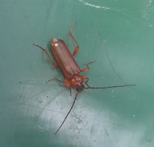
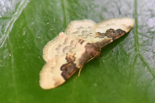
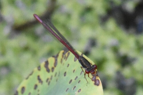
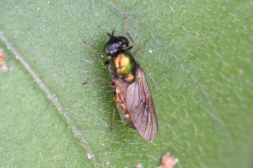
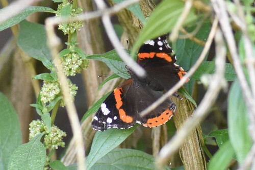
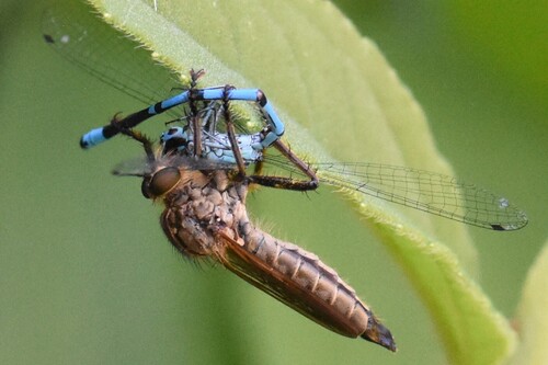
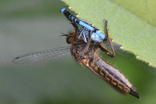
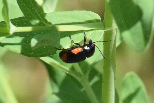
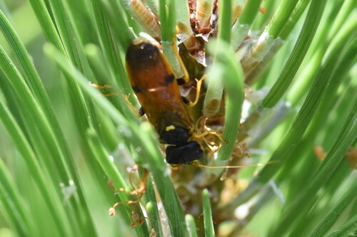
Research-grade observations from iNaturalist (within ~15 mi).
Events
Notable, recurring, and historical events associated with Nijmegen, sourced from Wikidata.
- Jan 1, 2025
- Nov 20, 2022
- Grondfest 2022Sep 30, 2022recurring event edition
first edition of the Grondfest festival in Nijmegen, Netherlands
- Nijmeegse Vierdaagse 2021Jan 1, 2021recurring event edition
yearly four days marching event in the Netherlands, has been canceled in 2021 due to corona pandemic
- 2002 European Conference on Science and TheologyJan 1, 2002recurring event edition
conference on theology and science in 2002
Source: Wikidata (CC0).
Gallery
Geotagged photos within ~6 miles of Nijmegen, from Wikimedia Commons contributors.


Photos via Wikimedia Commons — see each image page for license & attribution.
Official Identifiers
CBS — Statistics Netherlands
- CBS code
- 0268
- Population (Wikidata)
- 177,359
- Wikidata
- Q47887
Gemeente codes via Wikidata P382
Sources
- • Wikipedia
- • Wikimedia Commons
- • Wikidata
- • Open-Meteo Air Quality (CAMS)
- • USGS Earthquake Catalog (global feed)
- • GBIF (Global Biodiversity Information Facility)
- • iNaturalist
- • Open-Meteo / sunrise-sunset.org
- • Wikipedia Pageviews API
- • Open Library
- • CBS — Statistics Netherlands, municipality code via Wikidata P382
- • CBS — Statistics Netherlands — Gemeente codes via Wikidata P382