Browse / Netherlands / South Holland / Ooltgensplaat
Ooltgensplaat
South Hollandvillage
Total population
2,655
Demographic figures from CBS Netherlands. Overview below cites Wikipedia and may reference a different year.
City facts
Overview
Situated in South Holland, Netherlands, Ooltgensplaat is a village. Around 2,655 people are recorded as living there in the most recent open data. Its coordinates of 51.684°, 4.349° place it in the cool-temperate zone of the northern hemisphere. Open solar datasets indicate about 1,104 kWh/m² of solar irradiance per year, combined with sunshine for roughly 43% of daylight hours. Climatically, locations at this latitude tend to experience long cool seasons and short, mild summers. Open-data panels below dive into population trends, climate normals, environmental indicators and nearby places.
Summary composed automatically from structured open data on this page. See our Terms for details.
History & geography
Geography
Coordinates & boundaries from the US Census TIGER/Line shapefiles.
Climate
Air quality
Walkability
Amenities nearby
Wildlife & biodiversity
Most-observed species
- Eurasian CootFulica atra Linnaeus, 1758 · Aves15,996
- Great EgretArdea alba Linnaeus, 1758 · Aves14,045
- Common ChiffchaffPhylloscopus collybita (Vieillot, 1817) · Aves12,844
- Common BuzzardButeo buteo (Linnaeus, 1758) · Aves12,472
- MallardAnas platyrhynchos Linnaeus, 1758 · Aves12,439
- Mute SwanCygnus olor (J.F.Gmelin, 1789) · Aves11,813
- Graylag GooseAnser anser (Linnaeus, 1758) · Aves11,317
- Gray/Purple HeronArdea cinerea Linnaeus, 1758 · Aves11,181
Citizen-science & research observations from the Global Biodiversity Information Facility (GBIF).
Earthquake history
Events from the USGS Earthquake Catalog (global) (FDSN Event Web Service).
Photos
Sights & places nearby
Notable people from here
Nearby places in South Holland
- Achthuizen2.9 mi away · pop. 1,123
- Den Bommel3.7 mi away · pop. 1,685
- Zuid-Beijerland4.7 mi away · pop. 3,480
- Numansdorp4.8 mi away · pop. 8,740
- Oude-Tonge5.9 mi away · pop. 4,771
- Stad aan 't Haringvliet6 mi away · pop. 1,284
- Klaaswaal7.1 mi away · pop. 4,055
- Piershil7.7 mi away · pop. 1,725
- Nieuwe-Tonge8.2 mi away · pop. 2,410
- Goudswaard8.2 mi away · pop. 1,985
- Nieuw-Beijerland8.8 mi away · pop. 3,765
- Westmaas9 mi away · pop. 2,050
Geography & sun
Elevation, sunrise/sunset and daylight from Open-Meteo. Solar climatology from NASA POWER.
Nearby airports
Public attention
Books about this place
Recent natural events nearby
Ground air-quality sensors
Recently spotted species
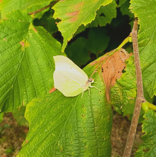
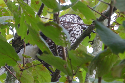
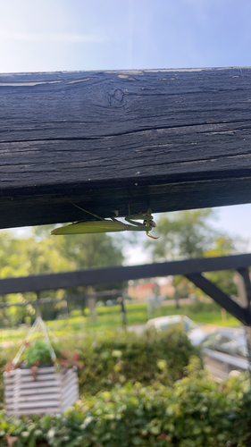
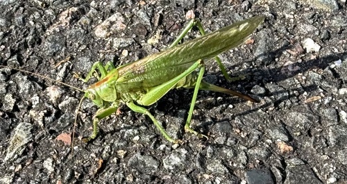
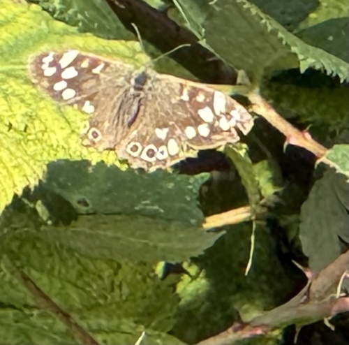
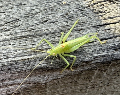
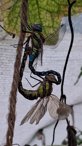
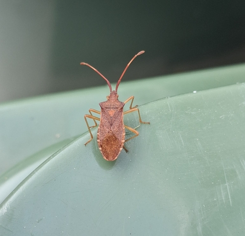
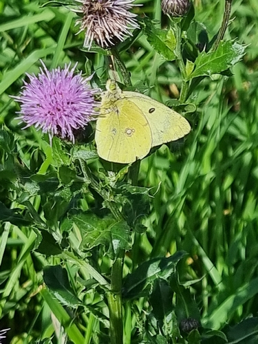
Research-grade observations from iNaturalist (within ~15 mi).
Events
Gallery
Official Identifiers
CBS — Statistics Netherlands
- CBS code
- 1133
- Population (Wikidata)
- 1,187
- Wikidata
- Q2249199
Gemeente codes via Wikidata P382
Sources
- • USGS Earthquake Catalog (global feed)
- • GBIF (Global Biodiversity Information Facility)
- • iNaturalist
- • Open-Meteo / sunrise-sunset.org
- • CBS — Statistics Netherlands, municipality code via Wikidata P382
- • CBS — Statistics Netherlands — Gemeente codes via Wikidata P382