Browse / Netherlands / Overijssel / Ootmarsum
Ootmarsum
Overijsselvillage

Ootmarsum
Total population
4,514
Air quality index
Demographic figures from CBS Netherlands. Overview below cites Wikipedia and may reference a different year.
City facts
Facts from Wikidata (CC0).
Overview
Ootmarsum is a city in the Dutch province of Overijssel. It is a part of the municipality of Dinkelland, and lies about 10 km north of Oldenzaal.
Read more on WikipediaHistory & geography
History
Around 770, one of the first churches of Twente was built in Ootmarsum. In November 917, Radboud, bishop of Utrecht, died in Ootmarsum. Around 1000, Ootmarsum was one of the largest parishes in Twente. Ootmarsum received city rights in 1325. The town was then converted into a fortress with ditches and earthworks. In the 16th century Ootmarsum was occupied by the Spanish during the Eighty Years War but in 1597 was captured by Maurice, Prince of Orange. A cannonball from the siege can be seen today still embedded in the church. Ootmarsum was a separate municipality until 2001, when it became a part of Dinkelland, together with Denekamp and Weerselo.
Excerpted from the corresponding Wikipedia article (CC BY-SA).
Geography
Coordinates & boundaries from the US Census TIGER/Line shapefiles.
Climate
Air quality
Current readings from Open-Meteo Air Quality API (Copernicus CAMS European reanalysis).
Walkability
Amenities nearby
Wildlife & biodiversity
Most-observed species
- Common Wood-PigeonColumba palumbus Linnaeus, 1758 · Aves9,034
- Common ChaffinchFringilla coelebs Linnaeus, 1758 · Aves8,999
- Eurasian BlackbirdTurdus merula Linnaeus, 1758 · Aves8,575
- Eurasian Blue TitCyanistes caeruleus (Linnaeus, 1758) · Aves8,233
- Common ChiffchaffPhylloscopus collybita (Vieillot, 1817) · Aves7,694
- Great TitParus major Linnaeus, 1758 · Aves7,430
- European RobinErithacus rubecula (Linnaeus, 1758) · Aves7,069
- Common BuzzardButeo buteo (Linnaeus, 1758) · Aves5,850
Citizen-science & research observations from the Global Biodiversity Information Facility (GBIF).
Earthquake history
Most recent
- M 3.2 — 2008-12-256 km ESE of Rheinberg, Germany
- M 3.3 — 2008-12-104 km WSW of Wesel, Germany
- M 3.3 — 2008-11-226 km NW of Bottrop, Germany
- M 3.2 — 2008-09-184 km NE of Alpen, Germany
- M 2.6 — 2008-08-112 km SSE of Alpen, Germany
- M 2.7 — 2008-08-073 km NW of Alpen, Germany
Events from the USGS Earthquake Catalog (global) (FDSN Event Web Service).
Photos
Sights & places nearby
Notable people from here


People born within ~10 km, from Wikidata (CC0). Click any name for their Wikipedia article.
Nearby places in Overijssel
- Oud Ootmarsum0.9 mi away · pop. 331
- Tilligte2.3 mi away · pop. 741
- Reutum2.4 mi away · pop. 1,346
- Vasse3.3 mi away · pop. 1,545
- Lattrop3.6 mi away · pop. 993
- Rossum4.1 mi away · pop. 2,317
- Fleringen4.3 mi away · pop. 892
- Weerselo4.3 mi away · pop. 2,992
- Tubbergen4.9 mi away · pop. 6,374
- Denekamp5.1 mi away · pop. 9,004
- Beuningen5.4 mi away · pop. 995
- Noord Deurningen5.5 mi away · pop. 1,018
Geography & sun
Elevation, sunrise/sunset and daylight from Open-Meteo. Solar climatology from NASA POWER.
Nearby airports
Public attention
Pageview totals from the Wikimedia Pageviews API.
Books about this place
Recent natural events nearby
Ground air-quality sensors
Recently spotted species
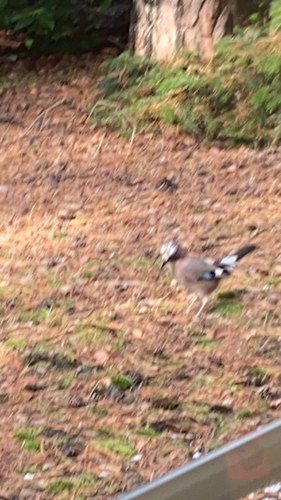
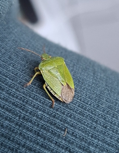
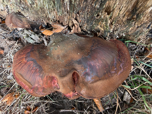
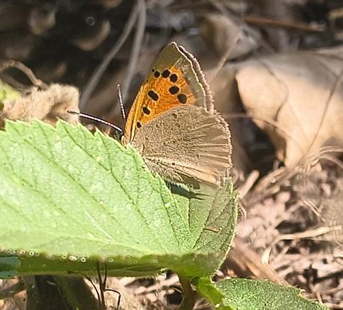
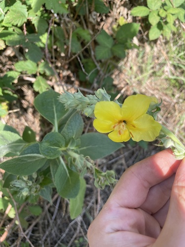
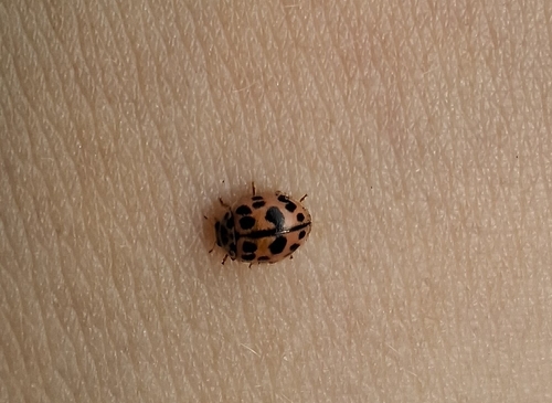
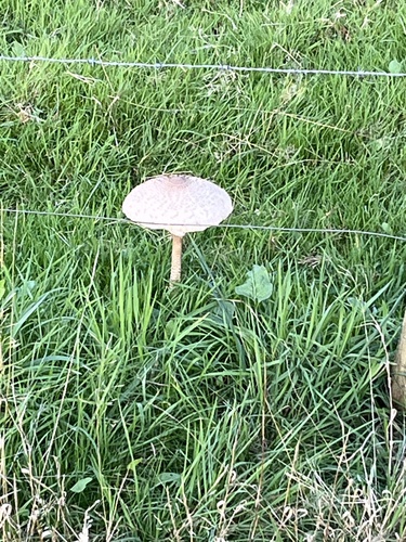
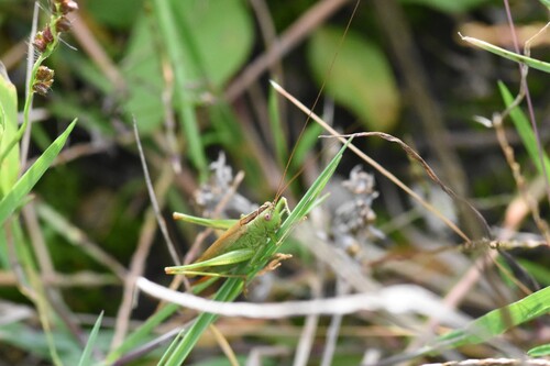
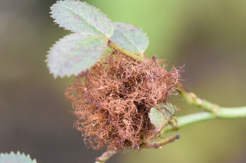
Research-grade observations from iNaturalist (within ~15 mi).
Events
Gallery
Official Identifiers
CBS — Statistics Netherlands
- CBS code
- 0176
- Population (Wikidata)
- 4,530
- Wikidata
- Q1615365
Gemeente codes via Wikidata P382
Sources
- • Wikipedia
- • Wikidata
- • Open-Meteo Air Quality (CAMS)
- • USGS Earthquake Catalog (global feed)
- • GBIF (Global Biodiversity Information Facility)
- • iNaturalist
- • Open-Meteo / sunrise-sunset.org
- • Wikipedia Pageviews API
- • CBS — Statistics Netherlands, municipality code via Wikidata P382
- • CBS — Statistics Netherlands — Gemeente codes via Wikidata P382