Browse / Netherlands / South Holland / Oud-Beijerland
Oud-Beijerland
South Hollandtown

Oud-Beijerland
Total population
24,015
Founded
1559
Demographic figures from CBS Netherlands. Overview below cites Wikipedia and may reference a different year.
City facts
Facts from Wikidata (CC0).
Overview
Oud-Beijerland is a town and former municipality in the western Netherlands, in the province of South Holland, now a part of the Hoeksche Waard municipality. With a population of 24,575 in 2020, it is the most populous town of the Hoeksche Waard island. The town is located adjacent to the confluence of the Oude Maas and Spui River.
Read more on WikipediaHistory & geography
History
After the St. Elizabeth's flood (1421), large parts of the islands Putten and Grote Waard were lost and became clay banks and salt marshes which would be inundated at high tide and be unsuitable for habitation. In subsequent centuries, portions of land would be reclaimed. Oud-Beijerland was formed in 1559 as "Beijerland" by Lamoral, Count of Egmont. He was granted the rights to this area in 1557 and had the land reclaimed. This new polder was named Beijerland, Moerkerken, Cromstrijen en de Greup. Circa 1624 the smaller polders Bosschenpolder and Nieuwlandpolder were added to it. Beijerland was named after Sabina of Bavaria (Dutch: Beieren), wife of the Count of Egmont. In 1582 the name was changed to Oud-Beijerland, in order to distinguish it from Nieuw-Beijerland which was formed several kilometers to the west. In 1604 the village got its churchtower from Sabina van Beijeren, and in 1622 the town hall was built. Oud-Beijerland then became one of the most important market places of the Hoeksche Waard. Its economy was dependent on trade, industry, agriculture and fishing. This brought prosperity which is still reflected in the elegant mansions along the Vliet. From the end of the 19th century until ca. 1955, a tram connected Oud-Beijerland with Rotterdam. The tram was nicknamed "Het Moordenaartje" (The Little Murderer) because of the high rate of casualties involved with its operation.
Excerpted from the corresponding Wikipedia article (CC BY-SA).
Geography
Coordinates & boundaries from the US Census TIGER/Line shapefiles.
Climate
Air quality
Walkability
Amenities nearby
Wildlife & biodiversity
Earthquake history
Photos
Sights & places nearby
Notable people from here


People born within ~10 km, from Wikidata (CC0). Click any name for their Wikipedia article.
Nearby places in South Holland
- Rhoon2.5 mi away · pop. 15,450
- Heinenoord2.7 mi away · pop. 3,591
- Poortugaal2.7 mi away · pop. 9,645
- Hekelingen3.1 mi away · pop. 1,401
- Nieuw-Beijerland3.3 mi away · pop. 3,765
- Mijnsheerenland3.4 mi away · pop. 4,486
- Westmaas3.4 mi away · pop. 2,050
- Hoogvliet3.8 mi away · pop. 34,502
- Klaaswaal3.9 mi away · pop. 4,055
- Piershil4.7 mi away · pop. 1,725
- Zuid-Beijerland5.3 mi away · pop. 3,480
- Simonshaven5.4 mi away · pop. 499
Geography & sun
Elevation, sunrise/sunset and daylight from Open-Meteo. Solar climatology from NASA POWER.
Nearby airports
Public attention
Pageview totals from the Wikimedia Pageviews API.
Books about this place
Recent natural events nearby
Ground air-quality sensors
Recently spotted species
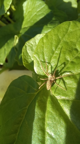
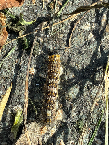
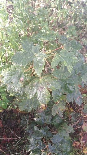
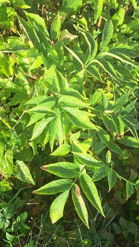
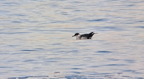
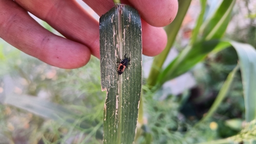
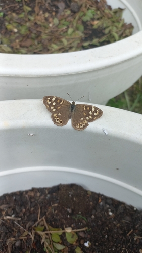
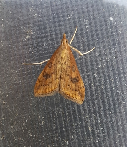
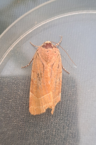
Research-grade observations from iNaturalist (within ~15 mi).
Events
Gallery
Official Identifiers
CBS — Statistics Netherlands
- CBS code
- 0584
- Population (Wikidata)
- 24,301
- Wikidata
- Q795623
Gemeente codes via Wikidata P382
Sources
- • Wikipedia
- • Wikidata
- • iNaturalist
- • Open-Meteo / sunrise-sunset.org
- • Wikipedia Pageviews API
- • CBS — Statistics Netherlands, municipality code via Wikidata P382
- • CBS — Statistics Netherlands — Gemeente codes via Wikidata P382