Browse / Netherlands / Groningen / Oude Pekela
Oude Pekela
Groningentown

Oude Pekela
Total population
7,955
Demographic figures from CBS Netherlands. Overview below cites Wikipedia and may reference a different year.
City facts
Overview
Oude Pekela is a town in the Dutch province of Groningen. It is located in the municipality of Pekela, about 5 km southwest of Winschoten. It was established to exploit the peat in the area. During the 19th century, it was known for its maritime transport. During the 20th century, Oude Pekela became the centre of the cardboard and potato starch industry.
Read more on WikipediaHistory & geography
History
In the 1590s, the Friesche Compagnie (Frisian Company) was founded to exploit the peat in the area. In 1599, the land around the River Pekel A was bought and subdivided in 101 lots. Oude Pekela was established to house the workers. The town is named after the Pekel A, and is a linear settlement along the river which has been canalised and renamed . In 1635, it became part of the , and was controlled by the city of Groningen as a colony. In 1704, the settlement was split into Oude Pekela (Old) and Nieuwe Pekela (New), because a second church was built. In 1801, all towns and villages had to be governed by a municipality, and the peat colony came to an end. It was originally a municipality with neighbouring Nieuwe Pekela. In 1808, Oude Pekela was home to 3,371 people. In 1810, after Napoleon annexed the Batavian Republic, Oude Pekela became a separate commune and a mayor was appointed the next year. Oude Pekela remained a separate municipality until 1990, when it merged with Nieuwe Pekela. The River Pekel A connected Oude Pekela with the Dollart and the Wadden Sea. In 1717, the first lock was constructed in the town. Around 1800, the peat became exhausted, and the skippers started to make longer journeys. First to Holland, and later to England, the Baltic and the Mediterranean. Boat builders set up shop in the village, and the maritime industry flourished. Oude Pekela developed into the centre of the cardboard and potato starch industry, The working conditions in the factories were also unsatisfactory. In 1969, strikes were organised by Fré Meis of the Communist Party (CPN). The CPN scored an electoral victory in the in Groningen with 14% of the votes, and Meis was promoted to the Executive Committee of the CPN. In 1685, the first Jews settled in Oude Pekela, and…
Excerpted from the corresponding Wikipedia article (CC BY-SA).
Geography
Coordinates & boundaries from the US Census TIGER/Line shapefiles.
Climate
Air quality
Walkability
Amenities nearby
Wildlife & biodiversity
Most-observed species
- Common BuzzardButeo buteo (Linnaeus, 1758) · Aves12,161
- Gray/Purple HeronArdea cinerea Linnaeus, 1758 · Aves7,638
- Great EgretArdea alba Linnaeus, 1758 · Aves6,758
- European moleTalpa europaea Linnaeus, 1758 · Mammalia6,140
- Carrion CrowCorvus corone Linnaeus, 1758 · Aves5,698
- muskratOndatra zibethicus (Linnaeus, 1766) · Mammalia5,447
- Common ChiffchaffPhylloscopus collybita (Vieillot, 1817) · Aves5,045
- Eurasian KestrelFalco tinnunculus Linnaeus, 1758 · Aves4,915
Citizen-science & research observations from the Global Biodiversity Information Facility (GBIF).
Earthquake history
Most recent
- M 3.8 — 2025-11-140 km ESE of Uithuizen, Netherlands
- M 2.7 — 2022-09-243 km SSW of Spijk, Netherlands
- M 3.2 — 2019-05-221 km E of Warffum, Netherlands
- M 3.4 — 2013-02-071 km NE of Usquert, Netherlands
- M 3.4 — 2012-08-161 km NNE of Loppersum, Netherlands
- M 3.3 — 2008-10-302 km SSW of Usquert, Netherlands
Events from the USGS Earthquake Catalog (global) (FDSN Event Web Service).
Photos
Sights & places nearby
Notable people from here


People born within ~10 km, from Wikidata (CC0). Click any name for their Wikipedia article.
Nearby places in Groningen
- Blijham2.4 mi away · pop. 2,240
- Wedderveer2.7 mi away · pop. 135
- Westerlee2.8 mi away · pop. 1,480
- Heiligerlee3.3 mi away · pop. 1,435
- Zuidwending3.4 mi away · pop. 410
- Alteveer3.9 mi away · pop. 1,154
- Blauwestad4.3 mi away · pop. 1,025
- Ommelanderwijk4.7 mi away · pop. 1,055
- Vriescheloo4.9 mi away · pop. 755
- Oudeschans5.7 mi away · pop. 100
- Veelerveen5.8 mi away · pop. 720
- Boven Pekela6.3 mi away · pop. 555
Geography & sun
Elevation, sunrise/sunset and daylight from Open-Meteo. Solar climatology from NASA POWER.
Nearby airports
Public attention
Pageview totals from the Wikimedia Pageviews API.
Books about this place
Recent natural events nearby
Ground air-quality sensors
Recently spotted species
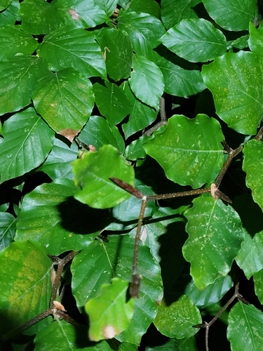
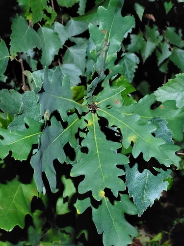
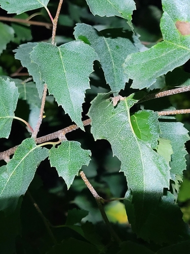
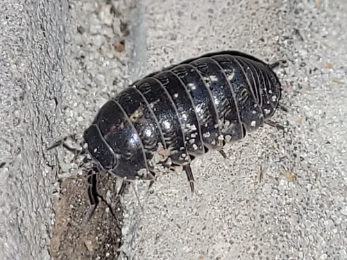
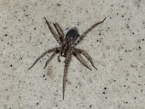
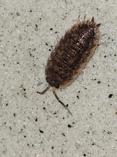
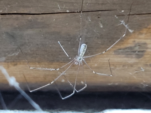
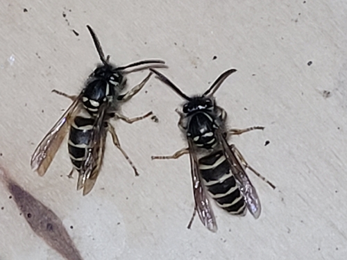

Research-grade observations from iNaturalist (within ~15 mi).
Events
Gallery
Official Identifiers
CBS — Statistics Netherlands
- CBS code
- 0038
- Population (Wikidata)
- 3,386
- Wikidata
- Q2096106
Gemeente codes via Wikidata P382
Sources
- • Wikipedia
- • Wikidata
- • USGS Earthquake Catalog (global feed)
- • GBIF (Global Biodiversity Information Facility)
- • iNaturalist
- • Open-Meteo / sunrise-sunset.org
- • Wikipedia Pageviews API
- • CBS — Statistics Netherlands, municipality code via Wikidata P382
- • CBS — Statistics Netherlands — Gemeente codes via Wikidata P382