Browse / Netherlands / North Brabant / Oudenbosch
Oudenbosch
North Brabanttown

Oudenbosch
Total population
12,479
Demographic figures from CBS Netherlands. Overview below cites Wikipedia and may reference a different year.
City facts
Facts from Wikidata (CC0).
Overview
Oudenbosch is a town in the municipality of Halderberge in the west of the Dutch province of North Brabant. Oudenbosch is well known for its 'Basiliek', a Catholic church that is a smaller copy of St. Peter's Basilica in Rome.
Read more on WikipediaHistory & geography
History
The village was first mentioned in 1275 as "silvam que vocatur Barlebosche", and means "old forest". The forest was cultivated from 1275 onwards by the monks of the Cistercian abbey of St Bernard near Antwerp. Oudenbosch was located at an intersection of land and waterways which stimulated its development. In 1837, the monastery boarding school St Anna was founded, and Oudenbosch became a Catholic centre. In 1862, the first sugar factory was built in Oudenbosch, and it became a centre of the sugar industry. Oudenbosch was a separate municipality until 1997, when it became part of the new municipality of Halderberge.
Excerpted from the corresponding Wikipedia article (CC BY-SA).
Geography
Coordinates & boundaries from the US Census TIGER/Line shapefiles.
Climate
Air quality
Walkability
Amenities nearby
Wildlife & biodiversity
Earthquake history
Photos
Sights & places nearby
Notable people from here


People born within ~10 km, from Wikidata (CC0). Click any name for their Wikipedia article.
Nearby places in North Brabant
- Noordhoek3.7 mi away · pop. 1,030
- Stampersgat4 mi away · pop. 1,189
- Rucphen4.1 mi away · pop. 4,625
- Sprundel4.6 mi away · pop. 5,120
- Etten-Leur4.8 mi away · pop. 43,027
- Roosendaal4.9 mi away · pop. 67,390
- Oudemolen5 mi away · pop. 205
- Schijf6.5 mi away · pop. 1,580
- Heijningen6.9 mi away · pop. 960
- Langeweg7.2 mi away · pop. 870
- Helwijk7.3 mi away · pop. 860
- Dinteloord7.5 mi away · pop. 5,534
Geography & sun
Elevation, sunrise/sunset and daylight from Open-Meteo. Solar climatology from NASA POWER.
Nearby airports
Public attention
Pageview totals from the Wikimedia Pageviews API.
Books about this place
Recent natural events nearby
Ground air-quality sensors
Recently spotted species
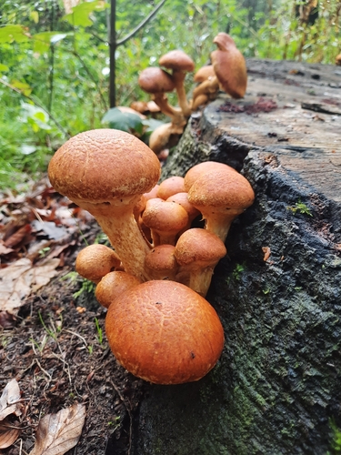
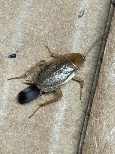
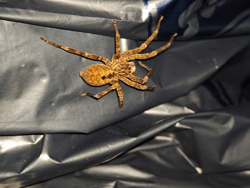
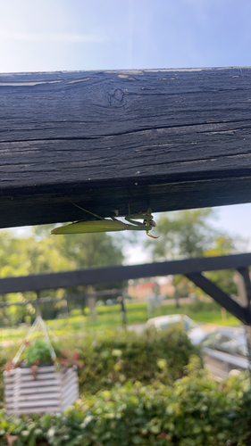
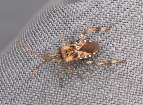
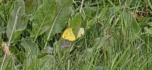
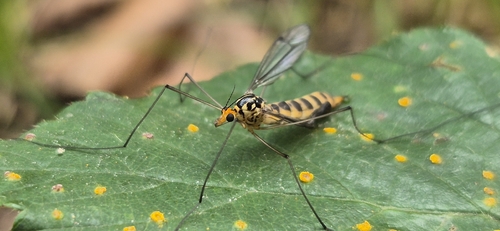
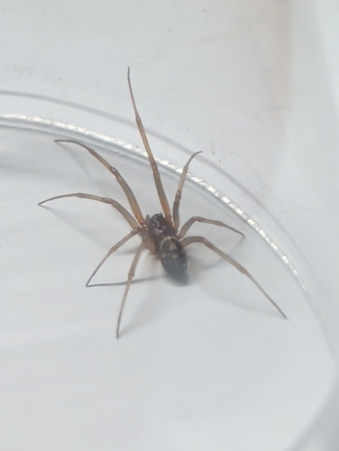
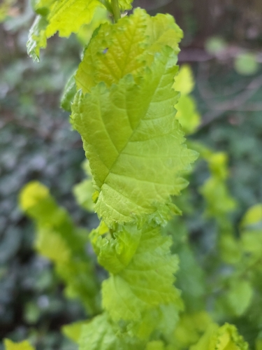
Research-grade observations from iNaturalist (within ~15 mi).
Events
Gallery
Official Identifiers
CBS — Statistics Netherlands
- CBS code
- 0830
- Population (Wikidata)
- 2,145
- Wikidata
- Q44079391
Gemeente codes via Wikidata P382
Sources
- • Wikipedia
- • Wikidata
- • iNaturalist
- • Open-Meteo / sunrise-sunset.org
- • Wikipedia Pageviews API
- • CBS — Statistics Netherlands, municipality code via Wikidata P382
- • CBS — Statistics Netherlands — Gemeente codes via Wikidata P382