Browse / Netherlands / Gelderland / Overasselt
Overasselt
Gelderlandvillage

Overasselt
Total population
2,615
Demographic figures from CBS Netherlands. Overview below cites Wikipedia and may reference a different year.
City facts
Facts from Wikidata (CC0).
Overview
Overasselt is a village in the Dutch province of Gelderland. It is located in the municipality of Heumen.
Read more on WikipediaHistory & geography
History
The village was first mentioned in the 13th century as Asle, and means "upper open forest with ash (Fraxinus excelsior) trees". "Over" (upper) has been added to distinguish it from Nederasselt. Overasselt developed in the Early Middle Ages on a ridge. The village used to be concentrated around the former Dutch Reformed church. The former Dutch Reformed church was built in 1710 using material from its 15th-century predecessor. The Catholic St. Antonius Abt Church was built 1891. Near the village are the , a 15th-century Benedictine priory which used to belong to the Abbey of Saint-Valery-sur-Somme, France. Overasselt was a separate municipality until 1 July 1980, when it was merged with Heumen. A shootout occurred in Overasselt on September 1, 2026, when police came under fire after responding to reports of armed men wearing balaclavas approaching a house in the village at 4 a.m. A 51-year-old security guard was killed in the shooting, and two police officers were injured. Thirty-five people were arrested by Dutch police in the days following the shooting, including Dutch, Belgian, French, and Algerian nationals. The shootout is reportedly linked to the illegal drug trade.
Excerpted from the corresponding Wikipedia article (CC BY-SA).
Geography
Coordinates & boundaries from the US Census TIGER/Line shapefiles.
Climate
Air quality
Walkability
Amenities nearby
Wildlife & biodiversity
Earthquake history
Photos
Sights & places nearby
Notable people from here


People born within ~10 km, from Wikidata (CC0). Click any name for their Wikipedia article.
Nearby places in Gelderland
- Nederasselt2 mi away · pop. 785
- Heumen2.4 mi away · pop. 1,445
- Malden3.1 mi away · pop. 11,625
- Niftrik5.6 mi away · pop. 415
- Leur5.7 mi away · pop. 125
- Hernen6.9 mi away · pop. 895
- Ubbergen7.1 mi away · pop. 486
- De Horst7.8 mi away · pop. 1,225
- Slijk-Ewijk8.7 mi away · pop. 484
- Winssen9.1 mi away · pop. 1,958
- Leuth10.2 mi away · pop. 1,666
- Herveld10.2 mi away
Geography & sun
Elevation, sunrise/sunset and daylight from Open-Meteo. Solar climatology from NASA POWER.
Nearby airports
Public attention
Pageview totals from the Wikimedia Pageviews API.
Books about Overasselt
Search results from Open Library.
Recent natural events nearby
Ground air-quality sensors
Recently spotted species
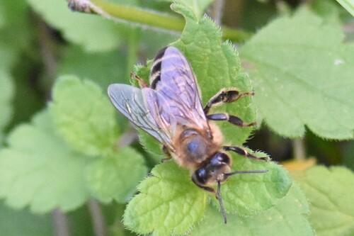



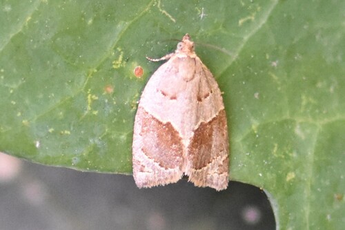
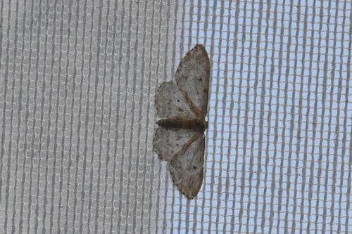

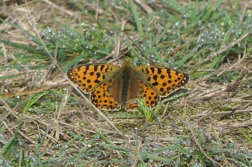
Research-grade observations from iNaturalist (within ~15 mi).
Events
Notable, recurring, and historical events associated with Overasselt, sourced from Wikidata.
- Q2412886Jul 15, 1933planned event
Source: Wikidata (CC0).
Gallery
Official Identifiers
CBS — Statistics Netherlands
- CBS code
- 0271
- Population (Wikidata)
- 1,214
- Wikidata
- Q1013416
Gemeente codes via Wikidata P382
Sources
- • Wikipedia
- • Wikidata
- • iNaturalist
- • Open-Meteo / sunrise-sunset.org
- • Wikipedia Pageviews API
- • Open Library
- • CBS — Statistics Netherlands, municipality code via Wikidata P382
- • CBS — Statistics Netherlands — Gemeente codes via Wikidata P382