Browse / Netherlands / North Holland / Purmerend
Purmerend
North Hollandcity

Purmerend
Total population
95,912
Air quality index
Demographic figures from CBS Netherlands. Overview below cites Wikipedia and may reference a different year.
City facts
Facts from Wikidata (CC0).
Overview
Purmerend is a city and municipality in the west of the Netherlands, in the province of North Holland. The city is surrounded by polders, such as the Purmer, Beemster and the Wormer. Purmerend's population grew relatively slowly until the 1960s, when it increased from around 10,000 to over 80,000 by 2020. This expansion has turned Purmerend into a commuter town; many inhabitants work, go to school or spend leisure time in Amsterdam. Purmerend is part of the Randstad, one of the largest conurbations in Europe.
Read more on WikipediaHistory & geography
History
Purmerend was created out of the small fishing village Purmer, which was situated on the land between the Purmermeer (Purmer Lake), the Beemstermeer (Beemster Lake) and the Wormermeer (Wormer Lake) on the south bank of the river , which used to connect the former Purmermeer and Beemstermeer. Purmerend was founded by a rich banker and landowner from Amsterdam, Willem Eggert. Count William VI of Holland (Willem VI van Holland) gave him permission to build a fortified castle, Slot Purmerstein, in 1410. The castle was completed in 1413. This led to the foundation of the town of Purmerend. The castle was demolished in 1741, after it had fallen into decline. In 1434 Purmerend was given city rights and in 1484 "marktrechten", (the right to organise two "jaarmarkten" annual markets and a "weekmarkt" weekly market) by Count Jan van Egmond. This meant merchants from outside of Purmerend could sell in the market. Before 1484 only food for its own population could be sold. By 1500 Purmerend had grown considerably, as can be seen on maps from this period. The town had a rectangular shape and was crossed by two roads: one leading north–south, the other east–west. The draining of the Beemster Lake in 1612 and the Purmer Lake in 1622 resulted in a great loss in fishing grounds to Purmerend. However, the new and fertile soil favoured agriculture and livestock breeding, making Purmerend prosperous again. Purmerend now became the centre of an agricultural region, the produce of which was sold on the markets of Purmerend. From 1819 till 1824 the Noordhollandsch Kanaal was constructed. It was dug along existing waterways like the Oude Vaart, which connected Purmerend to the IJ opposite Amsterdam, and along canals that connected Purmerend to Alkmaar. On 20 July 1821 the large…
Geography
Purmerend lies on a swampy and watery area known as Waterland. When the first settlers began cultivating the land, it consisted mostly of turf (veen), they dug ditches that run parallel to each other to drain excess water. As a side effect of this process, the land began to sink. This resulted in a never-ending battle against the water, and made agriculture near impossible at the time. It also meant that any structure needed to be built on an artificial Terp or natural hill. This applied to Purmerend which was built on the bank of the river De Where, that linked the former Beemster and Purmer lakes. Purmerend is made up of the following districts. The municipality of Purmerend also contains the towns/hamlets of Purmerbuurt and partially the Purmer. (The Purmer is shared with Edam-Volendam and Waterland)
Excerpted from the corresponding Wikipedia article (CC BY-SA).
Geography
Coordinates & boundaries from the US Census TIGER/Line shapefiles.
Climate
Air quality
Current readings from Open-Meteo Air Quality API (Copernicus CAMS European reanalysis).
Walkability
Amenities nearby
Wildlife & biodiversity
Most-observed species
- Eurasian CootFulica atra Linnaeus, 1758 · Aves35,660
- MallardAnas platyrhynchos Linnaeus, 1758 · Aves32,974
- Eurasian MagpiePica pica (Linnaeus, 1758) · Aves28,537
- GadwallMareca strepera (Linnaeus, 1758) · Aves27,751
- Western JackdawColoeus monedula (Linnaeus, 1758) · Aves27,425
- Graylag GooseAnser anser (Linnaeus, 1758) · Aves27,193
- Great EgretArdea alba Linnaeus, 1758 · Aves26,924
- Eurasian BlackbirdTurdus merula Linnaeus, 1758 · Aves26,321
Citizen-science & research observations from the Global Biodiversity Information Facility (GBIF).
Earthquake history
Most recent
- M 2.9 — 2008-10-1119 km WNW of Egmond aan Zee, Netherlands
Events from the USGS Earthquake Catalog (global) (FDSN Event Web Service).
Photos
Sights & places nearby
Notable people from here


People born within ~10 km, from Wikidata (CC0). Click any name for their Wikipedia article.
Nearby places in North Holland
- Zuidoostbeemster1.2 mi away · pop. 2,915
- Neck2 mi away · pop. 960
- Kwadijk2 mi away · pop. 765
- Purmerland2.1 mi away · pop. 360
- Ilpendam2.5 mi away · pop. 1,755
- Wijdewormer2.9 mi away · pop. 595
- Hobrede3 mi away · pop. 150
- Middelie3.3 mi away · pop. 705
- Middenbeemster3.8 mi away · pop. 4,540
- Edam4 mi away · pop. 7,080
- Den Ilp4.2 mi away · pop. 975
- Katwoude4.2 mi away · pop. 315
Geography & sun
Elevation, sunrise/sunset and daylight from Open-Meteo. Solar climatology from NASA POWER.
Nearby airports
Public attention
Pageview totals from the Wikimedia Pageviews API.
Books about Purmerend
Search results from Open Library.
Recent natural events nearby
Ground air-quality sensors
Recently spotted species
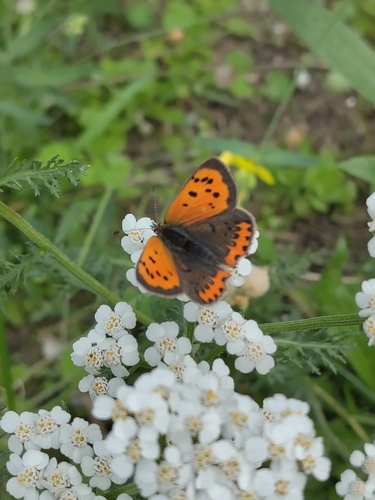
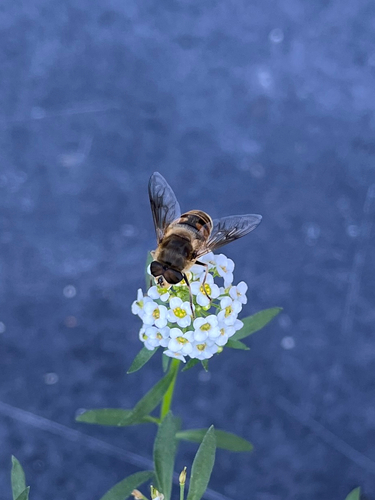
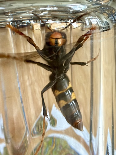
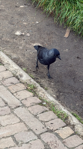
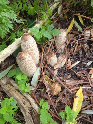
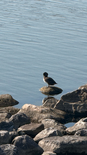
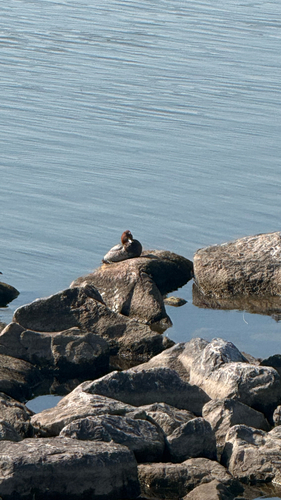
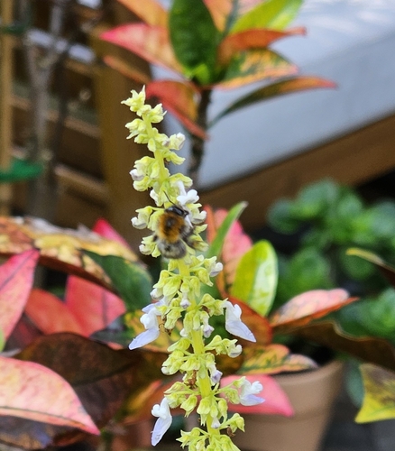
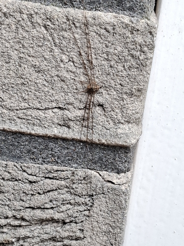
Research-grade observations from iNaturalist (within ~15 mi).
Events
Gallery
Official Identifiers
CBS — Statistics Netherlands
- CBS code
- 0439
- Population (Wikidata)
- 92,240
- Wikidata
- Q110423208
Gemeente codes via Wikidata P382
Sources
- • Wikipedia
- • Wikidata
- • Open-Meteo Air Quality (CAMS)
- • USGS Earthquake Catalog (global feed)
- • GBIF (Global Biodiversity Information Facility)
- • iNaturalist
- • Open-Meteo / sunrise-sunset.org
- • Wikipedia Pageviews API
- • Open Library
- • CBS — Statistics Netherlands, municipality code via Wikidata P382
- • CBS — Statistics Netherlands — Gemeente codes via Wikidata P382