Browse / Netherlands / Friesland / Raerd
Raerd
Frieslandvillage

Raerd
Total population
630
Demographic figures from CBS Netherlands. Overview below cites Wikipedia and may reference a different year.
City facts
Overview
Raerd is a village in Súdwest-Fryslân municipality in the province Friesland, the Netherlands. It had a population of around 630 in January 2017.
Read more on WikipediaHistory & geography
History
The village was first mentioned in the 13th century as Rawertham, and means "terp covered in reed". In the 11th or 12th century, a dike was built along the river. The village was located near the former Middelzee. The Dutch Reformed church was built in 1814 as a replacement of its medieval predecessor. The forest around the estate are currently owned by and is a park with a large colony of rooks and herons. Before 2011, the village was part of the Boarnsterhim municipality and before 1984 it was the seat of Rauwerdhem municipality.
Excerpted from the corresponding Wikipedia article (CC BY-SA).
Geography
Coordinates & boundaries from the US Census TIGER/Line shapefiles.
Climate
Air quality
Walkability
Amenities nearby
Wildlife & biodiversity
Most-observed species
- Common PipistrellePipistrellus pipistrellus (Schreber, 1774) · Mammalia24,616
- Great TitParus major Linnaeus, 1758 · Aves9,800
- Nathusius's BatPipistrellus nathusii (Keyserling & Blasius, 1839) · Mammalia9,556
- Eurasian Blue TitCyanistes caeruleus (Linnaeus, 1758) · Aves8,197
- MallardAnas platyrhynchos Linnaeus, 1758 · Aves7,771
- Eurasian BlackbirdTurdus merula Linnaeus, 1758 · Aves7,731
- Red AdmiralVanessa atalanta (Linnaeus, 1758) · Insecta7,701
- Small TortoiseshellAglais urticae (Linnaeus, 1758) · Insecta7,381
Citizen-science & research observations from the Global Biodiversity Information Facility (GBIF).
Earthquake history
Most recent
- M 3.8 — 2025-11-140 km ESE of Uithuizen, Netherlands
- M 2.7 — 2022-09-243 km SSW of Spijk, Netherlands
- M 3.2 — 2019-05-221 km E of Warffum, Netherlands
- M 3.4 — 2013-02-071 km NE of Usquert, Netherlands
- M 3.4 — 2012-08-161 km NNE of Loppersum, Netherlands
- M 3.3 — 2008-10-302 km SSW of Usquert, Netherlands
Events from the USGS Earthquake Catalog (global) (FDSN Event Web Service).
Photos
Sights & places nearby
Notable people from here
Geography & sun
Elevation, sunrise/sunset and daylight from Open-Meteo. Solar climatology from NASA POWER.
Nearby airports
Public attention
Pageview totals from the Wikimedia Pageviews API.
Books about this place
Recent natural events nearby
Ground air-quality sensors
Recently spotted species
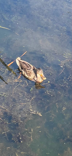


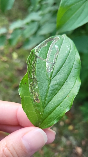
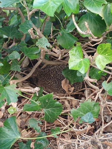
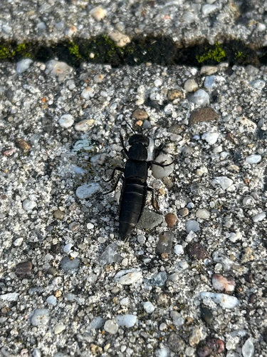
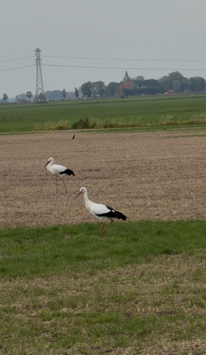
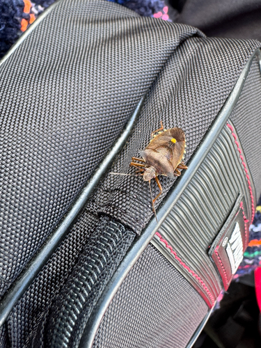
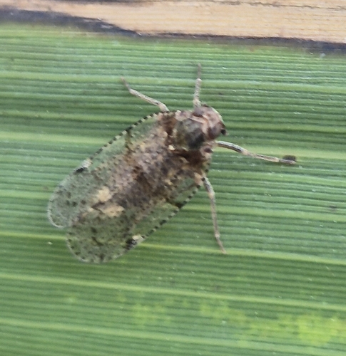
Research-grade observations from iNaturalist (within ~15 mi).
Events
Gallery
Sources
- • Wikipedia
- • USGS Earthquake Catalog (global feed)
- • GBIF (Global Biodiversity Information Facility)
- • iNaturalist
- • Open-Meteo / sunrise-sunset.org
- • Wikipedia Pageviews API