Browse / Netherlands / Limburg / Roggel
Roggel
Limburgvillage

Roggel
Total population
4,200
Demographic figures from CBS Netherlands. Overview below cites Wikipedia and may reference a different year.
City facts
Overview
Roggel is a village in the Dutch province of Limburg. It is located in the municipality of Leudal.
Read more on WikipediaHistory & geography
History
The village was first mentioned in 1230 as Rogle. The etymology is unclear. Roggel developed along the Roggelse Beek. It used to part of the County of Horne. Later it became it part of the Prince-Bishopric of Liège. In 1679, it became an independent heerlijkheid. The Catholic St Peter Church is a three aisled church which was built in 1477 to replace the 13th century chapel. The latest extension was in 1929. In 1944, the tower was partially blown up and rebuilt in 1946. The grist mill Sint-Pieter was built in 1901. After 1953, the mill went out of service. It was sold to the municipality in 1969, and restored in 1976. The wind mill is often in service. The former municipality of Roggel merged in 1991 with Neer. The new municipality was initially named "Roggel", but changed its name to Roggel en Neer in 1993. In 2007 Roggel en Neer became part of the new municipality of Leudal.
Excerpted from the corresponding Wikipedia article (CC BY-SA).
Geography
Coordinates & boundaries from the US Census TIGER/Line shapefiles.
Climate
Air quality
Walkability
Amenities nearby
Wildlife & biodiversity
Earthquake history
Photos
Sights & places nearby
Notable people from here


People born within ~10 km, from Wikidata (CC0). Click any name for their Wikipedia article.
Nearby places in Limburg
- Heythuysen1.4 mi away · pop. 6,475
- Nunhem2.1 mi away · pop. 665
- Haelen2.3 mi away · pop. 4,255
- Neer2.7 mi away · pop. 3,395
- Heibloem2.9 mi away · pop. 770
- Buggenum3 mi away · pop. 940
- Baexem3.2 mi away · pop. 2,660
- Leveroy3.6 mi away · pop. 1,039
- Egchel3.9 mi away · pop. 1,160
- Horn4 mi away · pop. 3,805
- Helden5 mi away · pop. 6,290
- Panningen5.1 mi away · pop. 7,290
Geography & sun
Elevation, sunrise/sunset and daylight from Open-Meteo. Solar climatology from NASA POWER.
Nearby airports
Public attention
Pageview totals from the Wikimedia Pageviews API.
Books about this place
Recent natural events nearby
Ground air-quality sensors
Recently spotted species
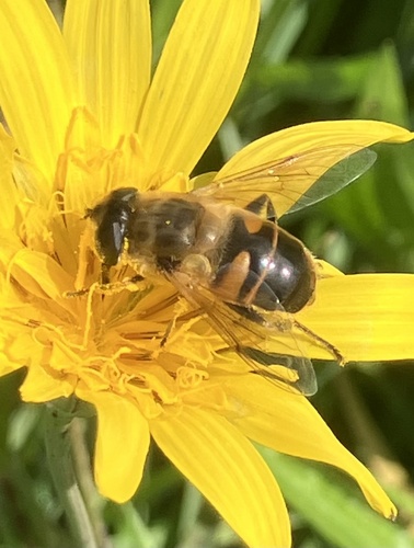
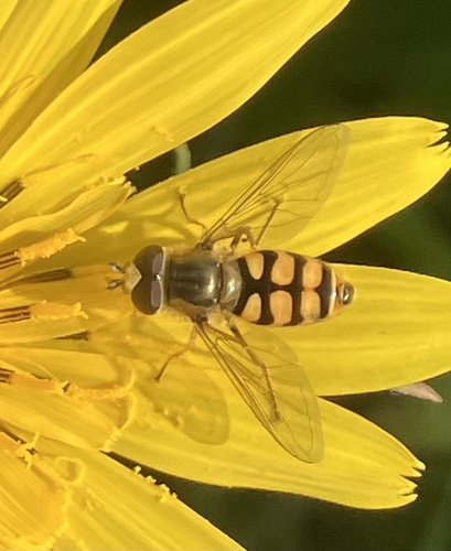
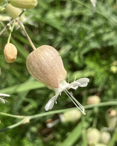
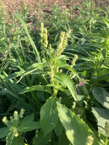
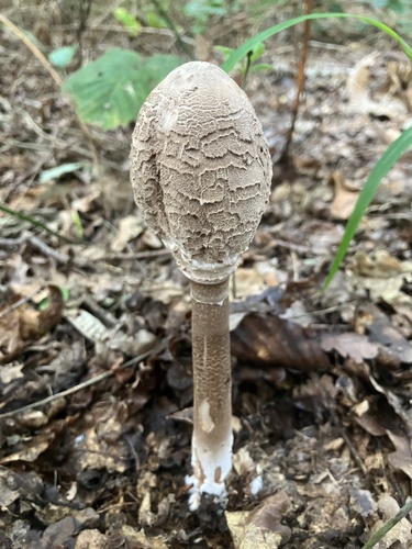
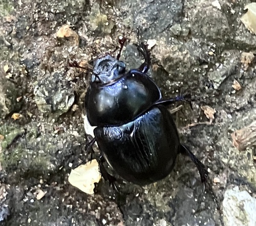
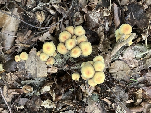
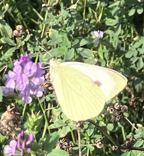
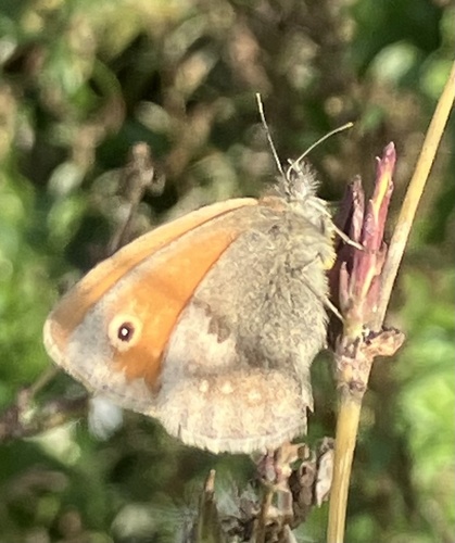
Research-grade observations from iNaturalist (within ~15 mi).
Events
Gallery
Official Identifiers
CBS — Statistics Netherlands
- CBS code
- 0958
- Population (Wikidata)
- 1,236
- Wikidata
- Q2621569
Gemeente codes via Wikidata P382
Sources
- • Wikipedia
- • Wikidata
- • iNaturalist
- • Open-Meteo / sunrise-sunset.org
- • Wikipedia Pageviews API
- • CBS — Statistics Netherlands, municipality code via Wikidata P382
- • CBS — Statistics Netherlands — Gemeente codes via Wikidata P382