Browse / Netherlands / South Holland / Rotterdam
Rotterdam
South Hollandcity

Rotterdam
Total population
572,392
Air quality index
Demographic figures from CBS Netherlands. Overview below cites Wikipedia and may reference a different year.
City facts
Sister cities
Facts from Wikidata (CC0).
Overview
Rotterdam is the second-largest city in the Netherlands by population and the largest by area (319.4 km2). It is in the province of South Holland, part of the North Sea mouth of the Rhine–Meuse–Scheldt delta, via the New Meuse inland shipping channel, dug to connect to the Meuse at first and now to the Rhine.
Read more on WikipediaHistory & geography
History
The settlement at the lower end of the fen stream Rotte (or Rotta, as it was then known, from rot, "muddy", and a, "water", thus "muddy water") dates from at least the year 950. Around 1150, large floods in the area ended development, leading to the construction of protective dikes and dams, including Schielands Hoge Zeedijk ("Schieland's High Sea Dike") along the northern banks of the present-day Nieuwe Maas river. A dam on the Rotte was built in the 1260s and was located at the present-day Hoogstraat. On 7 July 1340, Count Willem IV of Holland granted city rights to Rotterdam, which then had a population of only a few thousand. Around the year 1350, a shipping canal (the Rotterdamse Schie) was completed, which provided Rotterdam access to the larger towns in the north, allowing it to become a local trans-shipment centre between the Netherlands, England and Germany, and to urbanize. However, the economy of Rotterdam was mainly based on herring fishing until the Eighty Years' War, when it turned out that it is one of the few Dutch towns with an easy sea access. As a result, William the Silent built new fortifications around Rotterdam. The port of Rotterdam grew steadily in importance, the new harbours were built, and Rotterdam became the seat of one of the six chambers of the Vereenigde Oostindische Compagnie (VOC), the Dutch East India Company, and one of the five chambers of the West-Indische Compagnie (WIC), the Dutch West India Company. In the 17th century, the city grew beyond the fortifications, and by the 1670s, its population was around 30,000. inspired by American office buildings and built in 1898 in the French Art Nouveau style, is evidence of Rotterdam's rapid growth and success. When completed, it was the tallest office building in Europe, with a height…
Geography
Rotterdam is divided into a northern and a southern part by the river Nieuwe Maas, connected by (from west to east): the Beneluxtunnel; the Maastunnel; the Erasmusbrug; a subway tunnel; the Willemsspoortunnel ('Willems railway tunnel'); the Willemsbrug ('Willems Bridge') together with the Koninginnebrug ('Queen's Bridge'); and the Van Brienenoordbrug ('Van Brienenoord Bridge'). The former railway lift bridge De Hef ('the Lift') is preserved as a Rijksmonument (national heritage site) in lifted position between the Noordereiland ('North Island') and the south of Rotterdam. The city centre is located on the northern bank of the Nieuwe Maas, although recent urban development has extended the centre to parts of southern Rotterdam known as Kop van Zuid ('the Head of South', i.e., the northern part of southern Rotterdam). From its inland core, Rotterdam reaches the North Sea by a swathe of predominantly harbour area. Built mostly behind dikes, large parts of Rotterdam are below sea level. For instance, the Prins Alexander Polder in the northeast of Rotterdam extends below sea level, or rather below Normaal Amsterdams Peil (NAP) or 'Amsterdam Ordnance Datum'. The lowest point in the Netherlands ( below NAP) is situated just to the east of Rotterdam, in the municipality of Nieuwerkerk aan den IJssel. The Rotte river no longer joins the Nieuwe Maas directly. Since the early 1980s, when the construction of Rotterdam's second underground line interfered with the Rotte's course, its waters have been pumped through a pipe into the Nieuwe Maas via the Boerengat. Between the summers of 2003 and 2008, an artificial beach was created at the Boompjeskade along the Nieuwe Maas, between the Erasmus Bridge and the Willems Bridge. Swimming was not possible; digging pits was limited to…
Excerpted from the corresponding Wikipedia article (CC BY-SA).
Geography
Coordinates & boundaries from the US Census TIGER/Line shapefiles.
Climate
Air quality
Current readings from Open-Meteo Air Quality API (Copernicus CAMS European reanalysis).
Walkability
Amenities nearby
Wildlife & biodiversity
Most-observed species
- Eurasian CootFulica atra Linnaeus, 1758 · Aves59,020
- MallardAnas platyrhynchos Linnaeus, 1758 · Aves45,541
- Gray/Purple HeronArdea cinerea Linnaeus, 1758 · Aves45,081
- Common ChiffchaffPhylloscopus collybita (Vieillot, 1817) · Aves44,076
- Eurasian BlackbirdTurdus merula Linnaeus, 1758 · Aves41,813
- Great EgretArdea alba Linnaeus, 1758 · Aves38,076
- Great Crested GrebePodiceps cristatus (Linnaeus, 1758) · Aves37,789
- muskratOndatra zibethicus (Linnaeus, 1766) · Mammalia37,707
Citizen-science & research observations from the Global Biodiversity Information Facility (GBIF).
Earthquake history
Most recent
- M 2.9 — 2008-10-1119 km WNW of Egmond aan Zee, Netherlands
- M 3.4 — 2001-09-1010 km W of Wijk aan Zee, Netherlands
- M 3.8 — 2001-09-097 km W of Egmond aan Zee, Netherlands
Events from the USGS Earthquake Catalog (global) (FDSN Event Web Service).
Photos
Sights & places nearby
Notable people from here


People born within ~10 km, from Wikidata (CC0). Click any name for their Wikipedia article.
Nearby places in South Holland
- Pernis4.5 mi away · pop. 4,786
- Berkel en Rodenrijs4.6 mi away · pop. 30,048
- Bergschenhoek4.6 mi away · pop. 18,075
- Krimpen aan den IJssel4.8 mi away · pop. 29,123
- Bolnes5 mi away · pop. 7,740
- Rhoon5.2 mi away · pop. 15,450
- Barendrecht5.3 mi away · pop. 48,344
- Vlaardingen5.9 mi away · pop. 71,991
- Poortugaal5.9 mi away · pop. 9,645
- Hoogvliet6.3 mi away · pop. 34,502
- Nieuwerkerk aan den IJssel6.4 mi away · pop. 21,595
- Bleiswijk6.4 mi away · pop. 11,919
Geography & sun
Elevation, sunrise/sunset and daylight from Open-Meteo. Solar climatology from NASA POWER.
Nearby airports
Public attention
Pageview totals from the Wikimedia Pageviews API.
Books about Rotterdam

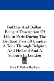

Search results from Open Library.
Recent natural events nearby
Ground air-quality sensors
Recently spotted species
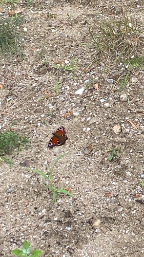
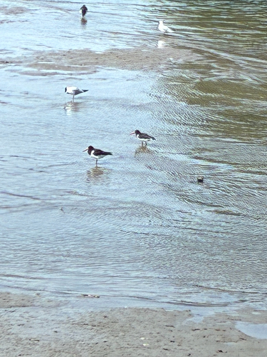
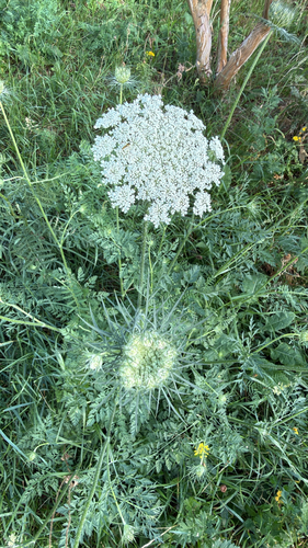
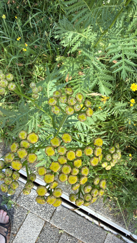
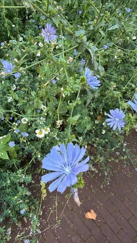
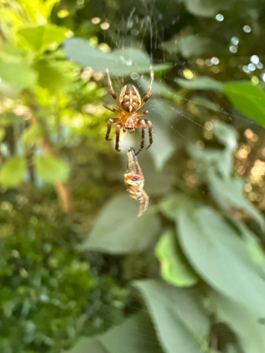
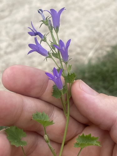
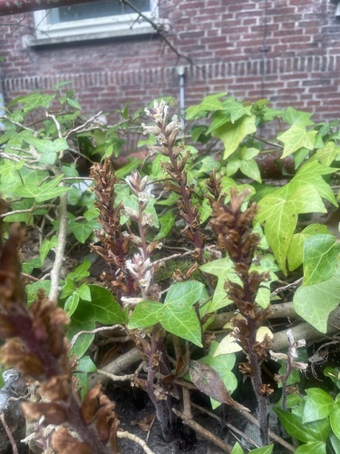
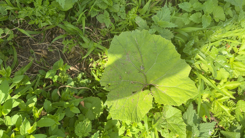
Research-grade observations from iNaturalist (within ~15 mi).
Events
Notable, recurring, and historical events associated with Rotterdam, sourced from Wikidata.
- Koningsdag 2023Apr 27, 2023recurring event edition
- Jan 1, 2023
- Pro-Islamic Republic of Afghanistan rally, Rotterdam (21 August, 2021)Aug 21, 2021demonstration
2021 rally in support of the Islamic Republic of Afghanistan held in Rotterdam
- Jan 1, 2019
- SMWCon Fall 2017Oct 4, 2017recurring event edition
conference of the Semantic MediaWiki community, October 2017, Rotterdam, The Netherlands
- Q2374665Dec 28, 2010meeting
- Jun 13, 1999
- Q71942229Apr 28, 1977sporting event
- Q14942339recurring event
Source: Wikidata (CC0).
Gallery
Official Identifiers
CBS — Statistics Netherlands
- CBS code
- 0599
- Population (Wikidata)
- 655,468
- Wikidata
- Q2680952
Gemeente codes via Wikidata P382
Sources
- • Wikipedia
- • Wikidata
- • Open-Meteo Air Quality (CAMS)
- • USGS Earthquake Catalog (global feed)
- • GBIF (Global Biodiversity Information Facility)
- • iNaturalist
- • Open-Meteo / sunrise-sunset.org
- • Wikipedia Pageviews API
- • Open Library
- • CBS — Statistics Netherlands, municipality code via Wikidata P382
- • CBS — Statistics Netherlands — Gemeente codes via Wikidata P382