Browse / Netherlands / Zeeland / Sas van Gent
Sas van Gent
Zeelandvillage

Sas van Gent
Total population
3,975
Demographic figures from CBS Netherlands. Overview below cites Wikipedia and may reference a different year.
City facts
Facts from Wikidata (CC0).
Overview
Sas van Gent is a town in the Netherlands. It is located in the Dutch province of Zeeland. It is a part of the municipality of Terneuzen and lies about 30 km south of Vlissingen on the border with Belgium.
Read more on WikipediaHistory & geography
History
Sas van Gent is a border fortress which was founded in 1547 when the city of Ghent received permission from Charles V, Holy Roman Emperor to dig a canal to the Westerschelde. Between 1551 and 1563, a lock was constructed north of Zelzate which was subsequently fortified. In 1583, it was captured by Spanish troops. The Catholic Assumption of Mary church is a three-aisled basilica like church built between 1891 and 1892 and designed by Joseph Cuypers. The church is a replacement of its 1739 predecessor. In 1869, a railway station opened on the Terneuzen to Ghent railway line. The line was closed in 1939, and the building was demolished in 1967. The city started to industrialize in the late 19th century. As the rest of Zeeland did not have enough fresh water for sugar production, Sas van Gent got two beet sugar factories. The first was the NV Zeeuwsche Beetwortelsuikerfabriek founded in 1872. The other was a cooperative; the Eerste Nederlandsche Coöperatieve Beetwortelsuikerfabriek (ENCBS). A museum dedicated to the industrial heritage is located in the warehouses of the former ENCBS, which closed down in 1989. The former municipality covered an area of 63.65 km² (of which 3.02 km² water). The former municipality of Sas van Gent also included the following towns, villages and townships: Philippine, Westdorpe, Zandstraat. All are now part of Terneuzen.
Excerpted from the corresponding Wikipedia article (CC BY-SA).
Geography
Coordinates & boundaries from the US Census TIGER/Line shapefiles.
Climate
Air quality
Walkability
Amenities nearby
Wildlife & biodiversity
Earthquake history
Photos
Sights & places nearby
Notable people from here


People born within ~10 km, from Wikidata (CC0). Click any name for their Wikipedia article.
Nearby places in Zeeland
- Westdorpe1.1 mi away · pop. 1,905
- Sluiskil3.8 mi away · pop. 2,355
- Philippine4.1 mi away · pop. 2,050
- Zuiddorpe4.5 mi away · pop. 920
- Axel5.4 mi away · pop. 7,835
- Hoek5.7 mi away · pop. 2,935
- Spui5.9 mi away · pop. 185
- Terneuzen7 mi away · pop. 25,280
- Koewacht7.4 mi away · pop. 2,545
- Zaamslag7.6 mi away · pop. 2,800
- Biervliet8.5 mi away · pop. 1,756
- Heikant9.8 mi away · pop. 1,125
Geography & sun
Elevation, sunrise/sunset and daylight from Open-Meteo. Solar climatology from NASA POWER.
Nearby airports
Public attention
Pageview totals from the Wikimedia Pageviews API.
Books about this place
Recent natural events nearby
Ground air-quality sensors
Recently spotted species
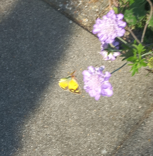
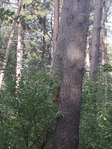
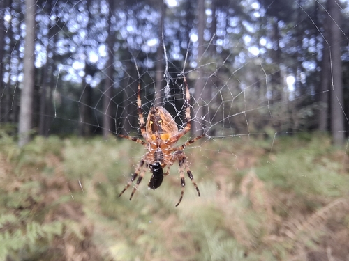
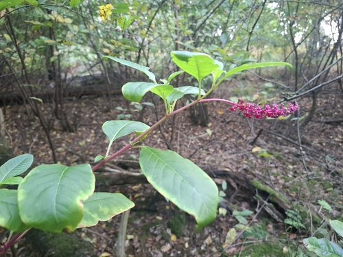
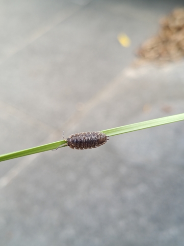
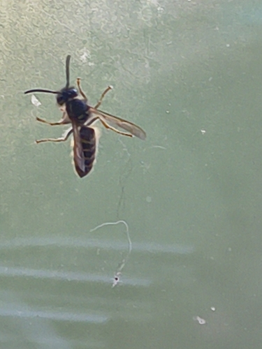
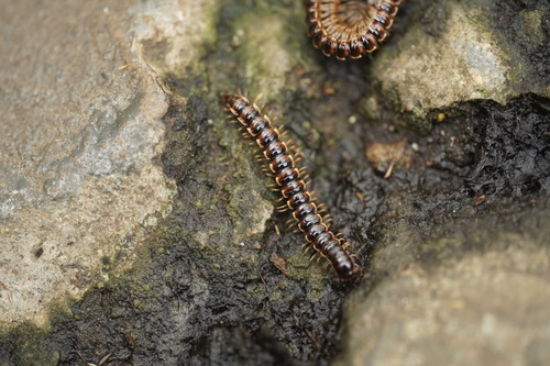
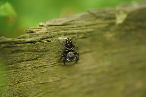
Research-grade observations from iNaturalist (within ~15 mi).
Events
Gallery
Official Identifiers
CBS — Statistics Netherlands
- CBS code
- 0704
- Population (Wikidata)
- 822
- Wikidata
- Q81086
Gemeente codes via Wikidata P382
Sources
- • Wikipedia
- • Wikidata
- • iNaturalist
- • Open-Meteo / sunrise-sunset.org
- • Wikipedia Pageviews API
- • CBS — Statistics Netherlands, municipality code via Wikidata P382
- • CBS — Statistics Netherlands — Gemeente codes via Wikidata P382