Browse / Netherlands / Limburg / Schinveld
Schinveld
Limburgvillage

Schinveld
Total population
4,742
Demographic figures from CBS Netherlands. Overview below cites Wikipedia and may reference a different year.
City facts
Facts from Wikidata (CC0).
Overview
Schinveld is a village in the Dutch province of Limburg. It is located in the municipality of Beekdaelen.
Read more on WikipediaHistory & geography
History
The village was first mentioned in 1180 as "in uilla Schinneuelt". The etymology is unclear. Schinveld developed in the Late Middle Ages at the intersection of roads. In the early-20th century, it became a mining town. The Catholic St Eligius church is a basilica-like church in Gothic Revival style with a large tower which was built in 1889 and 1890. The tower from around 1500 was completed and enlarged in 1902. Huize Heijenhoven is an estate enclosed with a moat from the late-14th century which received its current shape around 1753. In the 19th century, it was converted into a farm. Between 1976 and 1985, it was restored and converted into a restaurant. and served as its capital. In 2019, it was merged into Beekdaelen.
Excerpted from the corresponding Wikipedia article (CC BY-SA).
Geography
Coordinates & boundaries from the US Census TIGER/Line shapefiles.
Climate
Air quality
Walkability
Amenities nearby
Wildlife & biodiversity
Earthquake history
Photos
Sights & places nearby
Notable people from here


People born within ~10 km, from Wikidata (CC0). Click any name for their Wikipedia article.
Nearby places in Limburg
- Bingelrade1.6 mi away · pop. 826
- Jabeek1.8 mi away · pop. 707
- Brunssum1.9 mi away · pop. 28,358
- Merkelbeek2.2 mi away · pop. 1,585
- Doenrade3.1 mi away · pop. 1,123
- Amstenrade3.1 mi away · pop. 2,673
- Oirsbeek3.3 mi away · pop. 3,734
- Hommert3.6 mi away · pop. 1,080
- Vaesrade4.1 mi away · pop. 997
- Schinnen4.4 mi away · pop. 2,693
- Puth4.8 mi away · pop. 2,006
- Landgraaf4.8 mi away · pop. 37,456
Geography & sun
Elevation, sunrise/sunset and daylight from Open-Meteo. Solar climatology from NASA POWER.
Nearby airports
Public attention
Pageview totals from the Wikimedia Pageviews API.
Books about this place
Recent natural events nearby
Ground air-quality sensors
Recently spotted species
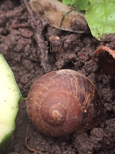
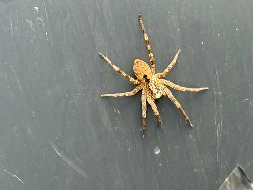
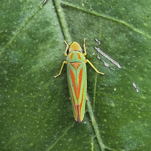
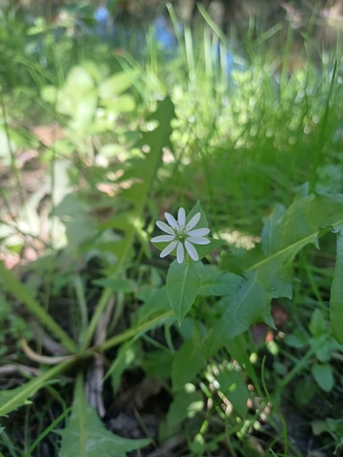
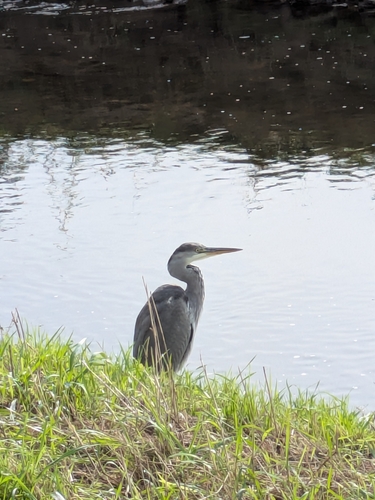
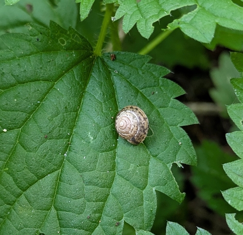
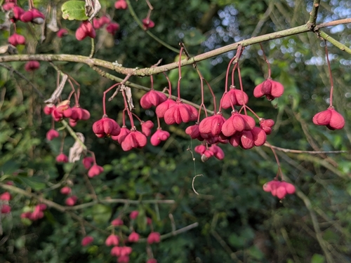
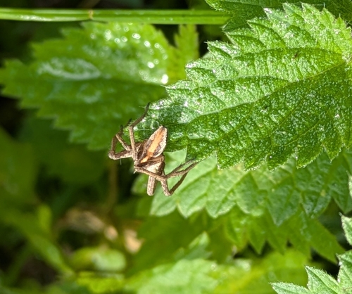
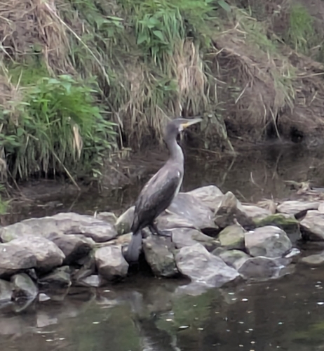
Research-grade observations from iNaturalist (within ~15 mi).
Events
Gallery
Official Identifiers
CBS — Statistics Netherlands
- CBS code
- 0963
- Population (Wikidata)
- 674
- Wikidata
- Q1961936
Gemeente codes via Wikidata P382
Sources
- • Wikipedia
- • Wikidata
- • iNaturalist
- • Open-Meteo / sunrise-sunset.org
- • Wikipedia Pageviews API
- • CBS — Statistics Netherlands, municipality code via Wikidata P382
- • CBS — Statistics Netherlands — Gemeente codes via Wikidata P382