Browse / Netherlands / Zeeland / Sint-Annaland
Sint-Annaland
Zeelandvillage

Sint-Annaland
Total population
3,665
Demographic figures from CBS Netherlands. Overview below cites Wikipedia and may reference a different year.
City facts
Facts from Wikidata (CC0).
Overview
Sint-Annaland is a village in the Dutch province of Zeeland. It is part of the municipality of Tholen, and lies about 18 km northwest of Bergen op Zoom.
Read more on WikipediaHistory & geography
History
The village was first mentioned in 1493 as Sint Annenlant, and is named after Saint Anne, the patron saint of Anna van Bourgondië who ordered the poldering of the land. Sint Annaland developed after the salt marshes of the Oudelandpolder were diked in 1476. In 1668, the Suzannapolder, named after the daughter of Constantijn Huygens, was reclaimed and a harbour was added to the village. The Dutch Reformed church was built in 1899 as a cruciform church and features a tower with a wooden lantern. It replaced the earlier church from 1494. Since 1899, there is a potato auction in Sint-Annaland. It is the only remaining potato auction of the Netherlands and functions as a Dutch auction where the buyers have to watch the clock and the potatoes are sold to whoever presses the button first. It is open for tourists on Wednesdays. Sint-Annaland was home to 1,792 people in 1840. The village was affected by the North Sea flood of 1953. In 1960, the old harbour was filled in and a new harbour was constructed to the north of the village.
Excerpted from the corresponding Wikipedia article (CC BY-SA).
Geography
Coordinates & boundaries from the US Census TIGER/Line shapefiles.
Climate
Air quality
Walkability
Amenities nearby
Wildlife & biodiversity
Earthquake history
Photos
Sights & places nearby
Notable people from here


People born within ~10 km, from Wikidata (CC0). Click any name for their Wikipedia article.
Nearby places in Zeeland
- Anna Jacobapolder2.9 mi away · pop. 230
- Sint Philipsland3 mi away · pop. 2,390
- Scherpenisse3.7 mi away · pop. 1,790
- Sint-Maartensdijk3.7 mi away · pop. 3,490
- Stavenisse4 mi away · pop. 1,720
- Poortvliet4.2 mi away · pop. 1,635
- Bruinisse4.3 mi away · pop. 3,790
- Oosterland4.5 mi away · pop. 2,335
- Oud-Vossemeer4.6 mi away · pop. 2,695
- Ouwerkerk5.4 mi away · pop. 600
- Nieuwerkerk5.5 mi away · pop. 2,640
- Sirjansland6.1 mi away · pop. 350
Geography & sun
Elevation, sunrise/sunset and daylight from Open-Meteo. Solar climatology from NASA POWER.
Nearby airports
Public attention
Pageview totals from the Wikimedia Pageviews API.
Books about this place
Recent natural events nearby
Ground air-quality sensors
Recently spotted species
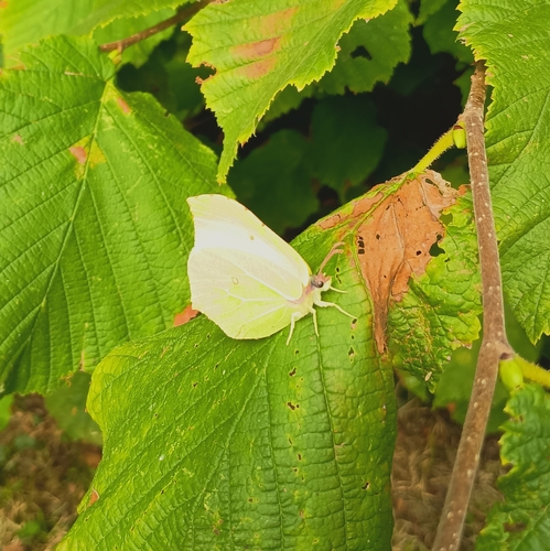
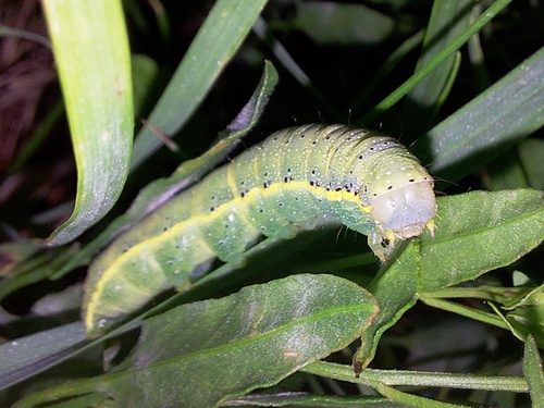
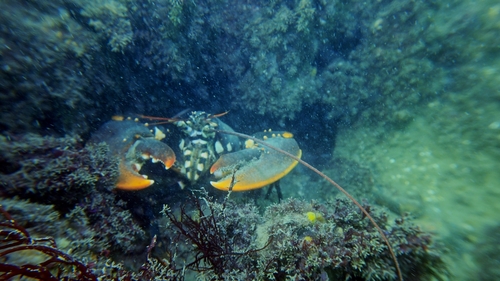
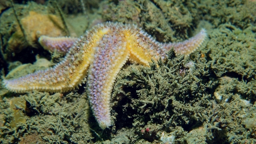
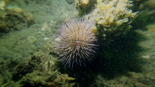
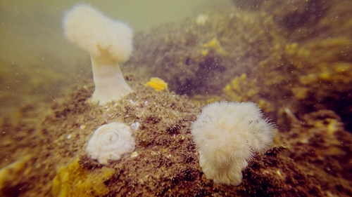
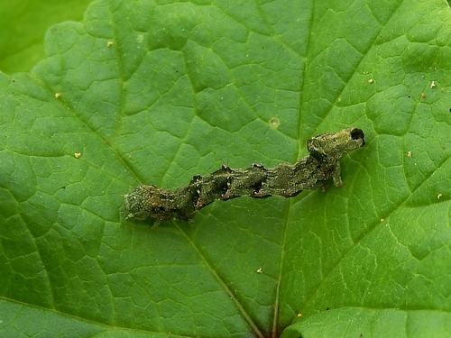
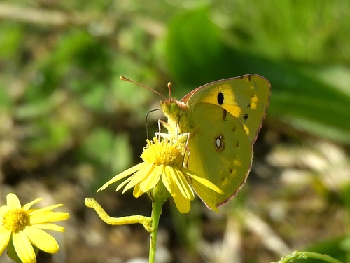
Research-grade observations from iNaturalist (within ~15 mi).
Events
Gallery
Official Identifiers
CBS — Statistics Netherlands
- CBS code
- 0708
- Population (Wikidata)
- 1,277
- Wikidata
- Q2624113
Gemeente codes via Wikidata P382
Sources
- • Wikipedia
- • Wikidata
- • iNaturalist
- • Open-Meteo / sunrise-sunset.org
- • Wikipedia Pageviews API
- • CBS — Statistics Netherlands, municipality code via Wikidata P382
- • CBS — Statistics Netherlands — Gemeente codes via Wikidata P382