Browse / Netherlands / North Brabant / Sint-Oedenrode
Sint-Oedenrode
North Brabanttown

Sint-Oedenrode
Total population
13,635
Demographic figures from CBS Netherlands. Overview below cites Wikipedia and may reference a different year.
City facts
Sister cities
Facts from Wikidata (CC0).
Overview
Sint-Oedenrode is a town in the Dutch province of North Brabant.
Read more on WikipediaHistory & geography
History
During the World War II Sint-Oedenrode suffered tremendously. In May 1940 the German Army invaded the Low Countries and France, and due to the retreat from the Peel-Raam Line by the Dutch Armed Forces skirmishes arose in Sint-Oedenrode in an attempt to keep the enemy at bay. After the capitulation (15 May 1940, in Zeeland 2 days later) Sint-Oedenrode found itself under German occupation. There was a small German Luftwaffe detachment of about 15 people providing a manned look-out (just like the Royal Observer Corps) for Allied planes which were undertaking operations against Volkel Air Base and Eindhoven (Air Base Welschap, now Eindhoven Airport). During the final months of occupation, the mayor (appointed by Queen Wilhelmina) was sacked and replaced by a pro-German mayor. The reasons for the sacking were that the central Distribution Office was plundered from blank distribution cards that were necessary to get coupons for males who were hiding from the Arbeitseinsatz (compulsory labour in the German war industry) and were using fake names. Also the mayor tried to sabotage the arbeitseinsatz. With the beginning of Operation Market Garden in September 1944, Sint-Oedenrode found itself on an important location between the Allied landing zones in Son and Veghel. General Dwight D. Eisenhower and Field Marshal Bernard Montgomery had the important task to keep the corridor (which ran through Sint-Oedenrode) open for the passage of the British XXX Corps to conquer Nijmegen. The US 101st Airborne Division liberated the Town of Sint-Oedenrode (the 'Market' part) after para droppings in the fields in the vicinity. They were followed by the British XXX Army Corps (the 'Garden' part). For a brief time the 18th-century castle Henkenshage was used as allied HQ. The British left…
Excerpted from the corresponding Wikipedia article (CC BY-SA).
Geography
Coordinates & boundaries from the US Census TIGER/Line shapefiles.
Climate
Air quality
Walkability
Amenities nearby
Wildlife & biodiversity
Earthquake history
Photos
Sights & places nearby
Notable people from here


People born within ~10 km, from Wikidata (CC0). Click any name for their Wikipedia article.
Nearby places in North Brabant
- Boskant1.9 mi away · pop. 1,560
- Olland2.6 mi away · pop. 1,040
- Eerde3.1 mi away · pop. 1,375
- Wijbosch3.7 mi away · pop. 1,435
- Zijtaart4 mi away · pop. 1,595
- Mariahout5 mi away · pop. 1,930
- Nederwetten5.7 mi away · pop. 850
- Gemonde5.9 mi away · pop. 2,235
- Boxtel6.1 mi away · pop. 24,610
- Lennisheuvel6.3 mi away · pop. 1,200
- Gerwen6.9 mi away · pop. 2,080
- Mariaheide7 mi away · pop. 1,485
Geography & sun
Elevation, sunrise/sunset and daylight from Open-Meteo. Solar climatology from NASA POWER.
Nearby airports
Public attention
Pageview totals from the Wikimedia Pageviews API.
Books about this place
Recent natural events nearby
Ground air-quality sensors
Recently spotted species
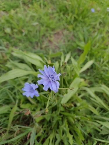

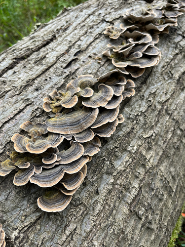

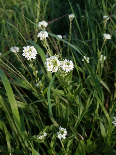
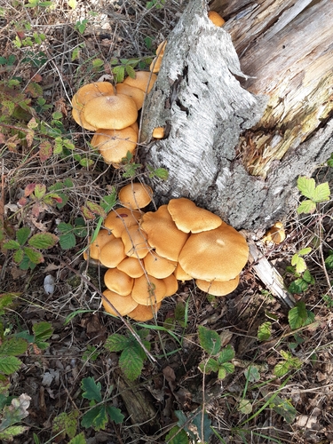

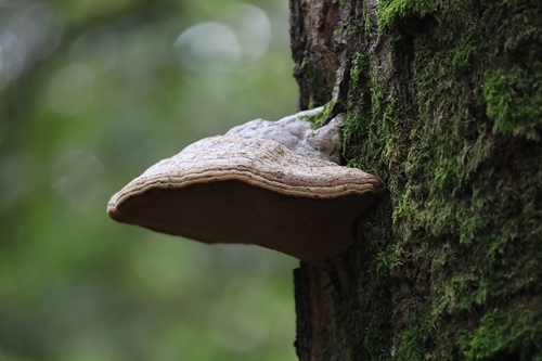
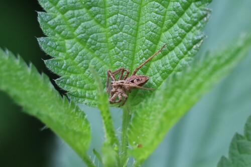
Research-grade observations from iNaturalist (within ~15 mi).
Events
Gallery
Official Identifiers
CBS — Statistics Netherlands
- CBS code
- 0846
- Population (Wikidata)
- 17,818
- Wikidata
- Q50885806
Gemeente codes via Wikidata P382
Sources
- • Wikipedia
- • Wikidata
- • iNaturalist
- • Open-Meteo / sunrise-sunset.org
- • Wikipedia Pageviews API
- • CBS — Statistics Netherlands, municipality code via Wikidata P382
- • CBS — Statistics Netherlands — Gemeente codes via Wikidata P382