Browse / Netherlands / North Brabant / Son en Breugel
Son en Breugel
North Brabanttown

Son en Breugel
Total population
16,626
Demographic figures from CBS Netherlands. Overview below cites Wikipedia and may reference a different year.
City facts
Facts from Wikidata (CC0).
Overview
Son en Breugel is a municipality in the southern Netherlands just outside Eindhoven. The municipality covers an area of 26.51 km2 (10.24 sq mi) of which 0.56 km2 (0.22 sq mi) is water. It had a population of 17,552 in 2021. Son en Breugel used to be two different villages: 'Son' and 'Breugel', with the stream of the Dommel separating the two villages. Son en Breugel also borders the following larger municipalities: Eindhoven, Meierijstad, Nuenen, Gerwen en Nederwetten, and Best. The spoken language is North Meierijs.
Read more on WikipediaHistory & geography
History
The villages of Son and Breugel were founded between the 12th and 14th centuries. The villages developed quickly; some 300 households (150 household for each village) occupied the two villages during the 15th century. According to Karel van Mander's 1604 Schilder-boeck, the painter Pieter Bruegel the Elder was born in the village of Breugel. Both Son as well as Breugel were hit badly during the Eighty Years' War, and the number of households in the two villages shrank down to approximately 140 (which translates to approximately 600 - 800 inhabitants). However, both villages managed to recover from this setback. During the reign of Napoleon, both villages were combined into one municipality. Until the beginning of the 20th century, the population stayed relatively stable at about 1,500 inhabitants. However, between 1910 and 1940 the population increased from 1,600 to 3,500 inhabitants when people started moving to the village for economic reasons. It was the scene of heavy fighting at the end of the Second World War, particularly during Operation Market Garden. From 1960 onwards, Son en Breugel continued to grow. As of January 1 2024, the number of inhabitants was estimated at 17,000.
Excerpted from the corresponding Wikipedia article (CC BY-SA).
Geography
Coordinates & boundaries from the US Census TIGER/Line shapefiles.
Climate
Air quality
Walkability
Amenities nearby
Wildlife & biodiversity
Earthquake history
Photos
Sights & places nearby
Notable people from here


People born within ~10 km, from Wikidata (CC0). Click any name for their Wikipedia article.
Nearby places in North Brabant
- Nederwetten2 mi away · pop. 850
- Mariahout3.4 mi away · pop. 1,930
- Gerwen3.4 mi away · pop. 2,080
- Boskant4 mi away · pop. 1,560
- Zijtaart5.5 mi away · pop. 1,595
- Eindhoven5.5 mi away · pop. 235,923
- Olland6 mi away · pop. 1,040
- Eerde6 mi away · pop. 1,375
- Boerdonk6.1 mi away · pop. 750
- Wijbosch7.2 mi away · pop. 1,435
- Veldhoven8 mi away · pop. 44,724
- Wintelre8.5 mi away · pop. 1,910
Geography & sun
Elevation, sunrise/sunset and daylight from Open-Meteo. Solar climatology from NASA POWER.
Nearby airports
Public attention
Pageview totals from the Wikimedia Pageviews API.
Books about this place
Recent natural events nearby
Ground air-quality sensors
Recently spotted species
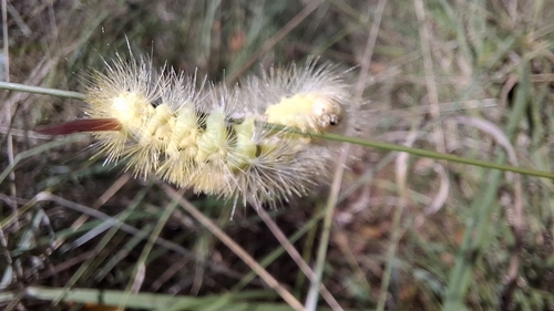
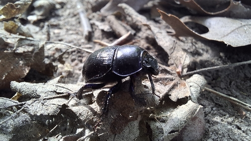
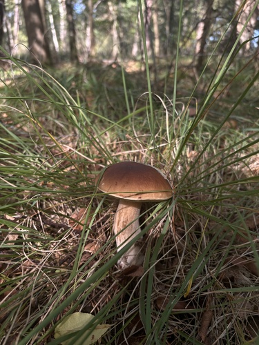
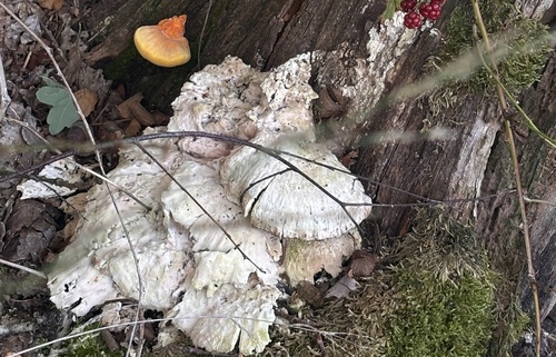
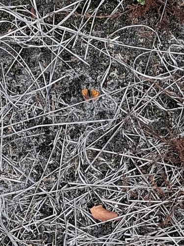
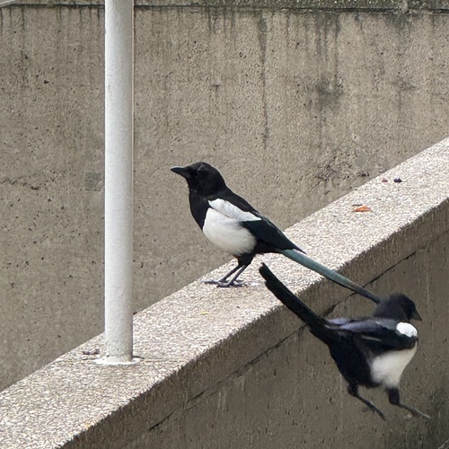
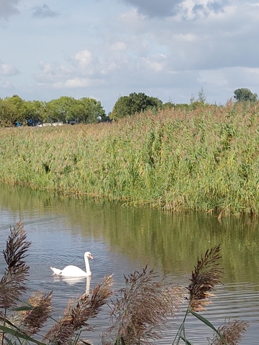
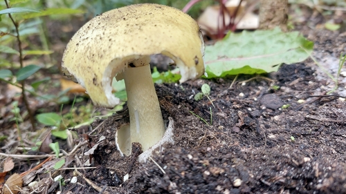
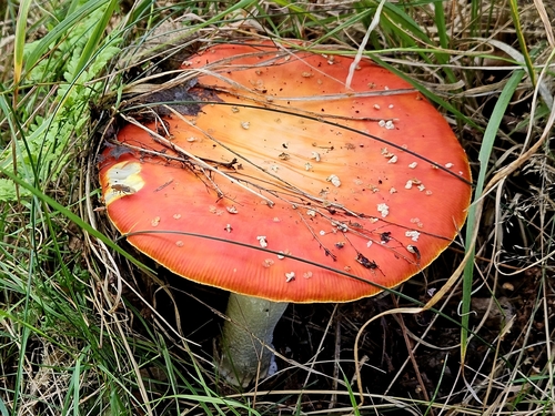
Research-grade observations from iNaturalist (within ~15 mi).
Events
Gallery
Official Identifiers
CBS — Statistics Netherlands
- CBS code
- 0848
- Population (Wikidata)
- 17,552
- Wikidata
- Q9869
Gemeente codes via Wikidata P382
Sources
- • Wikipedia
- • Wikidata
- • iNaturalist
- • Open-Meteo / sunrise-sunset.org
- • Wikipedia Pageviews API
- • CBS — Statistics Netherlands, municipality code via Wikidata P382
- • CBS — Statistics Netherlands — Gemeente codes via Wikidata P382